Killin: The Falls of Dochart, the Healing Stones & the Head of Loch Tay
Overview — a place we keep coming back to
Some villages you drive through. Killin you stop at — and then keep coming back to. It’s a place my wife and I both love — lovely walks, good coffee shops, easy free parking, blissfully quiet, and a real spiritual feeling to it. We have so many places in Scotland we like very much that we’d never crown a single favourite — there are far too many — but Killin is right up among the ones we come back to again and again. And it’s easy to see why: you park for free at the back of the town, walk two minutes, and you’re standing on an old bridge watching the Falls of Dochart thunder over the rocks, with an ancient burial island in the middle of the river and the hills of Breadalbane rising all around.
We’ve been several times, in the campers, and it never loses it. The history here runs deep — genuinely deep, back to an 8th-century saint and beyond — and it’s all wrapped up in a working Highland village with good tea rooms, a lovely hotel that does very nice food, riverside and loch-side walks straight from the car park, and one of the best long bike rides in this part of Scotland. Lillie loves it too.
This page is a long one, because Killin earns it.
Where it is (and where on the route)
Killin sits at the head (west end) of Loch Tay, in Breadalbane — the old heart of highland Perthshire, now Stirling council area. The River Dochart comes down Glen Dochart from the west, crashes through the village as the falls, and empties into Loch Tay just beyond. Above it all stand Ben Lawers (1,214 m — the highest mountain in the southern Highlands) and the Tarmachan ridge.
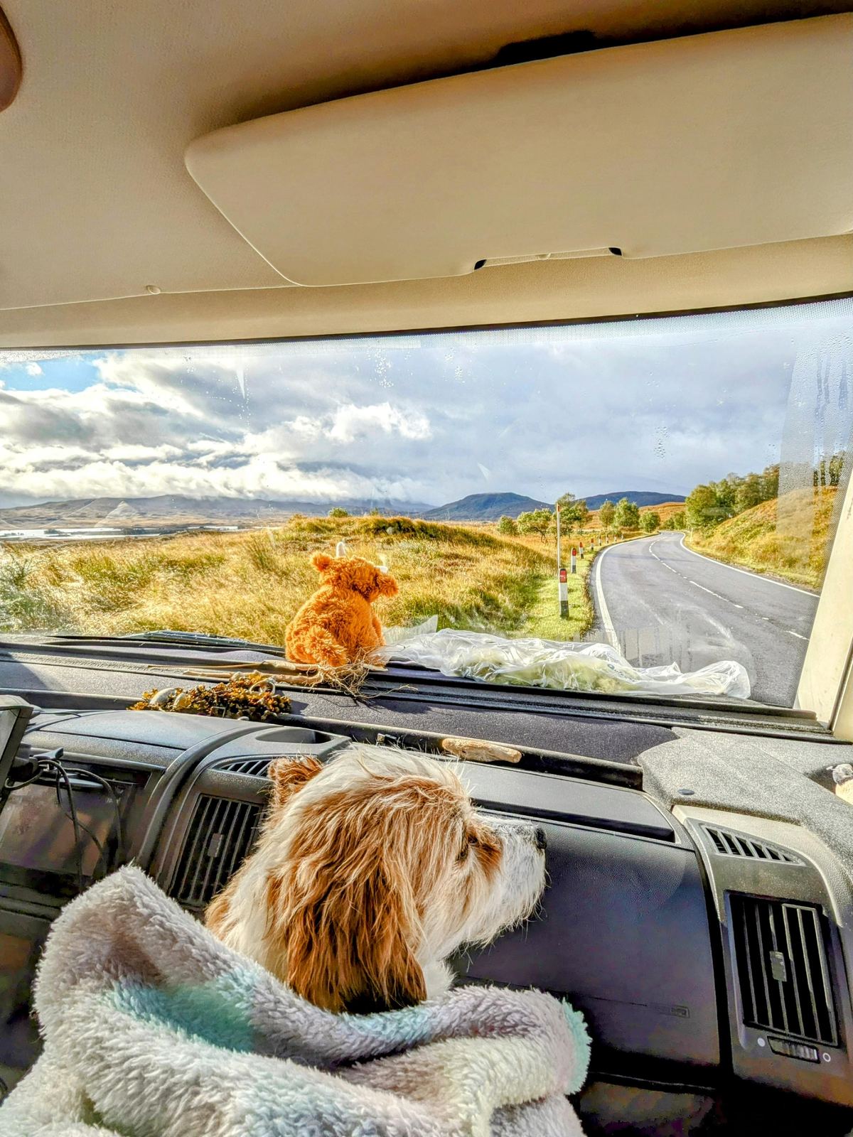
It’s a natural stop between Loch Lomond / the Trossachs and Perthshire, and a stage town on the Rob Roy Way. However you come at it, the drive in is half the pleasure — we rolled down off the A82 by Bridge of Orchy, on the edge of Rannoch Moor, before turning east for the head of Loch Tay.
The Falls of Dochart
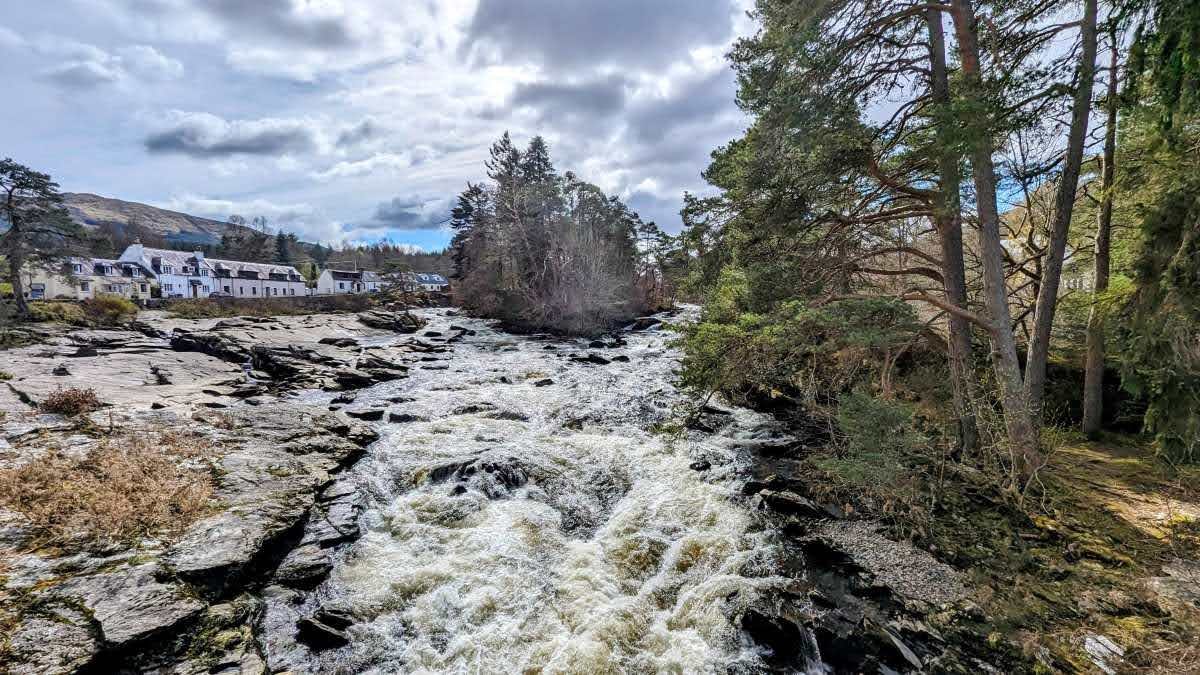
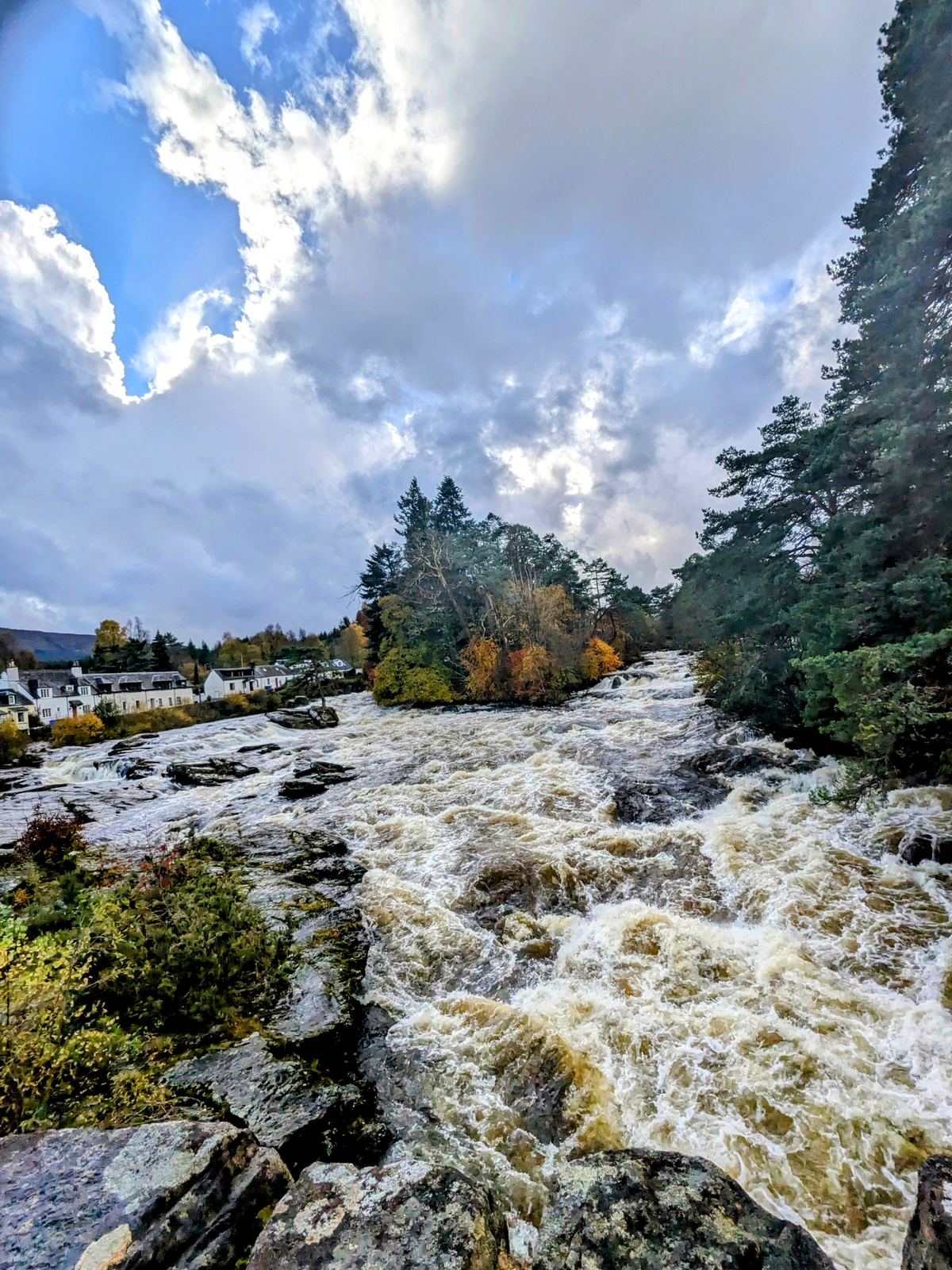
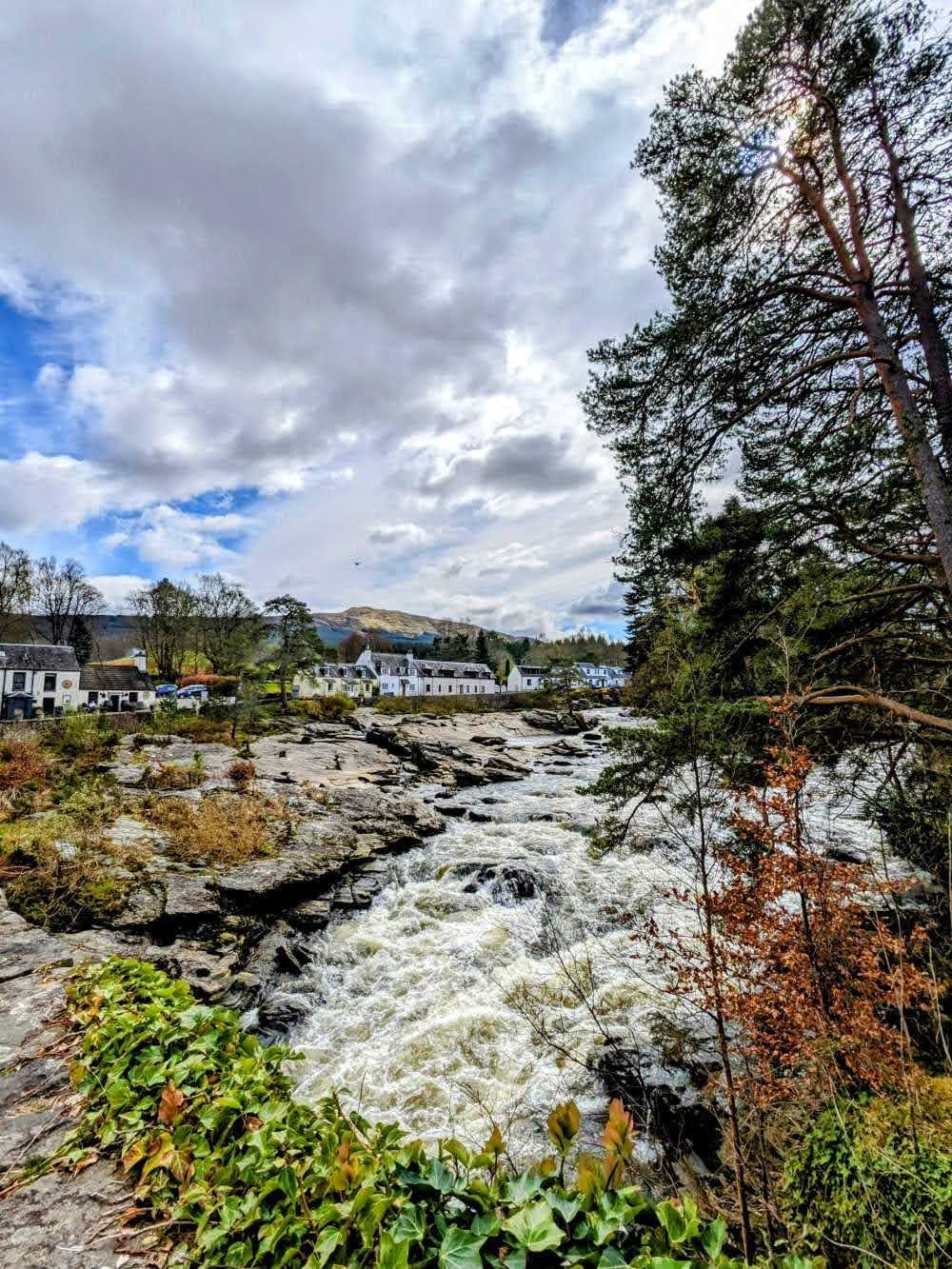
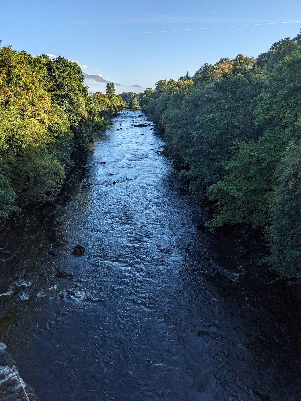
The falls are the reason most people stop — and rightly so. This isn’t a single vertical drop but a wide, roaring run of rapids and cascades where the River Dochart broadens and steepens over shelves of rock right in the centre of the village. After heavy rain it’s a genuine torrent; in a dry spell it settles to braided channels over bare stone. Either way, it’s one of the most accessible big-water spectacles in Scotland — you’re watching it from the pavement and the bridge.
It’s long drawn writers and painters north; the early Romantic travellers of the 1800s helped make its name. Stand on the bridge for ten minutes and you’ll understand why.
Come in autumn after rain and the falls are at their thunderous best — brown-white water piling over the ledges with the birches and oaks along the banks in full colour. It’s our favourite time of year to stand on the old bridge and just watch.
The Bridge of Dochart — “quite unique”
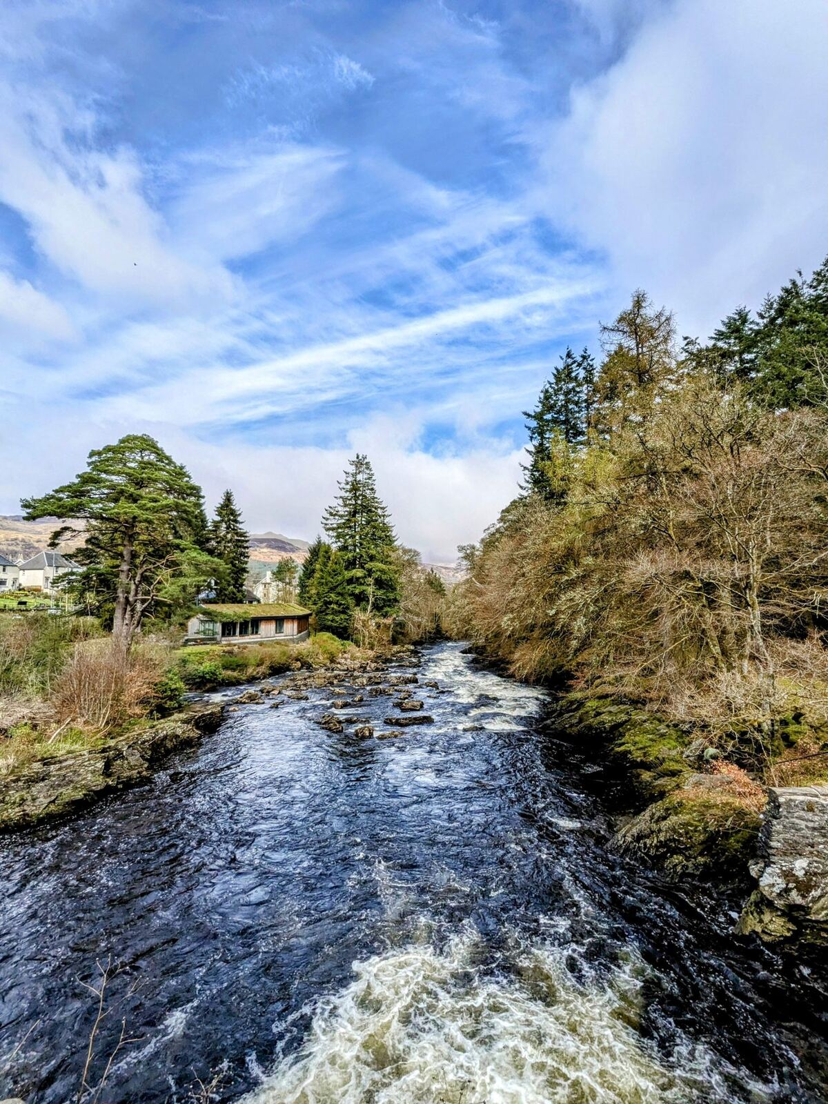
The narrow, humpbacked Bridge of Dochart carries the main road (A827) across the falls, and it really is one of a kind. It was first built in 1760 and, after part was swept away by flood, rebuilt in 1831. What makes it unusual is that it doesn’t span a clean channel — it’s threaded through the rapids and around the island on the natural rock, in a set of unequal stone arches (four segmental arches plus culverts). It’s a listed structure, and it’s the best free grandstand for the falls.
(No record survives of who built it — so if you read a confident name for the mason somewhere, treat it with caution.)
Innis Bhuidhe & the Clan MacNab
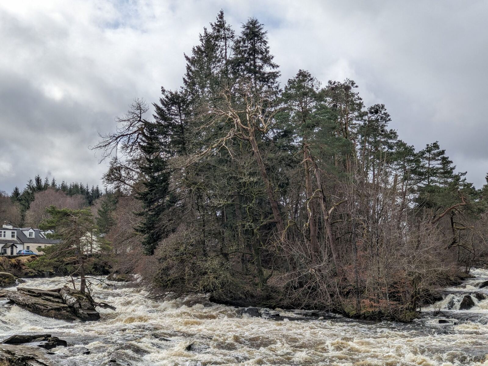
In the middle of the falls, held between the arms of the river, is a small wooded island — Innis Bhuidhe (“the yellow island,” anglicised Inchbuie). For centuries it has been the ancient burial ground of Clan MacNab, whose chiefs ruled this district from their seat at nearby Kinnell. Behind its 18th-century walled enclosure lie nine clan chiefs, alongside a medieval graveslab carved with a kilted warrior; the island also carries the earthwork remains of two Iron Age forts. It’s cared for by the MacNab Memorial Trust, and access to the locked enclosure has traditionally been by a key kept in the village.
The MacNabs are a properly Highland story: they backed the losing side against Robert the Bruce and were nearly wiped out; there’s the famous (and bloodthirsty) tale of “Smooth John” MacNab and his brothers carrying a boat overland by night to settle a feud with the Neishes on Loch Earn; and there’s Francis MacNab, the larger-than-life 18th-century chief immortalised in Raeburn’s portrait “The MacNab,” now in Kelvingrove in Glasgow. (Take the feud tale as clan tradition rather than documented history — but it’s a good one.)
The Healing Stones of St Fillan ✨
My wife feels a special pull to the Healing Stones — and they might just be the most remarkable thing in all of Killin.
St Fillan was an 8th-century missionary saint who worked in this glen, and Killin keeps what’s said to be the only surviving relic of his time here: a set of ancient healing stones. They’re water-worn river stones — usually counted as eight — each one naturally shaped like a part of the body. The tradition is that you rub the stone shaped like the afflicted part against it to draw out the ailment: a head-shaped stone for headaches, and so on. People have come to them for cures for well over a thousand years.
Every year the stones are re-bedded on a fresh layer of river straw in a small ceremony — nowadays held publicly on Christmas Eve (older custom put it on the third Tuesday in January). It’s a living piece of folk-belief, not a museum exhibit — and standing in front of stones that people have trusted since before Scotland was Scotland is a genuinely moving thing.
✓ FREE ENTRY · The healing stones are free to see — the Old Mill runs on donations; do check current opening details ↗
The stones are kept in the Old Mill by the falls (more on that building next). One honest note: check opening before you go — the building’s opening days have been up and down in recent years (see below).
The Old Mill & the working water wheel
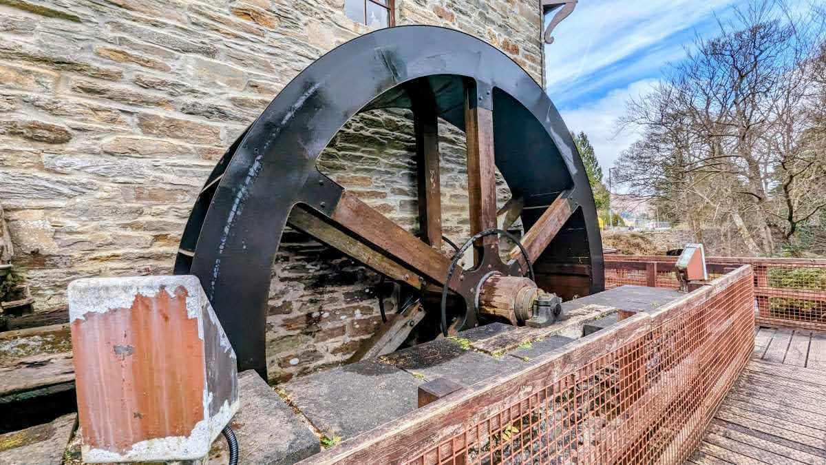
The tall three-storey mill beside the falls dates from around 1840 (built by the Marquis of Breadalbane), the latest in a very long line of mills on this spot — local tradition says the very first was founded by St Fillan himself. Round the back, its iron water wheel still turns, fed by a lade drawn off the river — a lovely thing to catch in motion.
For years the mill was the Breadalbane Folklore Centre; it closed in 2011, and the community brought the building back to life as “The Old Mill” — heritage displays, a makers’ space, the healing stones, and the key to the MacNab island. Its opening can be intermittent, so treat it as “check before you count on it” rather than a guaranteed daily attraction. (The village website, killin.info, is the place to check.)
The Kinnell Estate walk
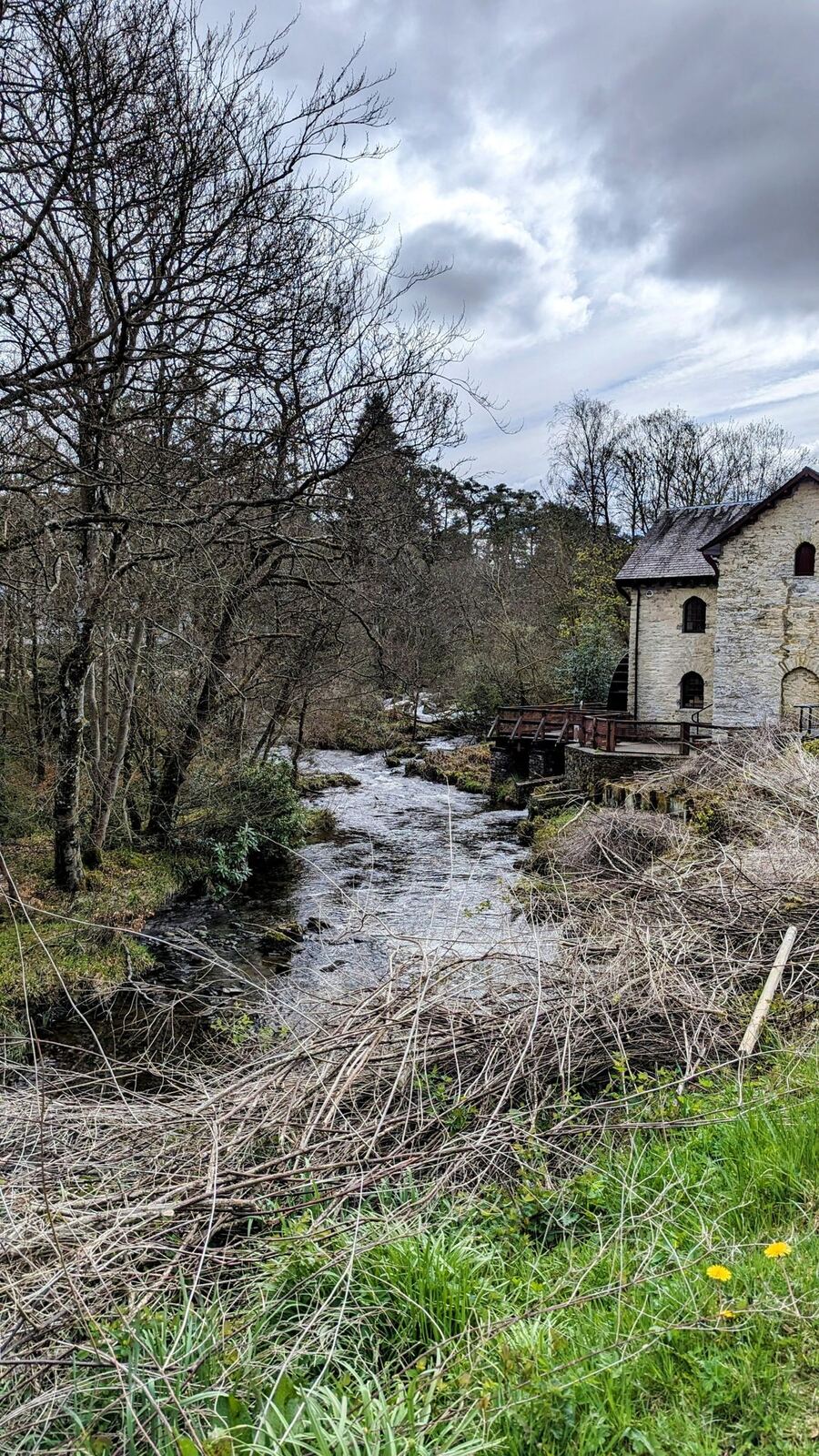
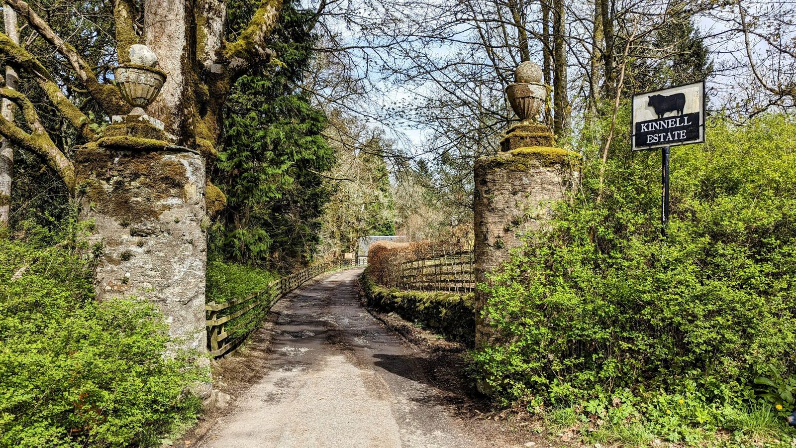
One of our regular strolls from the village leads out toward the Kinnell Estate, the historic seat of the MacNab chiefs (Kinnell House has a core dating to around 1580). It’s an easy, pretty walk on good paths with Loch Tay opening up ahead of you — the “loch edge and back” wander that’s become a habit for us whenever we’re here.
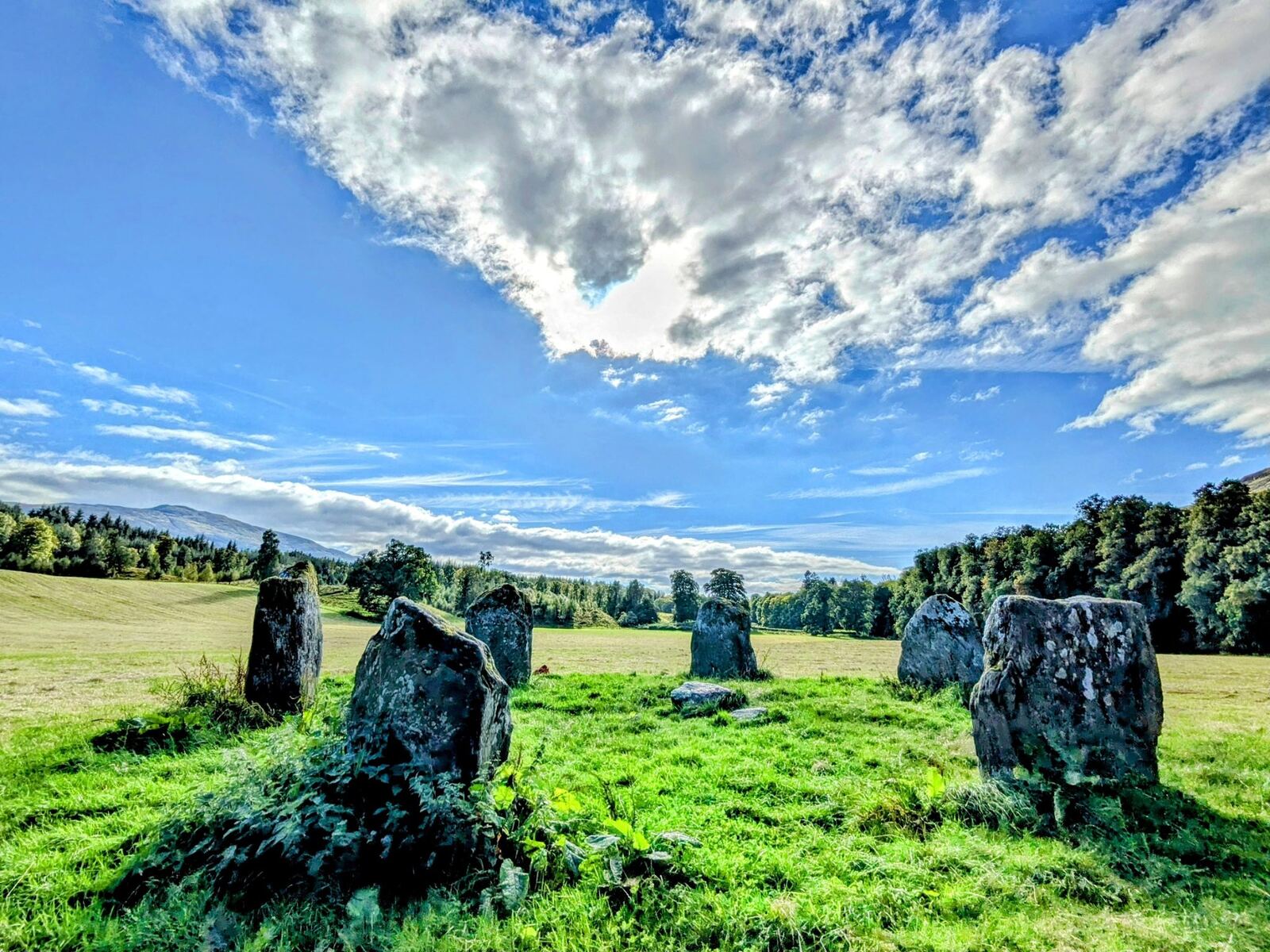
A history note worth knowing: in the estate grounds stands the Kinnell (Killin) Stone Circle — a fine Bronze Age ring of six upright stones of grey schist, thousands of years old and beautifully complete. It’s a genuinely ancient thing, older than the MacNabs, older than Scotland itself. Note that it sits on Kinnell estate land, and in our experience you’re welcome to take a look: there’s a gate at the top — just close it behind you if there’s any livestock in the field — and we’ve walked up a few times without any bother. Treat it gently and leave it exactly as you found it.
Loch Tay, Ben Lawers & the crannog
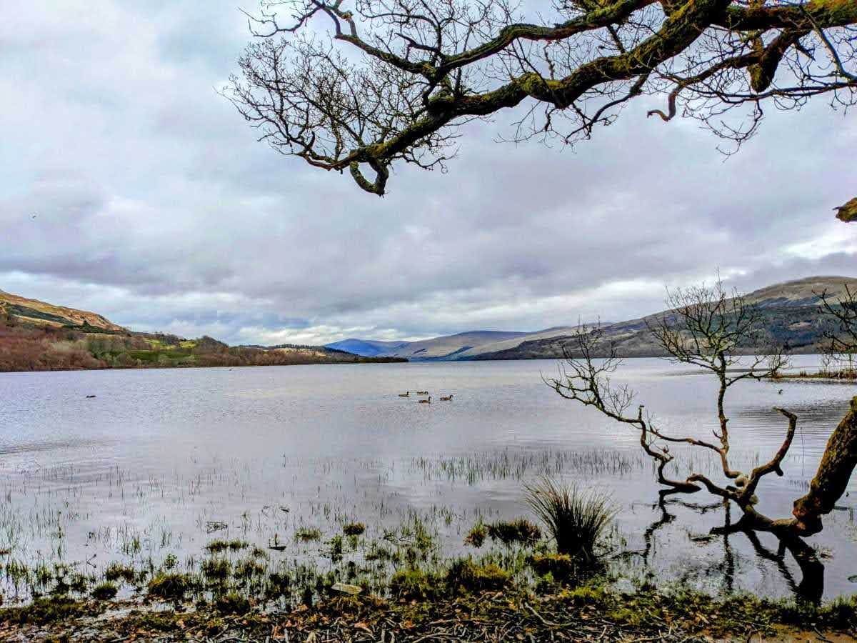
Killin sits at the head of Loch Tay, a 14-mile freshwater loch and Scotland’s sixth-largest. Above its north shore rises Ben Lawers (1,214 m), a National Trust for Scotland nature reserve famous for its rare arctic-alpine flowers, with the narrow Tarmachan ridge to its west.
If you’re interested in how people lived here in the Iron Age, the Scottish Crannog Centre rebuilds a loch-dwelling on stilts. Important, because it’s changed: the original reconstruction near Kenmore was destroyed by fire in 2021; the Centre has since relocated to Dalerb, on the north side of the loch, where it reopened in 2024 with a new museum (a new replica crannog has been under construction since). So if you’re heading for it, aim for Dalerb, not Kenmore — and check the latest before you set off.
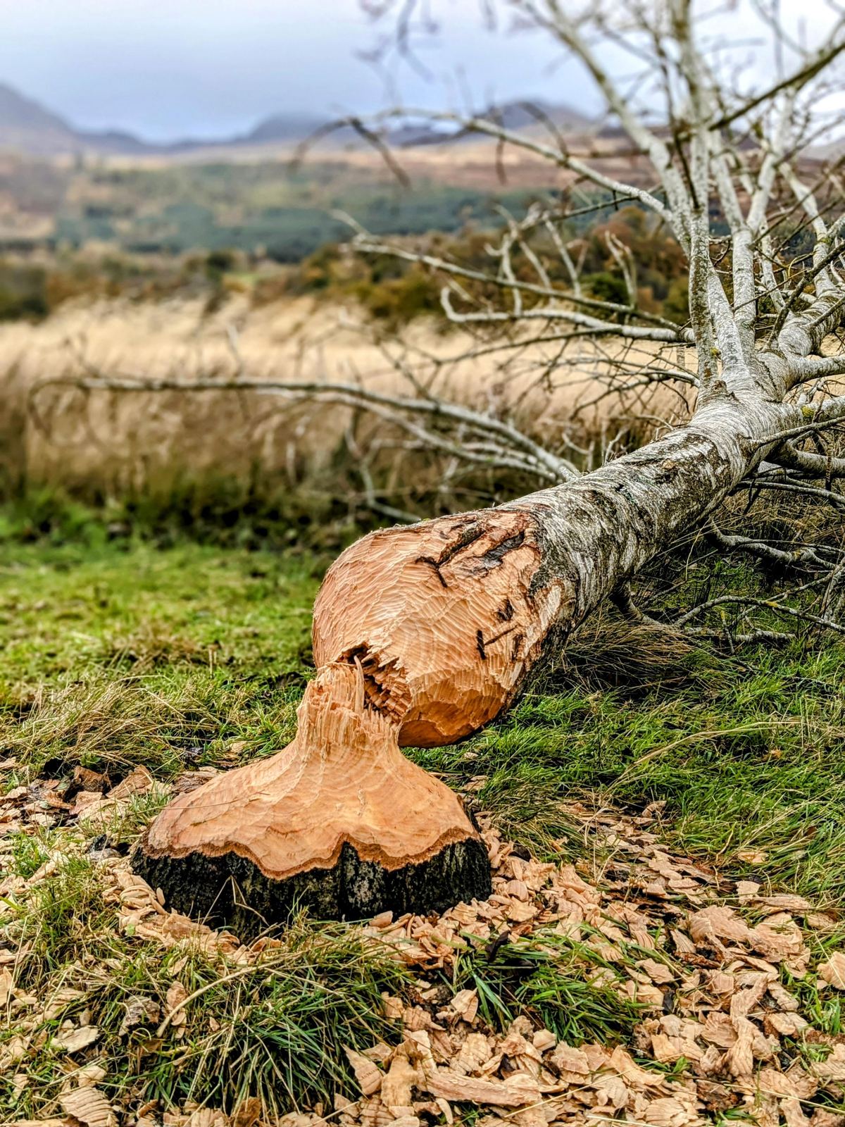
Beavers are back on the Tay. Walk the wooded shores and river mouths around Killin and you’ll start noticing gnawed, pencil-pointed stumps and felled birches — the unmistakable work of Eurasian beavers. Hunted out of Britain some 400 years ago, they re-established themselves in the wild on the River Tay catchment from the early 2000s, and have been a protected species in Scotland since 2019. The Tay now holds the country’s largest beaver population, and Loch Tay with its feeder rivers — the Dochart and the Lochay — sits right in the heart of their territory. Keep an eye on the treeline and you’ll spot the signs everywhere.
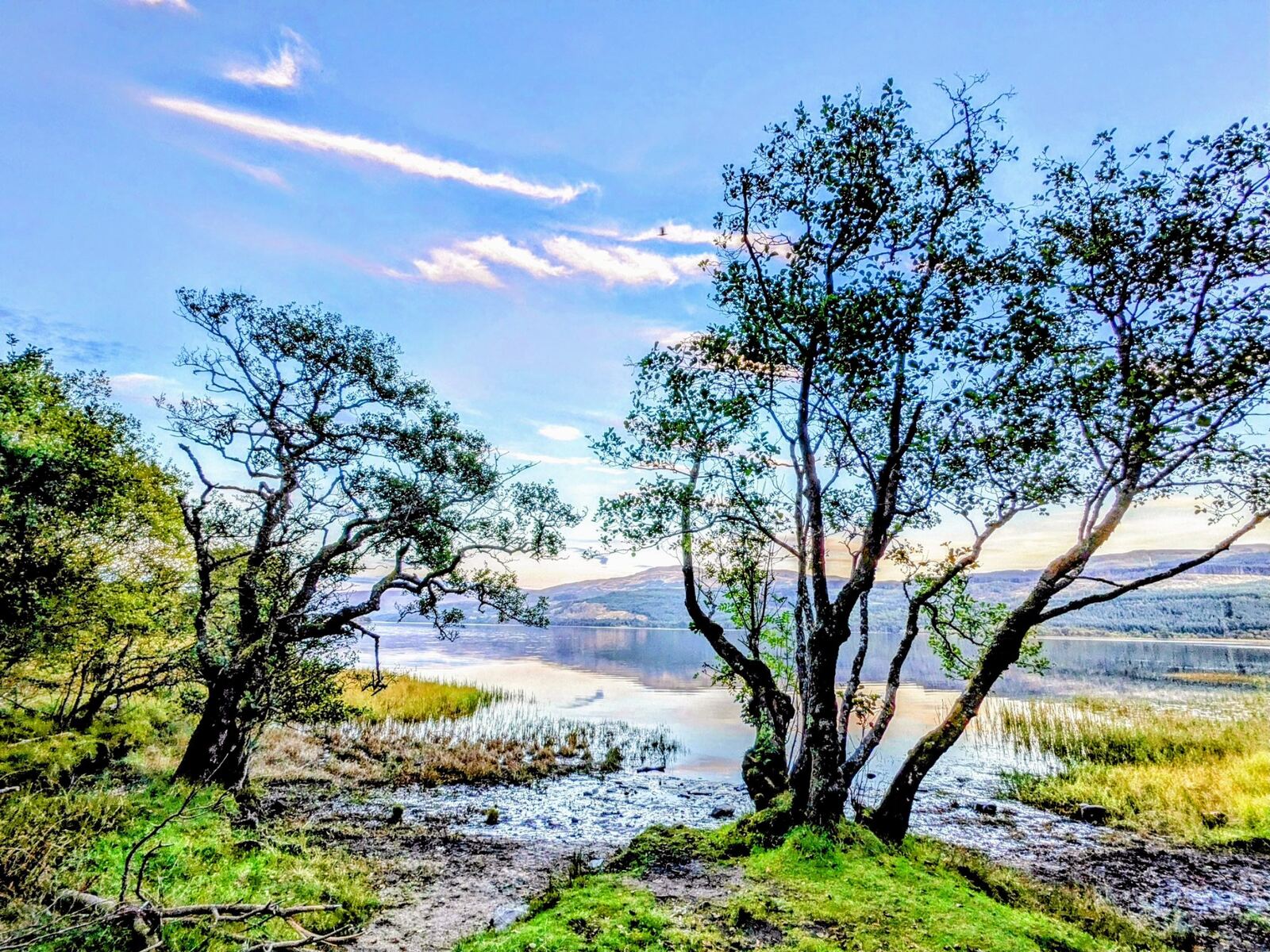
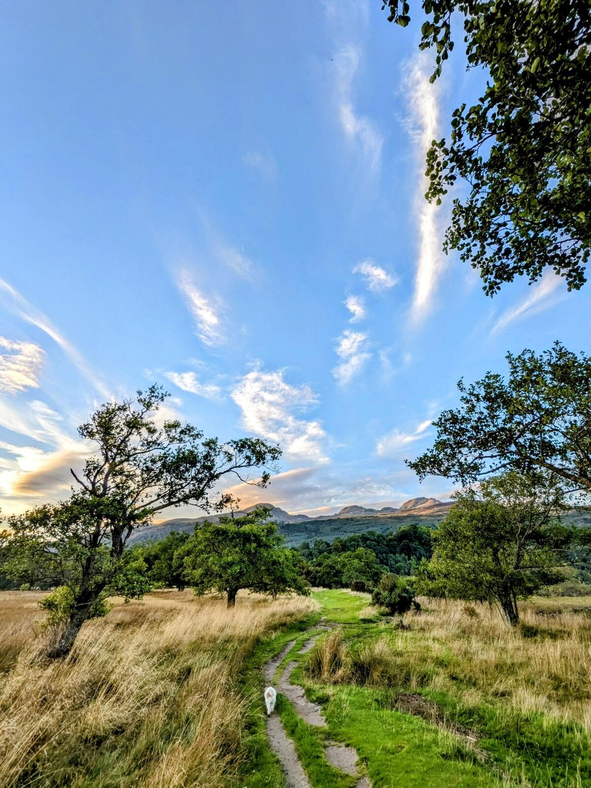
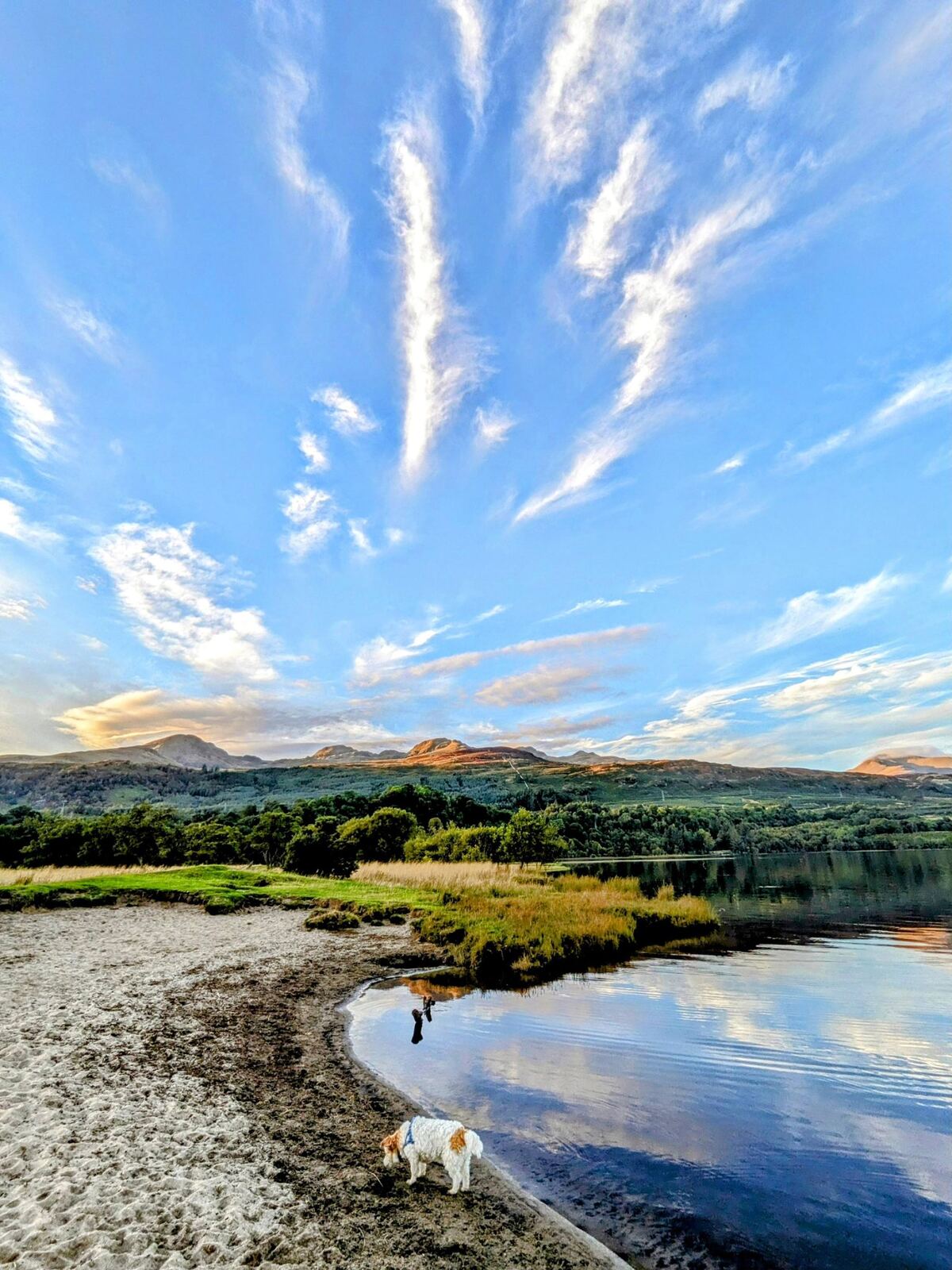
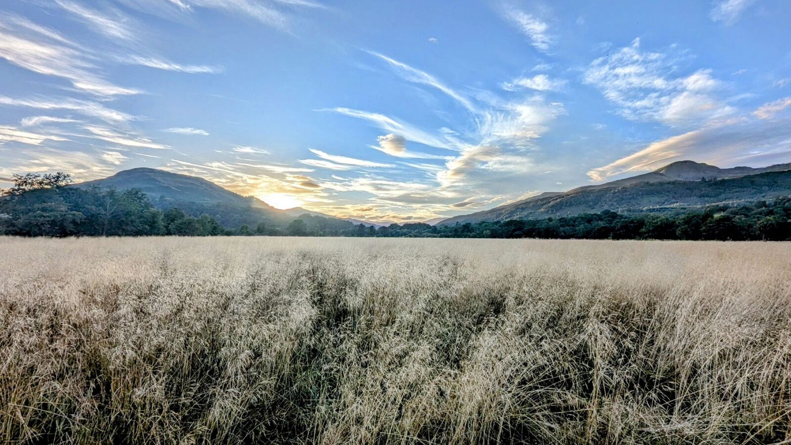
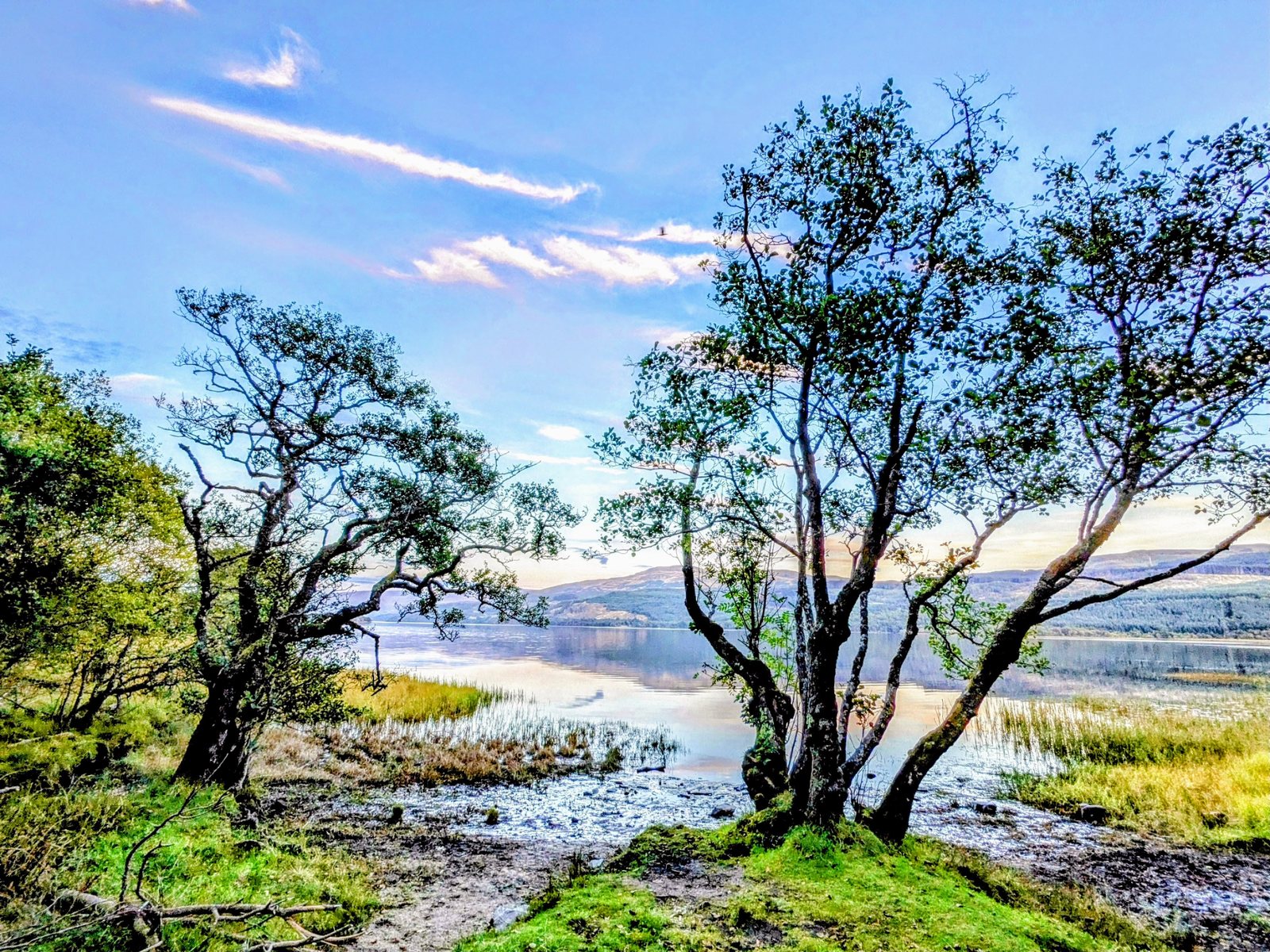
The head of the loch throws up some of our favourite light of the whole tour — still water, birch trees on the shore, and sunsets that set the hills on fire.
Killin’s deeper history — St Fillan’s kirk & the age of steam
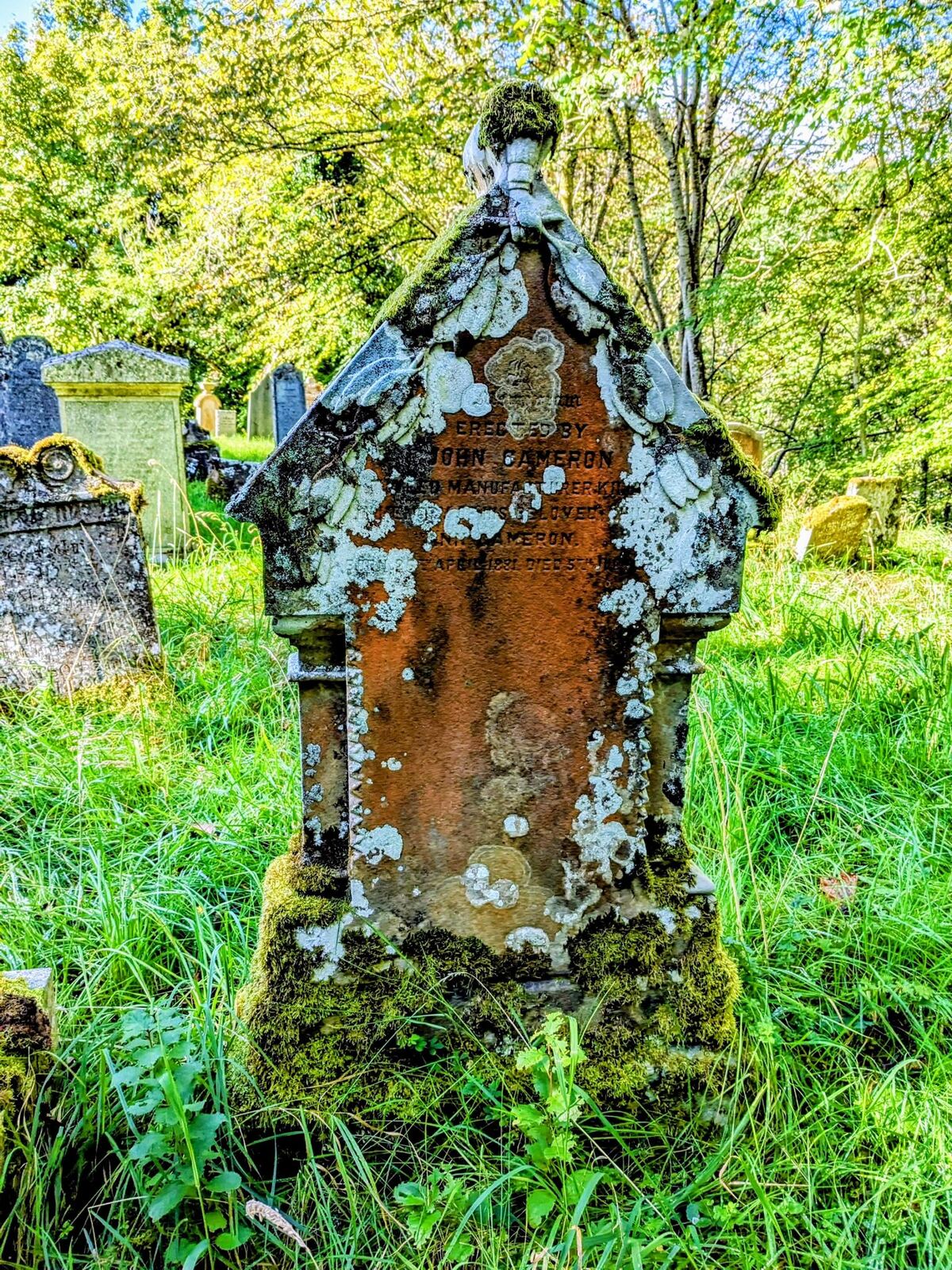
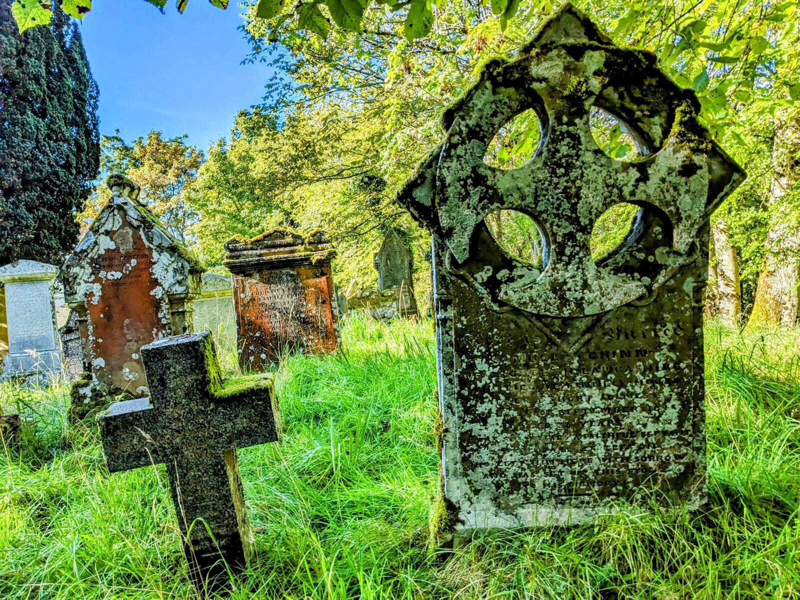
For all the natural drama, Killin is layered thick with human history. The old parish church and its kirkyard hold weathered table-stones and Celtic crosses going back centuries — the parish is bound up with St Fillan, the 8th-century saint whose healing stones the village still keeps. It’s a quiet, atmospheric spot to wander among the lichened memorials.
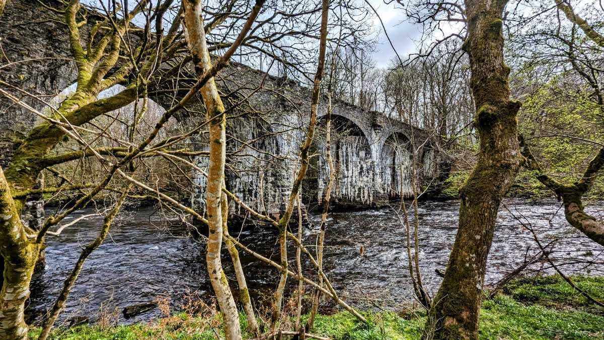
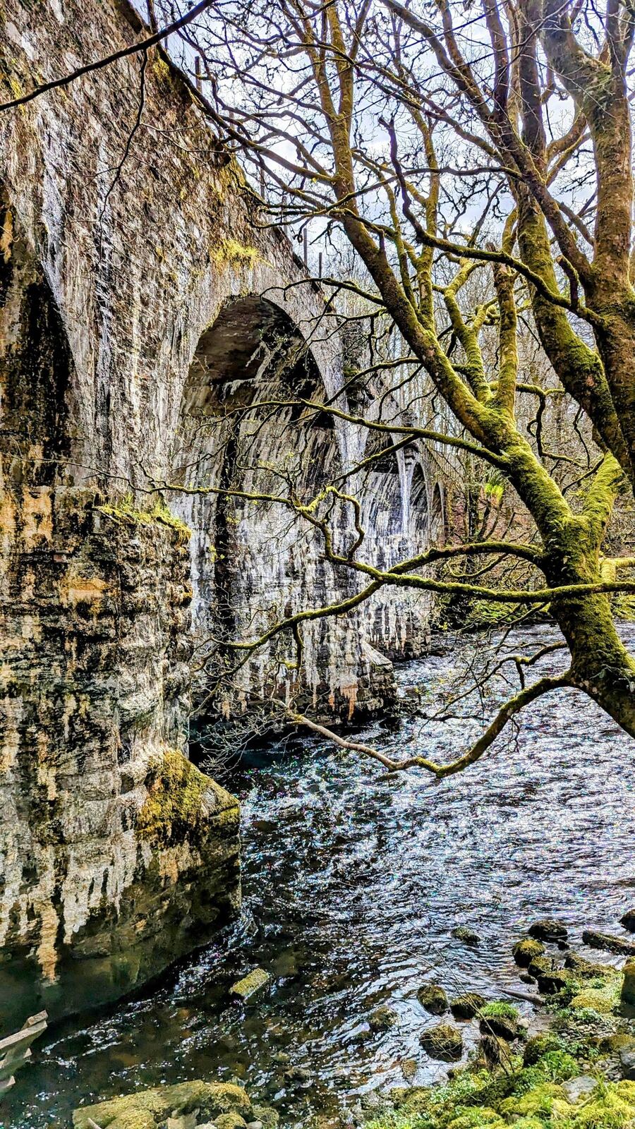
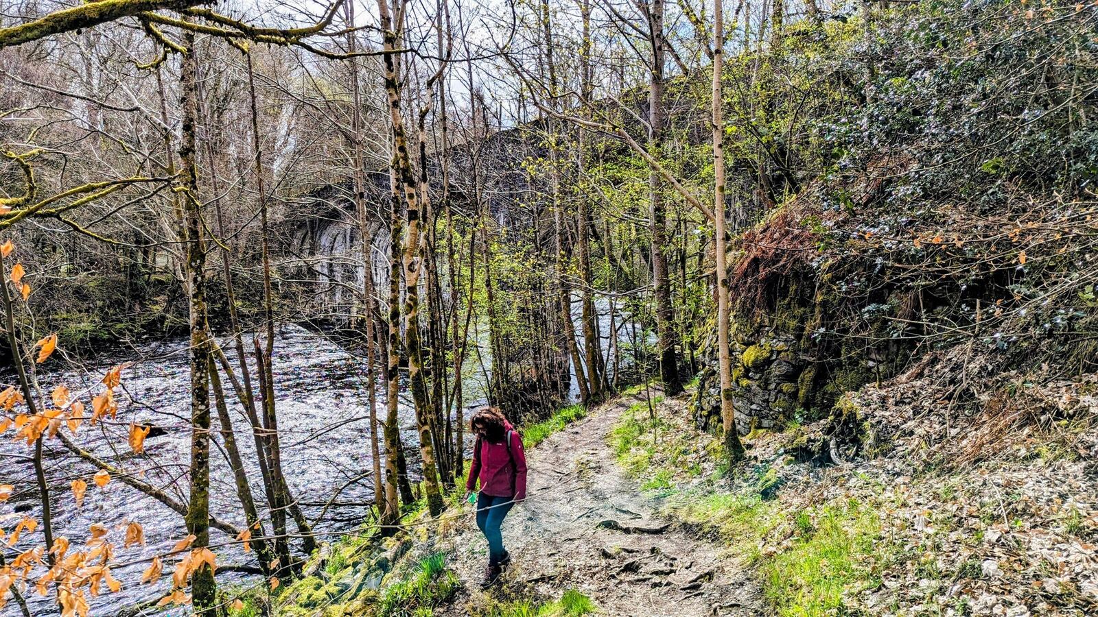
Then came the railway. The Killin branch line opened in 1886, dropping down from Killin Junction on the Callander & Oban main line, over the five-arched Dochart Viaduct, to the village and on to a pier at Loch Tay station. For nearly 80 years it carried Victorian tourists and Breadalbane goods — until a rockfall in Glen Ogle severed the main line in September 1965 and the branch closed for good. Its trackbed is now the traffic-free walking-and-cycling path you can still follow up Glen Ogle today (and part of the Rob Roy Way).
Finlarig Castle
Just north of the village, above the head of the loch, stand the ivy-hung ruins of Finlarig Castle — a Campbell (Breadalbane) stronghold built around 1621–29 by “Black” Duncan Campbell of Glenorchy, one of the most feared lairds of his day. Finlarig’s dark claim to fame is its “beheading pit,” a stone-lined pit outside the walls where, tradition says, nobles were executed (commoners, the story goes, were hanged from a nearby oak). (Historians note the pit may just as likely have been a water tank — but the beheading legend is the one everybody tells.) The ruin is unstable and roofless — look, but take care and keep the dog and kids close.
The mega bike ride — Killin to Kenmore along Loch Tay
Here’s the big one. From Killin you can ride the full length of Loch Tay to Kenmore and back — a ~60 km round trip — on the quiet south-shore road (National Cycle Network Route 7), which is far calmer than the busy A827 on the north side. The full 60 km is an out-and-back on that same quiet road — you could loop right around the loch and come home on the A827 if you liked, but we much prefer the near-traffic-free south side in both directions. It undulates the whole way (our ride logged around 450 m of climbing), with Ben Lawers across the water for company and Kenmore’s pretty square at the turnaround. It’s a proper day’s ride and one of the best in Breadalbane.
Walking — the Rob Roy Way & the old railway
Killin is a stage town on the Rob Roy Way (the 79-mile Drymen–Pitlochry route), which arrives dramatically down Glen Ogle. That Glen Ogle path is the old Killin branch railway, which ran from 1886 until a rockfall closed the line in 1965 — its trackbed now makes a superb traffic-free walking and cycling route up to Killin Junction, crossing the old Dochart Viaduct on the way.
Practical — parking, toilets, tea & a good dinner
This is a big part of why we keep coming back: Killin is genuinely easy.
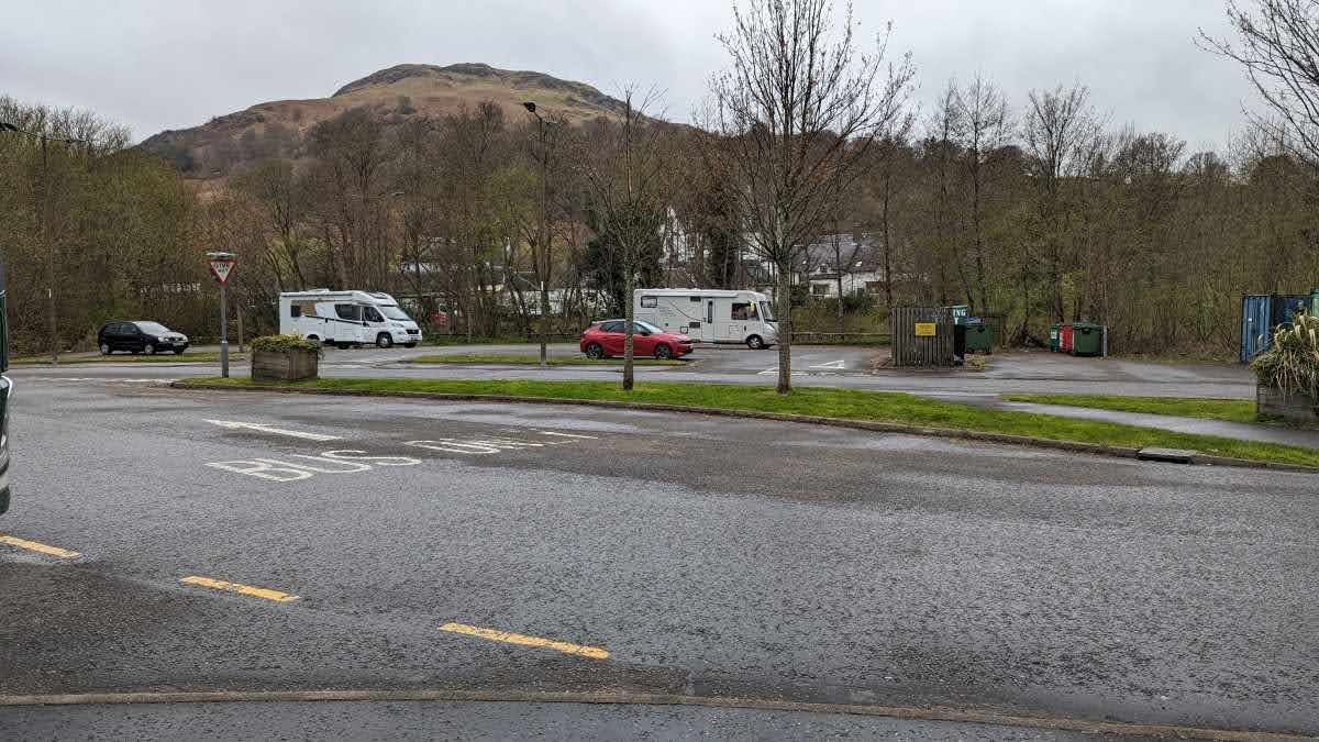
- 🅿️ Parking — free. There’s a small car park at the back of the town where we leave the campers for nothing, and the walking paths start right there.
- 🚻 Toilets — free, right by the parking.
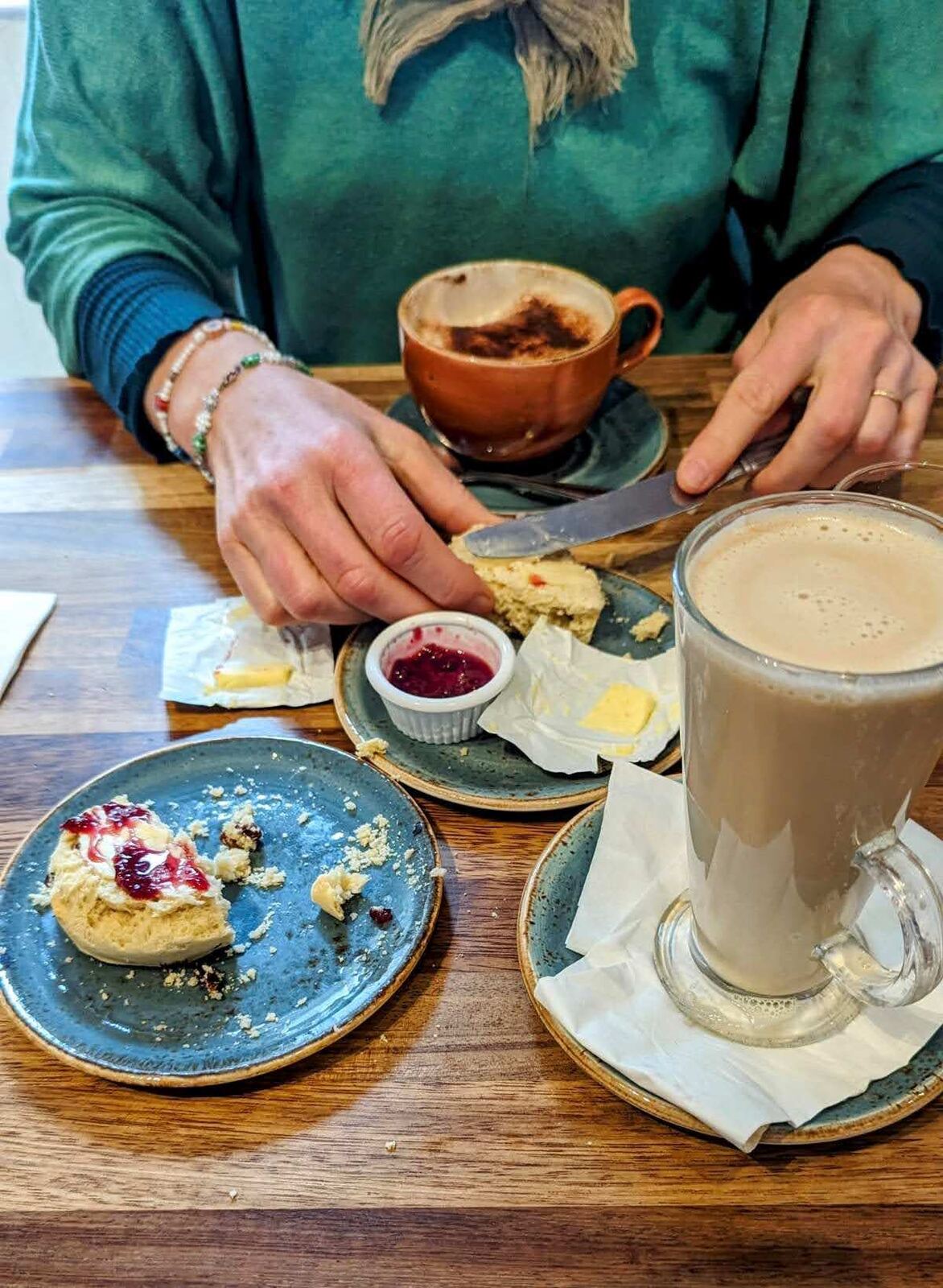
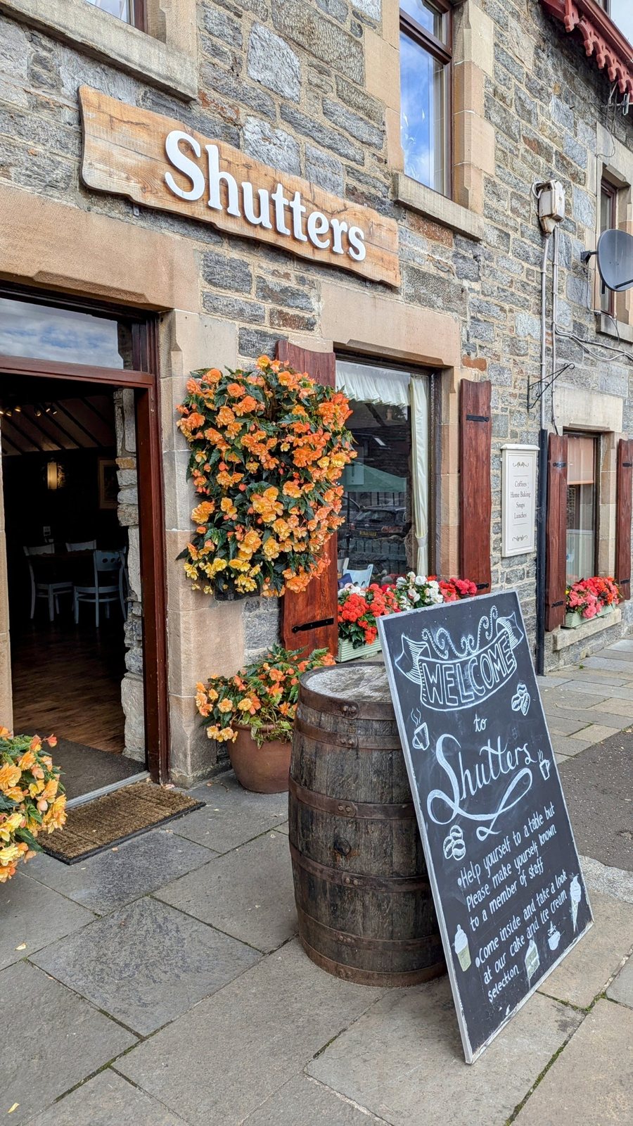
- ☕ The Shutter Coffee Shop — our pick in the village for lovely coffee and cakes; there are other good tea rooms in the centre too (great scones — we can vouch).
- 🏨 The hotel — there’s a lovely hotel here that does very nice food; a proper sit-down dinner after a day on the bike or the hill.
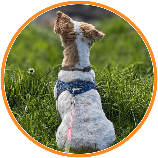
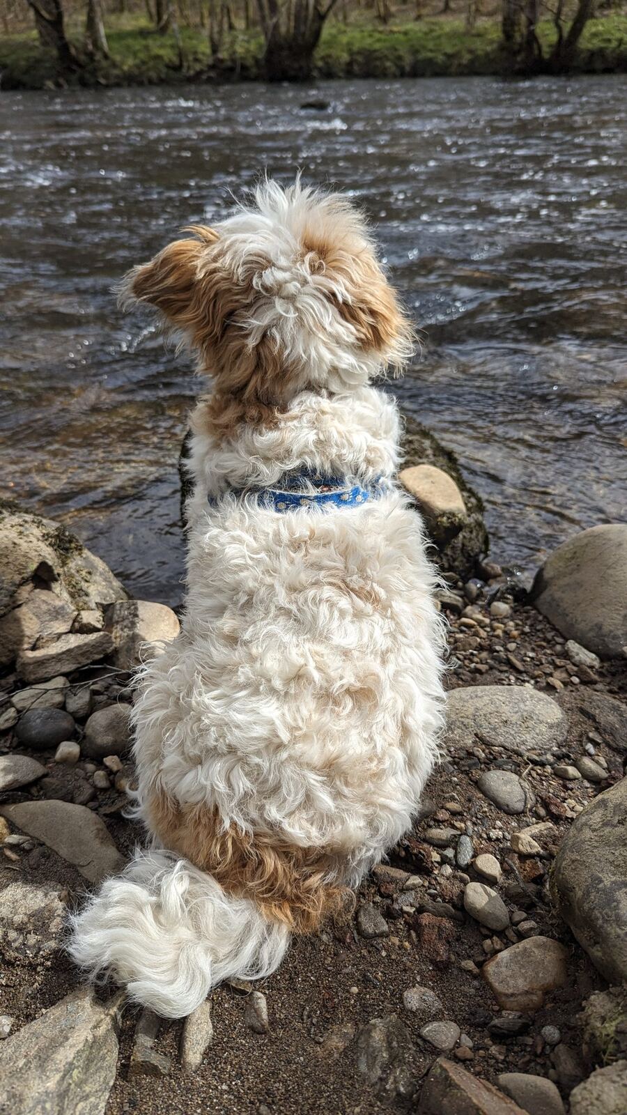
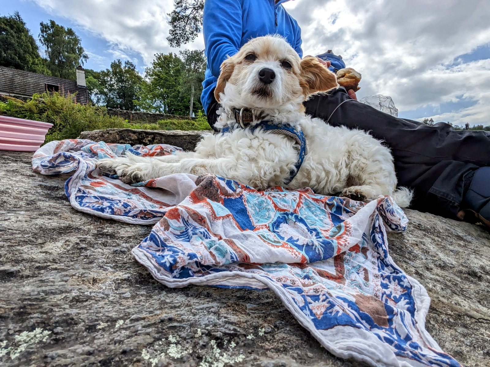
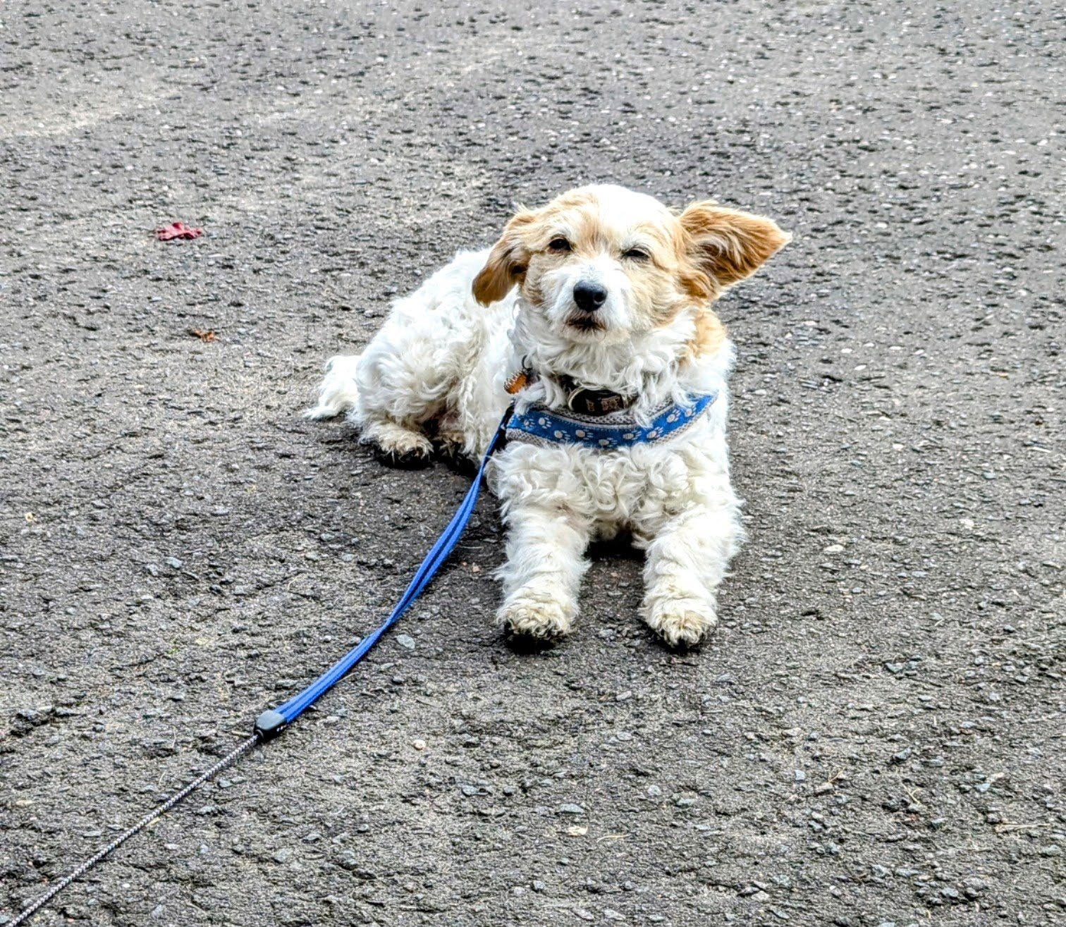
- 🐕 Dogs — Lillie-approved: riverside and loch paths on the doorstep. Keep dogs close by the falls (fast water) and near any livestock on the estate walks.
Watch: Killin


Insta360 X6 360° Action Camera
Every clip on this page is filmed on our Insta360 X6 — the wee 360° camera we use for all our videos, and honestly the easiest bit of kit we own. You switch it on, clip it to a pole or the handlebars, and it films everything around you at once; back home you just drag the frame to whatever looked best, so you never miss a moment fiddling with angles. Waterproof, pocket-sized and genuinely idiot-proof — ideal for filming the Falls of Dochart with a dog lead in the other hand.
Check price on Amazon
A late-summer wander — Killin in colour
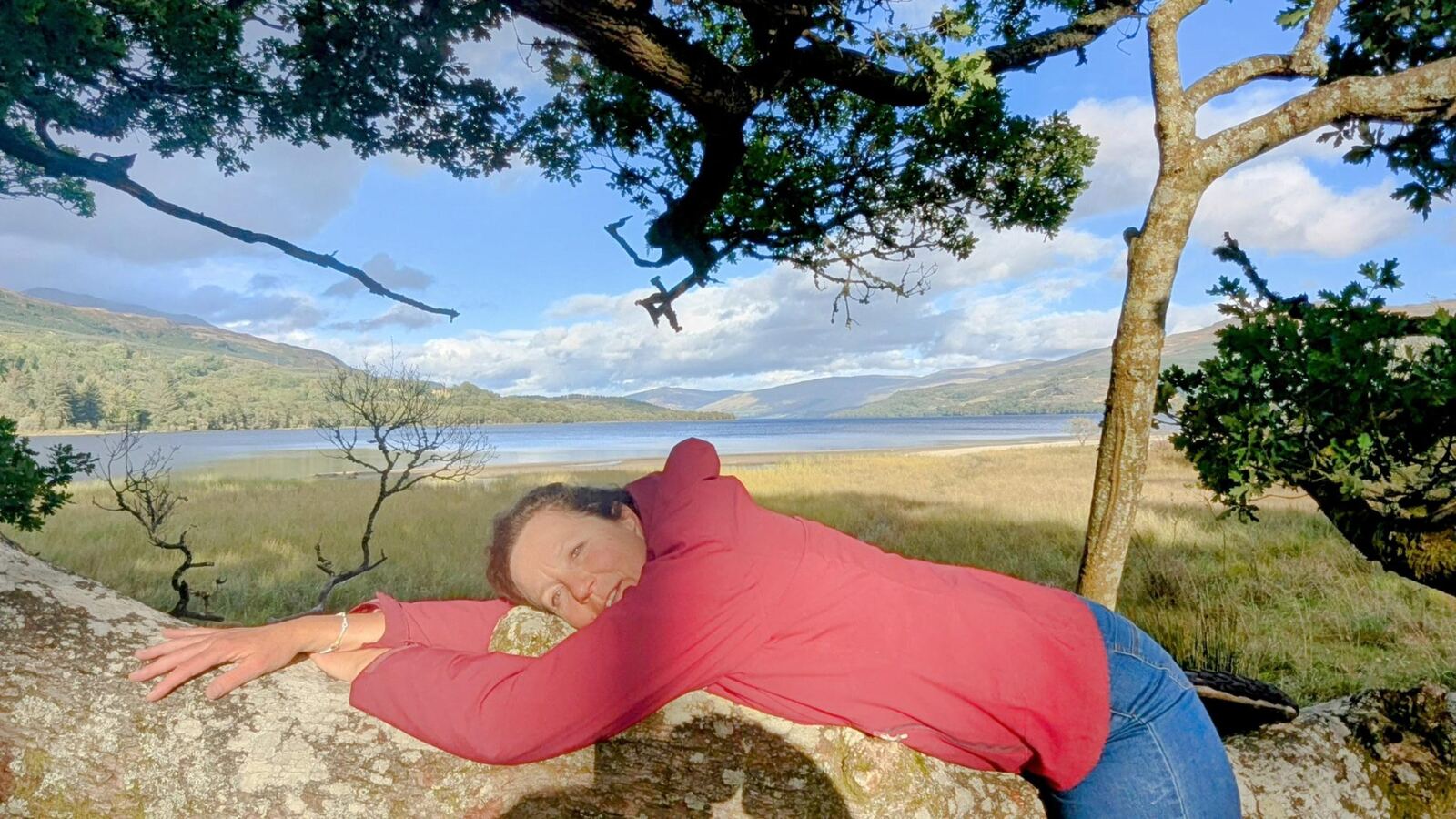
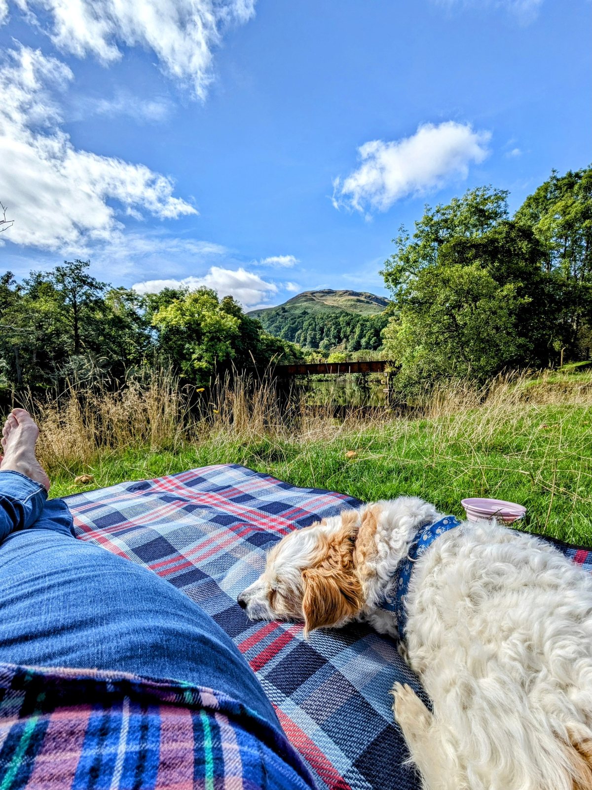
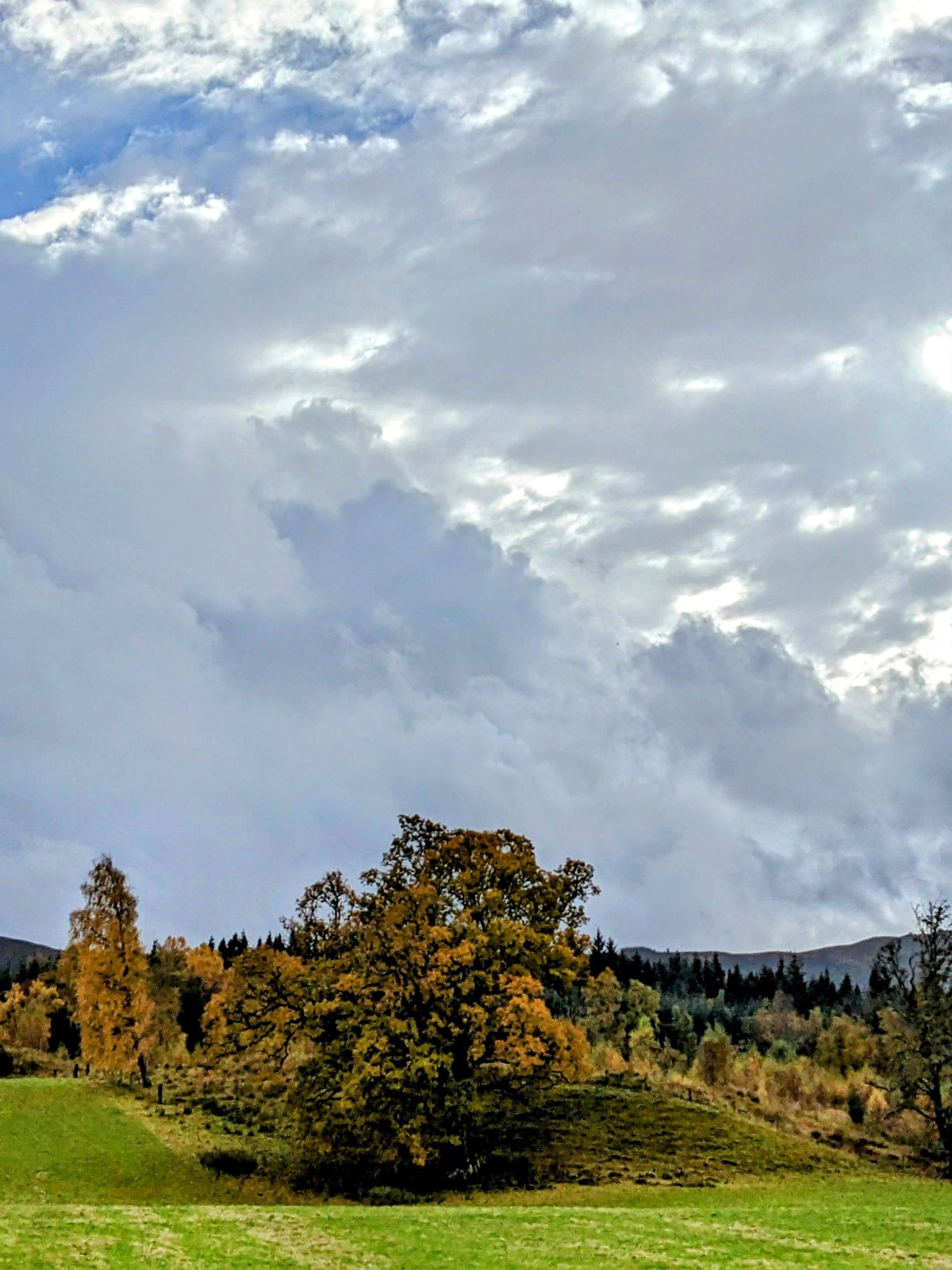
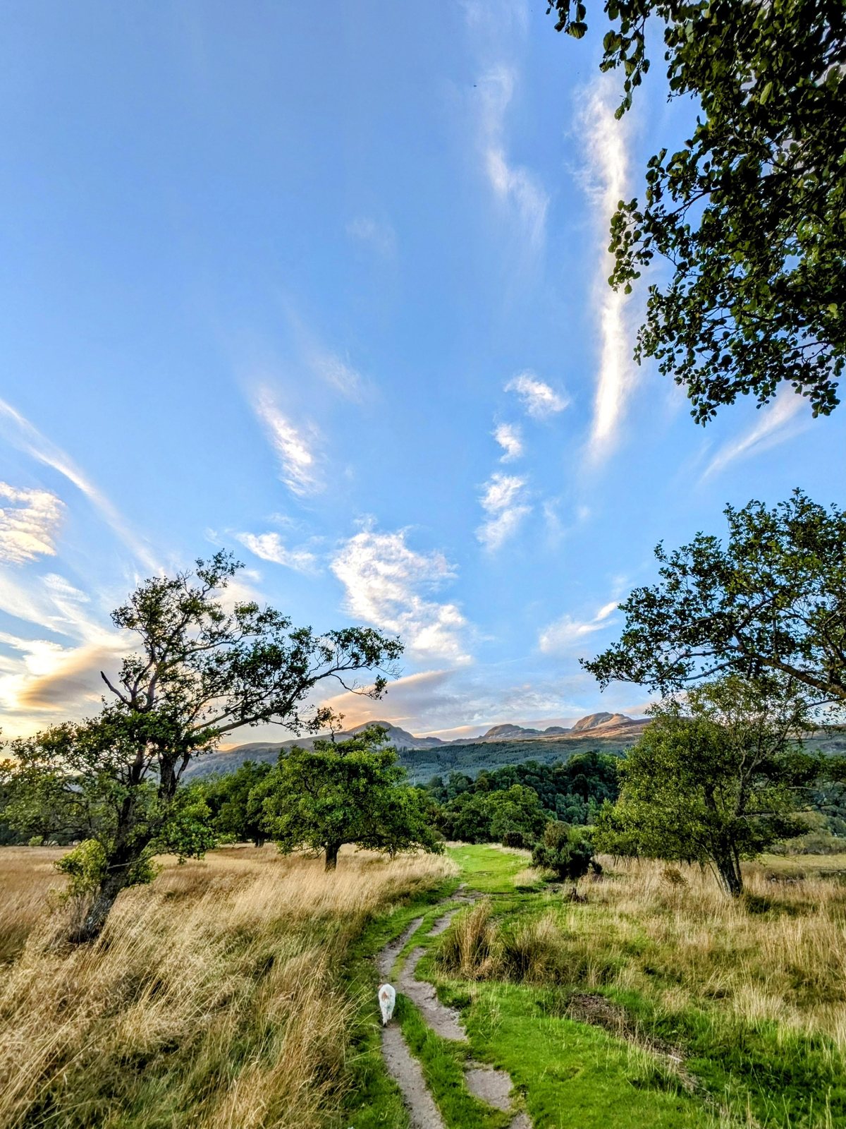
A few favourites from a golden late-August visit — the village and its coffee shop, Lillie in her element, the standing stones, the gorgeous trees, and Loch Tay at its most beautiful.
Nearby — combine it with
- Loch Lomond — south and west of Killin via Crianlarich; the natural pairing on a Trossachs-to-Breadalbane loop.
- Oban — carry on west through Glen Dochart and Crianlarich for the seafood capital of the west coast.
- Callander & the Trossachs — on the Rob Roy Way south of here, the gateway to the Trossachs.
- Clan country: Killin is the heart of Clan MacNab, with Clan Campbell (Breadalbane) at Finlarig and Clan MacGregor in the glens to the south. See our Scottish Clans collection.
- Dalrigh — the Lost Sword lochan up Strath Fillan, where Bruce lost the Brooch of Lorn.
Reality notes
- 🅿️ Parking / campers: free car park at the back of the village; level and handy for the paths. (Confirm current overnight rules if you plan to stay — village car parks can change.)
- 🌊 The falls: powerful, fast water over slippery rock — enjoy from the bridge and banks; don’t scramble out onto the wet rocks, and keep hold of children and dogs.
- 🏚️ Finlarig Castle: unstable roofless ruin — view with care.
- 🗿 Kinnell stone circle: on private land, no public access — don’t go looking to reach it.
- 🏛️ The Old Mill / healing stones & the Crannog Centre: both have changed or variable opening — check current status (killin.info) before relying on either.
- 🚲 The Loch Tay ride: the south-shore road is quiet but not fully traffic-free and it’s undulating — a real ride, not a flat cycle path.
- 🐕 Dogs: brilliant, but mind the fast water at the falls and livestock on the estate.
Why the bigger pack suits a Killin base
Killin is a place people base themselves at rather than pass through — the Falls, Loch Tay, the Tarmachan ridge and the Glen Lochay road all run off from it. An 80-litre bag is not a day pack; it is what you live out of for a few days when the car or the van is the boot room and you are moving kit between it and wherever you are staying.
☔ Killin sits where the glens meet, which makes for grand scenery and generous rain — most days of the week from September to June. The Falls of Dochart glittering in the morning sun tell you nothing about the afternoon; the cloud comes down the Tay side fast. Locals set off with a daypack carrying a lightweight waterproof, sometimes trousers, and a small umbrella. Do the same on the bike or the hill and the weather stays a footnote.
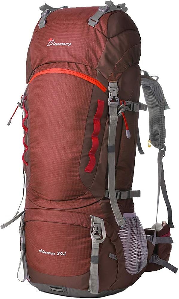
MOUNTAINTOP 80L Waterproof Rucksack
A base-camp bag rather than a day bag: eighty litres, a proper internal frame and a built-in rain cover, for the kind of trip where the van is the wardrobe and Killin is the front door to four different glens.
Check price on Amazon