Callander: Gateway to the Trossachs — Rides, Walks & a Ring of Lochs
Overview — a walkers’ and cyclists’ town
Callander is the eastern gateway to the Trossachs, sitting on the River Teith right where the Lowlands meet the Highlands (the Highland Boundary Fault runs through the crags above the town). For us it’s a rides-and-walks place first and foremost: it’s ringed by lochs, threaded by a traffic-free old-railway cycle path, and surrounded by hills, falls and forest — with a proper little town in the middle for tea and supplies.
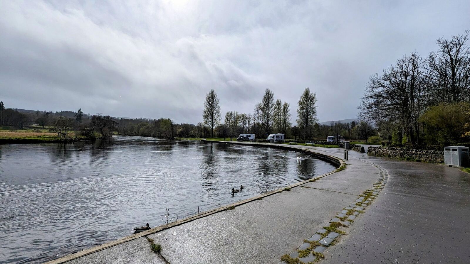
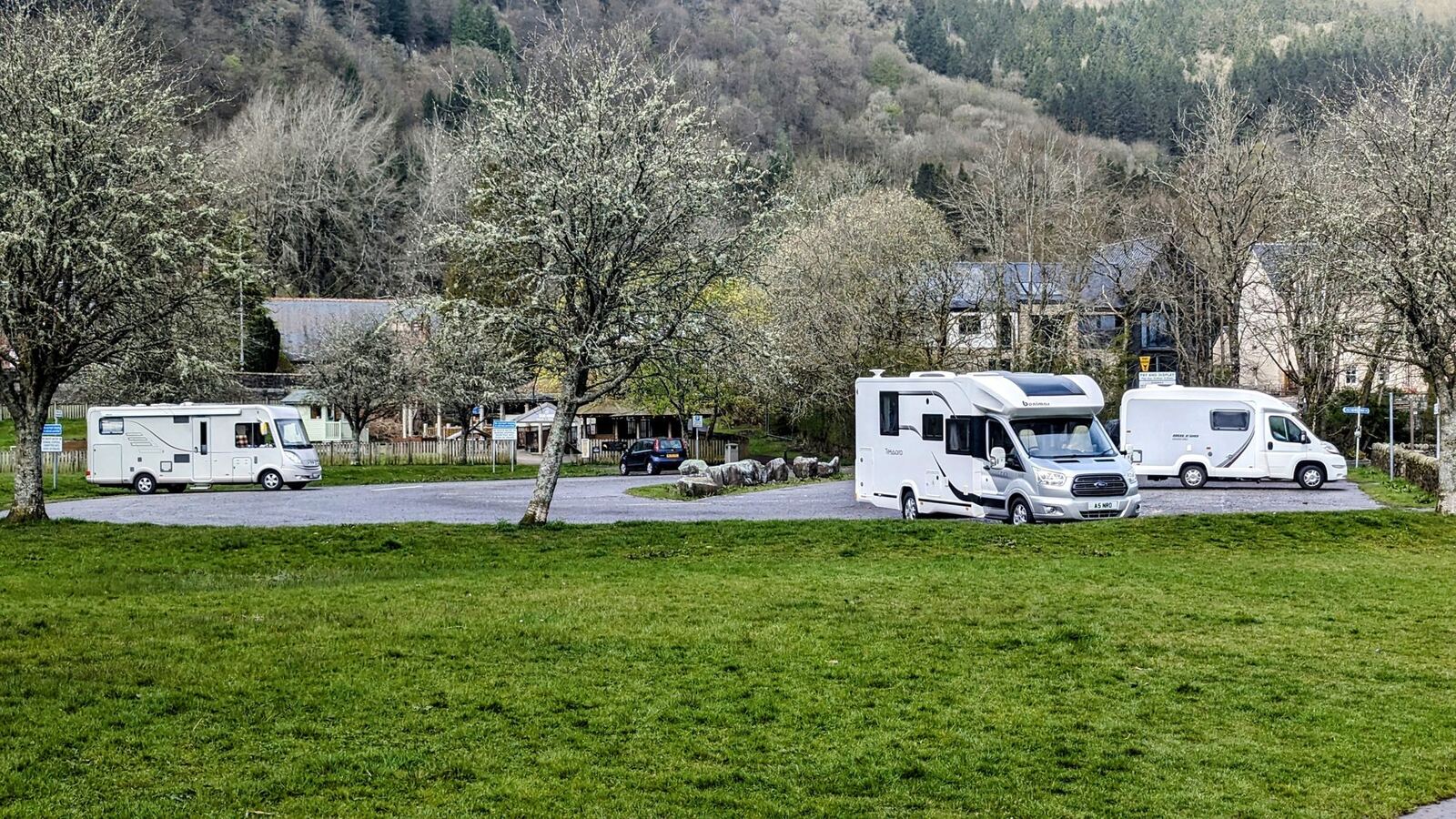
We’ve stayed here a few times — though not in Callander itself. We pitch up a mile down the road in the next village (out toward Kilmahog), where it’s free, quiet, and a lovely walk into town along the river. That walk in, past the water with the hills ahead, is one of our favourite simple pleasures anywhere in Scotland.
Where it is (and where on the route)
Callander sits on the A84 inside the Loch Lomond & The Trossachs National Park, about 14 miles north-west of Stirling. North lies the Pass of Leny and the road up to Loch Lubnaig, Lochearnhead and Killin; west is the heart of the Trossachs — Loch Venachar, Loch Achray and Loch Katrine. It’s a natural hub for a few days of pedalling and walking.
Our base — the walk into town
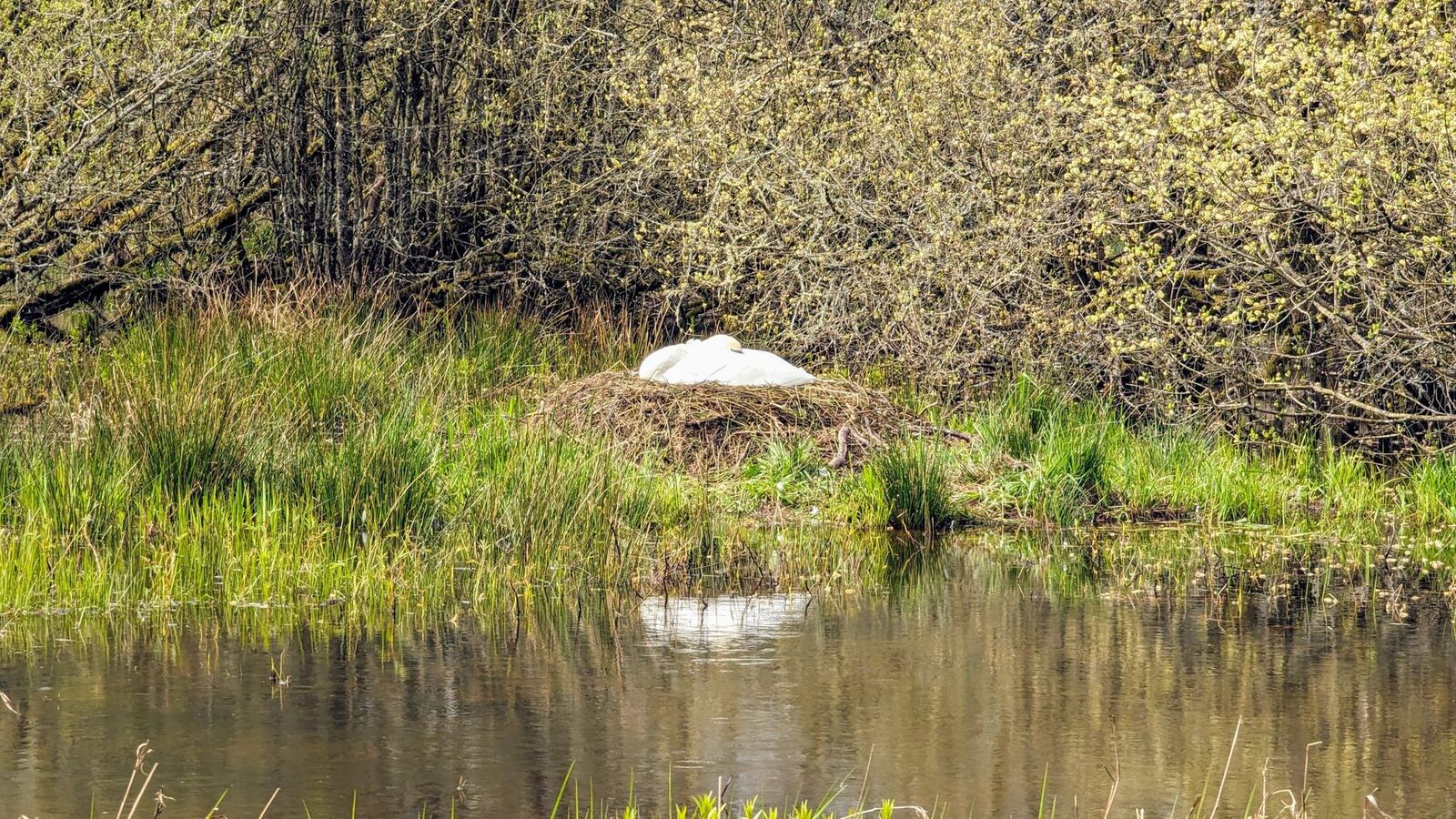
This is the bit we love. We stay in the small car park at Kilmahog, just west of Callander — free, quiet, and tucked off the main road. Best of all there’s a footpath that runs direct inland to Callander, away from the traffic, so you can leave the van and walk straight into town for a coffee. It’s flat, easy and gorgeous — hills ahead, the rivers alongside, swans nesting in the reeds in spring — and on the way you pass some real history (see below). The whole route is mapped under the Callander to Kilmahog walk.
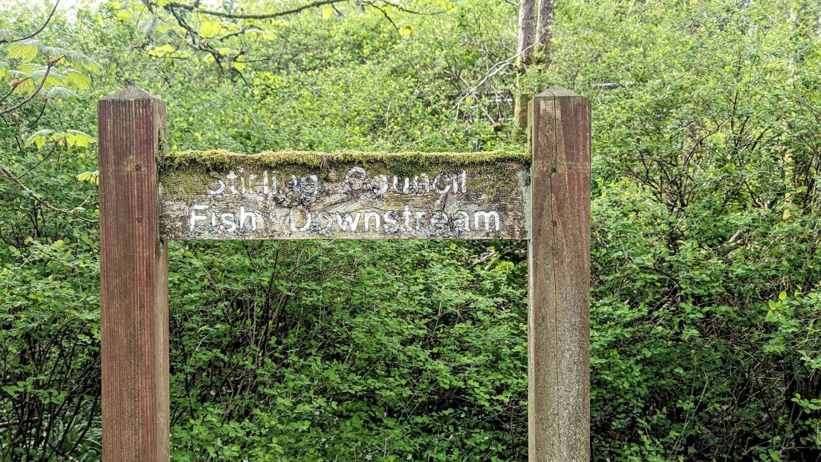
Walks & rides from Kilmahog — right from the door
Kilmahog is one of our very favourite places to bring the bikes — only about 30 minutes from home, dead easy to get to, and with so many rides and places to visit that you could happily spend a week here and still not see it all. It sits at a crossroads of old routes, which is exactly why it makes such a good base: almost everything starts on foot or by bike straight from the car park.
Walks
- Kilmahog to Callander — the flat inland footpath into town past Samson’s Stone and the Bochastle Roman fort (mapped above, ~4.7 km return).
- The Falls of Leny & the Pass of Leny — north along the old railway path, waterfalls crashing through a wooded gorge.
- Bochastle Hill, Dunmore fort & Samson’s Stone — a short sharp climb for a big view over Callander, Loch Venachar and Ben Ledi.
- Loch Lubnaig shore — carry on past the Falls of Leny to the loch and walk its wooded eastern side.
- Ben Ledi (879 m) — the big hill above Kilmahog, usually climbed from the Stank Glen for the finest viewpoint around.
Rides (all traffic-free or quiet)
- North on NCN7 to Killin — the old Callander & Oban railway up Loch Lubnaig, Strathyre and Glen Ogle (the ~67 km epic, mapped below).
- The Trossachs lochs loop — west over the Duke’s Pass by Loch Achray, Loch Katrine and Aberfoyle (the 46 km loop, mapped below).
- South to Doune & Dunblane — NCN7 the other way, an easy run down to historic Doune.
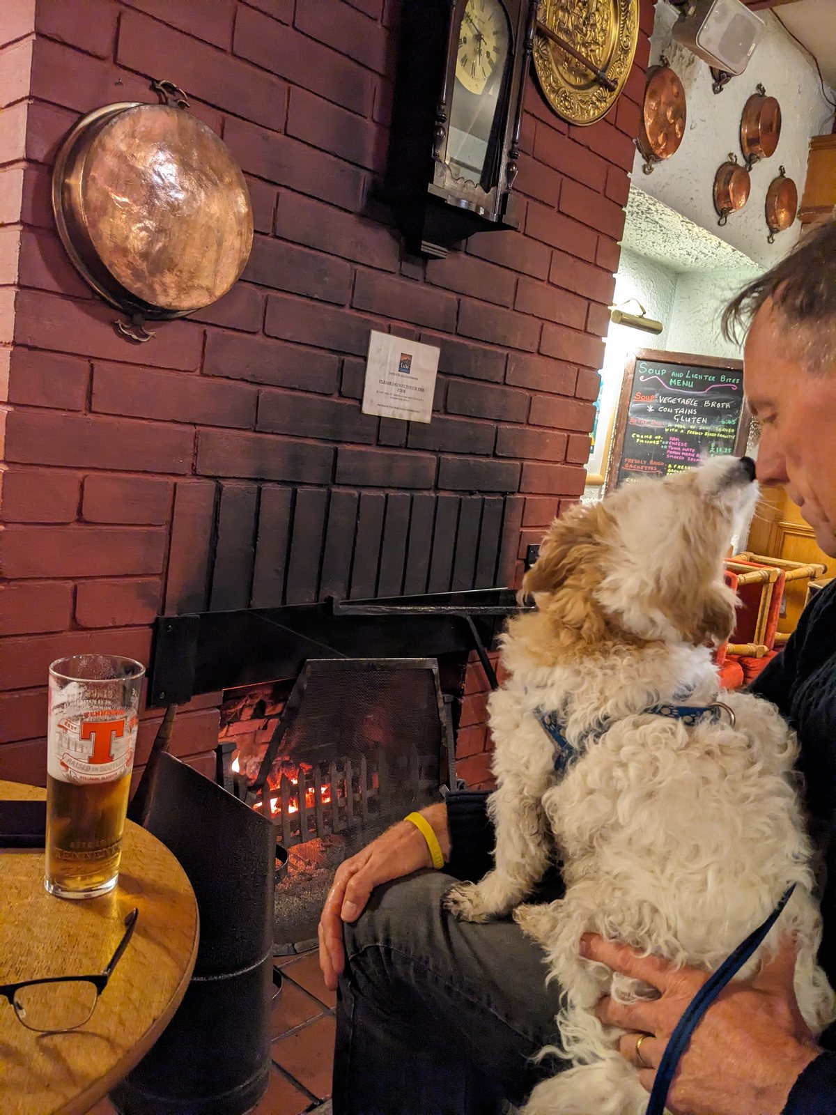
And when you’re done for the day, there’s an inn right at Kilmahog (the Lade Inn) for a beer and a bite — or it’s just 2 km into Callander for great coffee and the shops. Free to park, quiet, and walks and rides in every direction: it’s hard to beat.
The town — Main Street, tea & a good shoe shop
Callander grew up as a Victorian holiday town and still wears it well: one long, wide Main Street with everything you need. It even had a spell as a TV star — it was the on-screen “Tannochbrae” in the BBC’s Dr Finlay’s Casebook (1962–71), and the bridge over the Teith featured in the titles.
Two things Kevin always flags here:
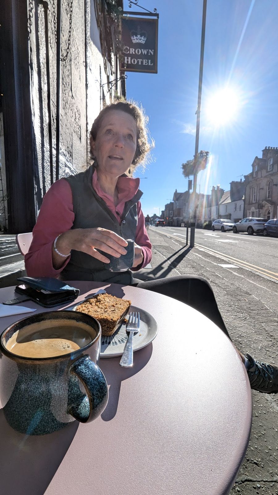
- A proper tea room. The town’s long-running Mhor Bread on Main Street has been a bakery on the same spot for over a hundred years (it was “The Scotch Oven”) — good bread, good cakes, exactly what you want off the hill. (There are several good cafés on Main Street — tell me which is your regular and I’ll name it.)
- A good old-fashioned shoe shop. Main Street has a genuine shoe shop (Rogerson’s, a Scottish firm going back to 1905) — the kind of place that’s vanished from most towns. (Confirm this is the one you mean.)
Walks around Callander
You’re spoilt here, and most walks start in or near the town:
- Callander Crags — a ~4 km woodland circuit up onto the crag ridge above town, from the free car park on Bracklinn Road. The reward is a big view over Callander, Loch Venachar and Ben Ledi from the Queen’s Jubilee Cairn (built 1897, restored 2012).
- Bracklinn Falls — the Keltie Water crashing through a gorge on the Highland Boundary Fault, NE of town (free car park on Bracklinn Road). A history note: the footbridge here has had a hard time — the original was washed away in the 2004 floods, a celebrated timber bridge followed in 2010, and a new bridge opened in 2023.
- The Falls of Leny & the Pass of Leny — waterfalls on the River Leny in a narrow wooded pass just NW of town, reached along the old railway path toward Loch Lubnaig.
- Ben Ledi (879 m) — the big hill that presides over Callander, and the finest viewpoint in the area for those with the legs for it.
The Callander to Kilmahog walk
The classic easy one, and the walk we do most from our base: from Callander out to the wee hamlet of Kilmahog and back, along the flat, dog-friendly path that follows the old Callander & Oban railway line and the River Leny. It’s about 4.7 km there and back (roughly 2.5 km each way), with the Trossachs hills opening up ahead of you the whole way. Kilmahog itself has the old Trossachs Woollen Mill and the Lade Inn, and from there you can keep going to the Falls of Leny and up the shore of Loch Lubnaig. Here’s our own track.
History on the path. This isn’t just a pretty walk — it runs through one of the most historic little corners of the Trossachs. Off to the side rises Bochastle Hill, and on its summit sits Samson’s Stone (Samson’s Putting Stone) — a huge glacial erratic boulder that legend says was thrown here in a putting contest between giants, won by Samson, who lived on Ben Ledi. Below it lie the earthworks of the Bochastle Roman fort, a frontier base built around AD 80 as the Romans pushed into the Highland edge, and the Iron-Age Dunmore hillfort on the crag above — the native stronghold the Romans had come to overawe. Two thousand years of history, right beside the path.
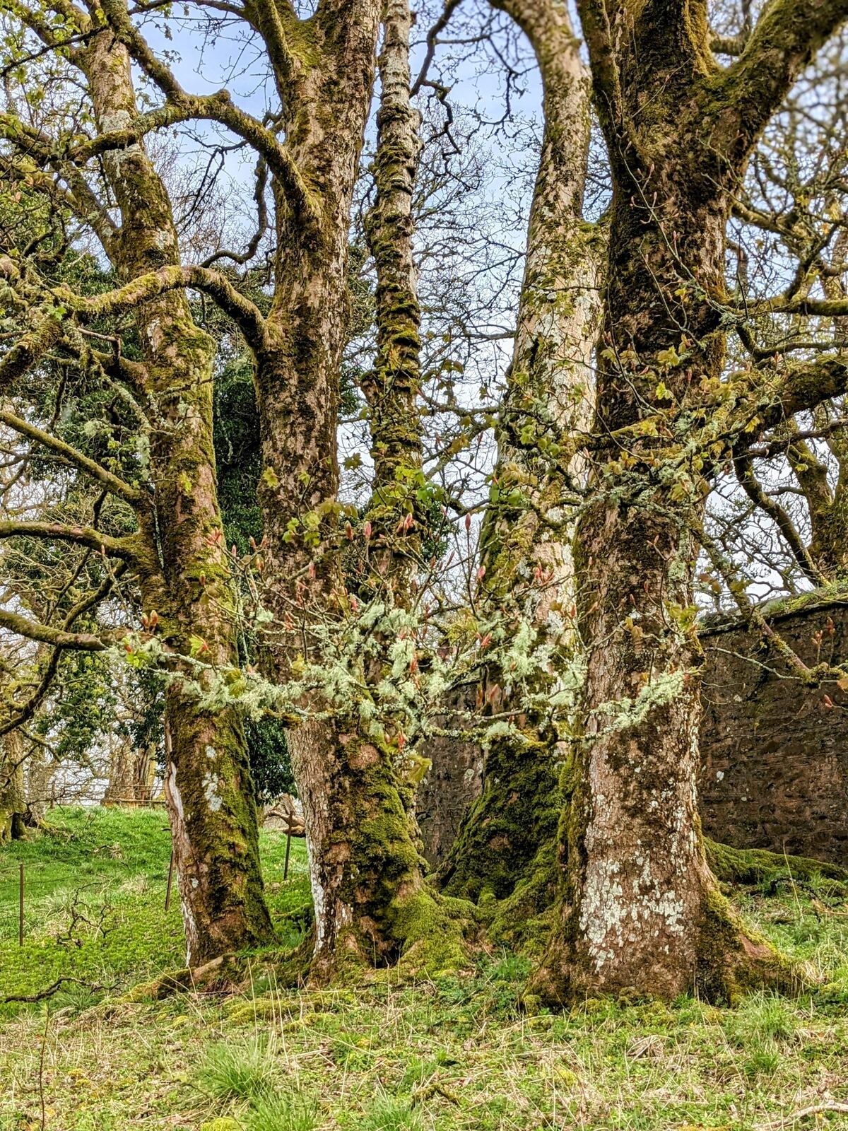
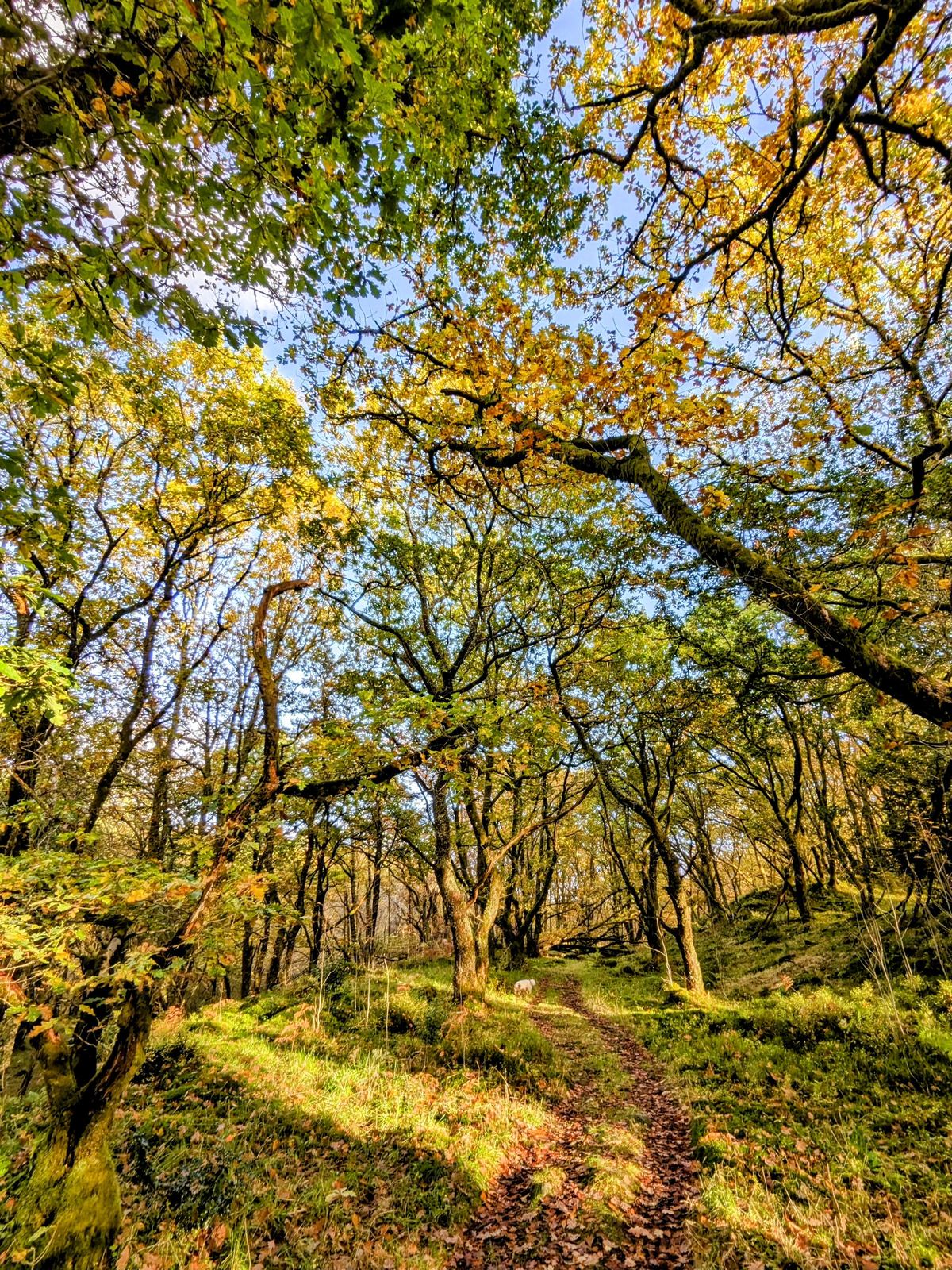
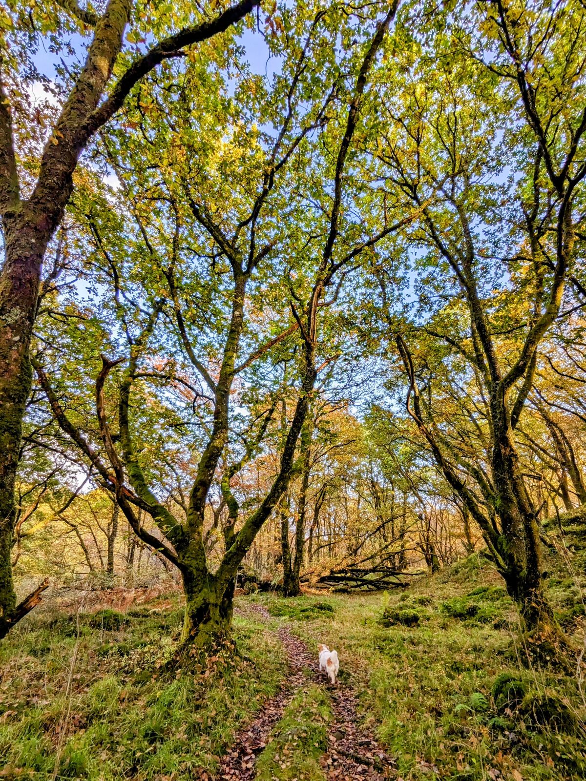
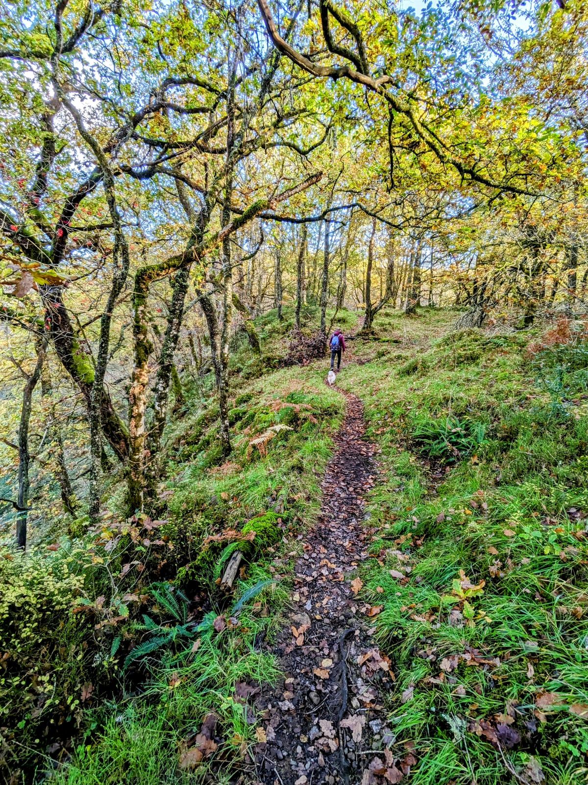
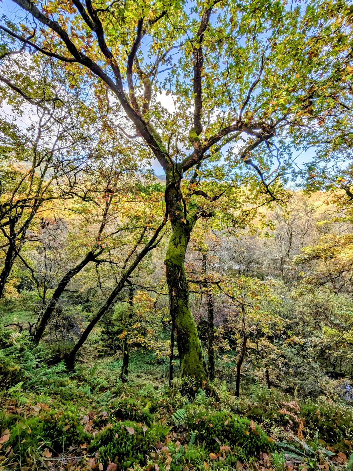
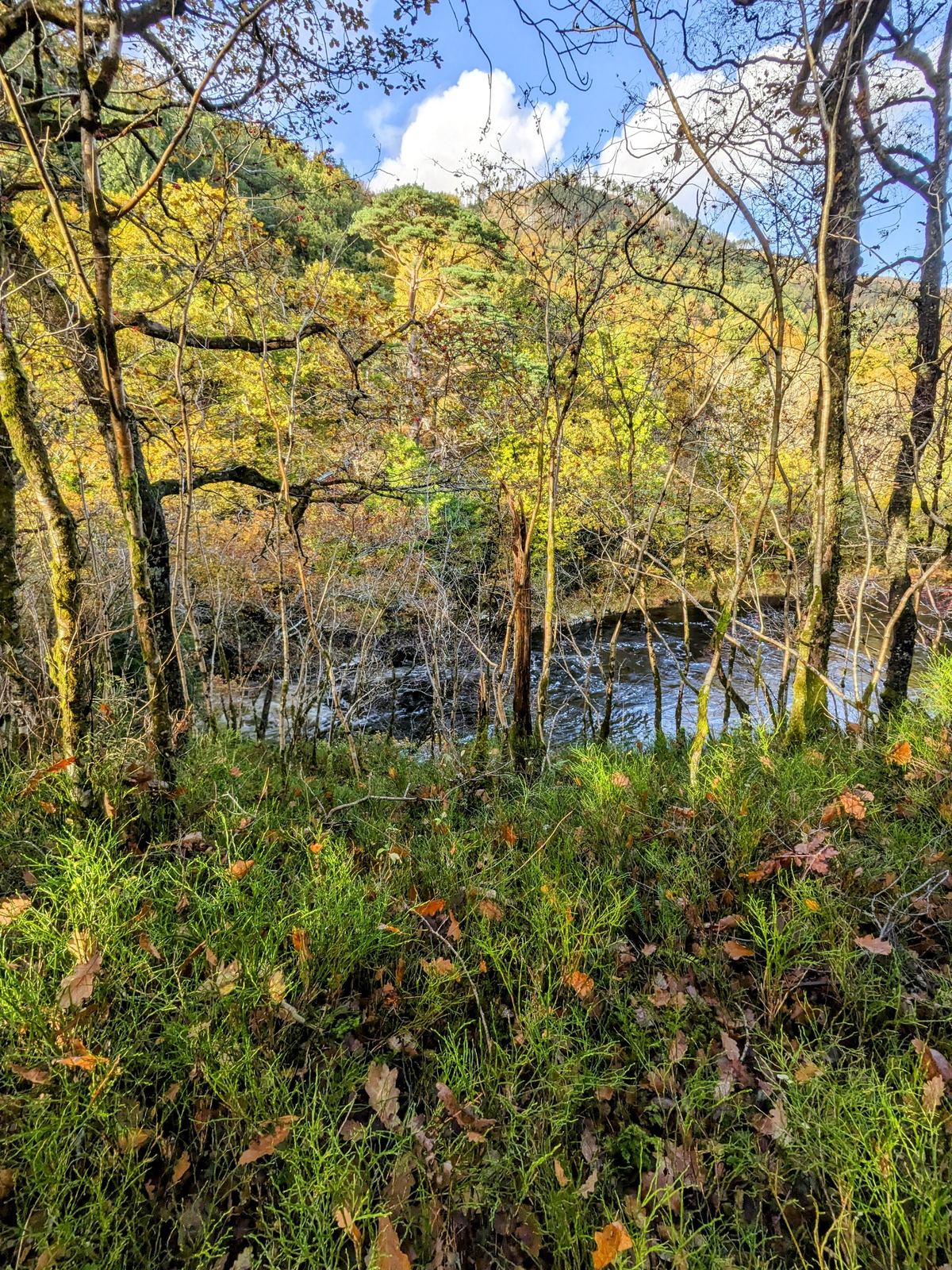
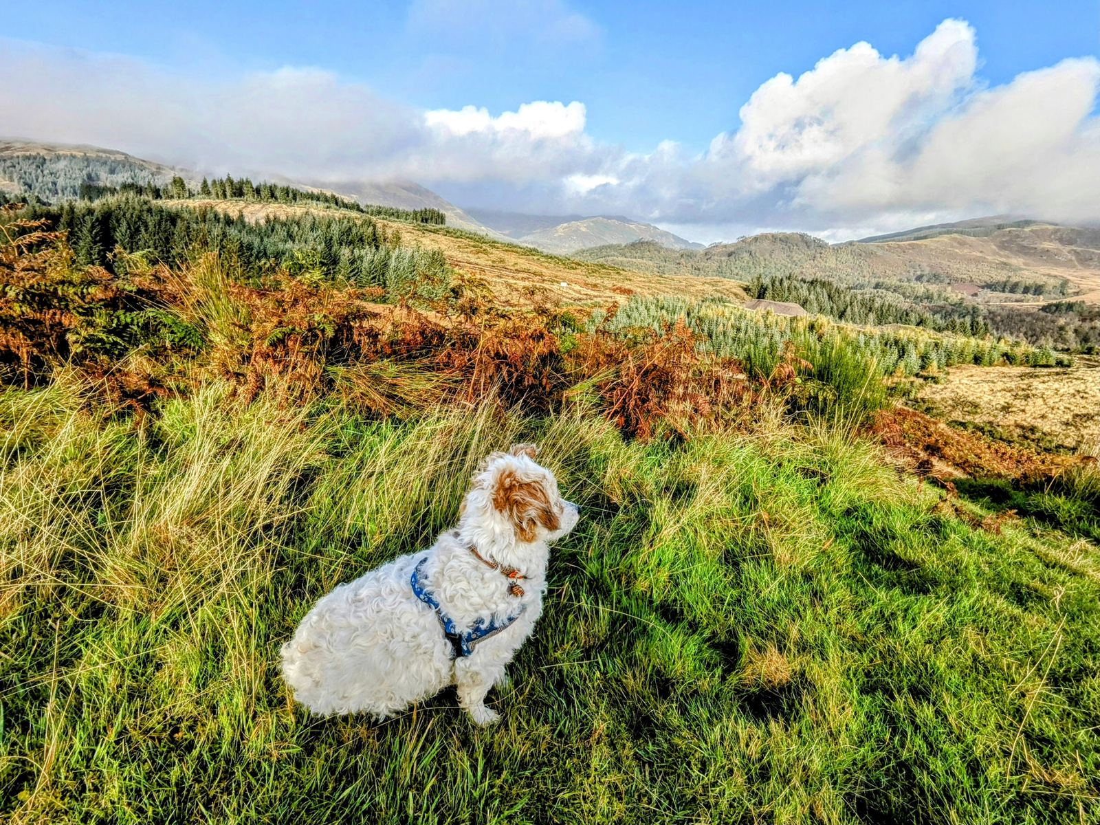
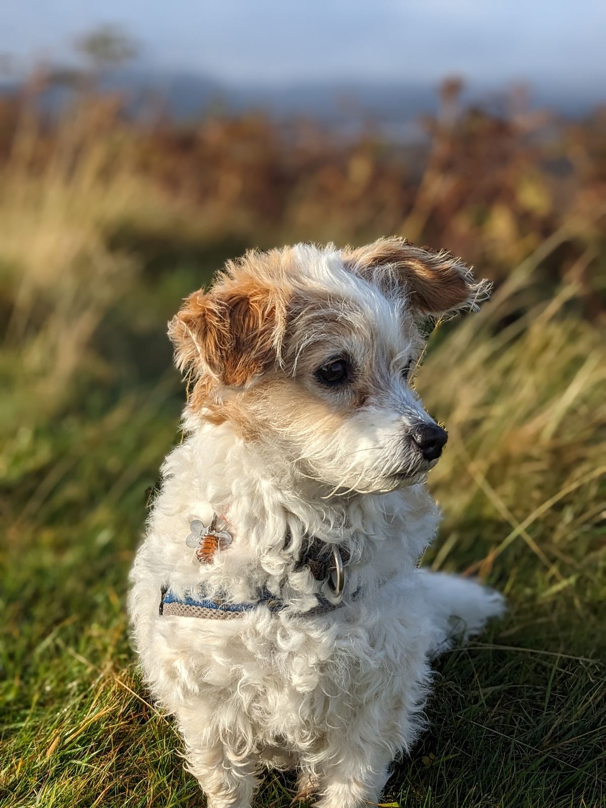
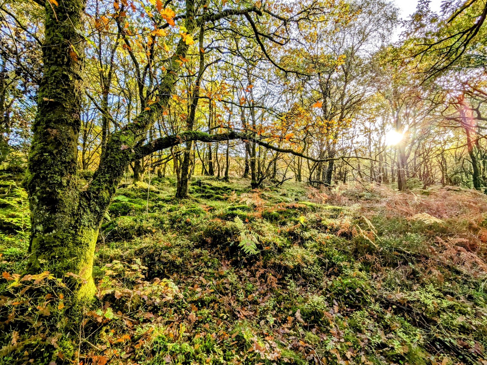
In autumn it’s magic. Through October the oak and birch woods around the town and along the Great Trossachs Path turn every shade of gold and copper, with the low sun slanting through the trees. These are easy, flat, dog-friendly paths — exactly our kind of walking — and you rarely have to share them. We spent a whole soft October morning just wandering the woods west of town with Lillie.
The lochs — a whole ring of them
This is loch country, and Kilmahog–Callander is the pivot of it. Within an easy ride you can string together a whole ring of lochs — here are the ones on the doorstep, some we’ve reached on foot and by bike, others well within a week’s riding:
- Loch Lubnaig — “the next loch,” north up the Pass of Leny (its foot is only about 3 miles from town). Long, dark and hill-ringed, with the old railway/cycle path running right along its shore.
- Loch Venachar — immediately west; the south-shore road (Invertrossachs Road) is a quiet cycling gem.
- Loch Achray & Loch Katrine — the heart of the Trossachs, west via Kilmahog and the Duke’s Pass. Loch Katrine is where the steamship SS Sir Walter Scott (1899) still sails, and where Glasgow has drawn its drinking water since 1859.
- Loch Earn — north via Lochearnhead, if you carry on up the glen.
- Loch Drunkie — hidden in the Achray Forest on the traffic-free Achray Forest Drive, a lovely off-road loop by bike.
- Loch Ard & Loch Chon — the quiet pair on the Aberfoyle side, threaded by forest roads and the NCN7 cycle route.
- Loch Arklet — up on the high road between Loch Katrine and Loch Lomond, toward Stronachlachar.
- Lake of Menteith — south toward Aberfoyle: famously the only inland water in Scotland called a “lake,” with Inchmahome Priory on its island, where the infant Mary, Queen of Scots was hidden in 1547.
- Loch Voil & Loch Doine — north-west up Balquhidder glen, above Rob Roy’s grave.
- Loch Lomond — the giant to the west; the Great Trossachs Path and quiet back roads link the two loch systems.
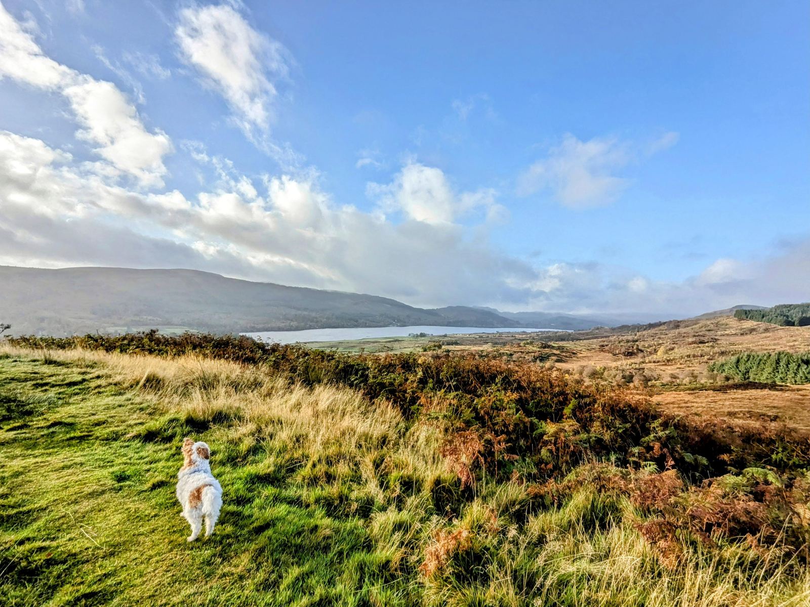
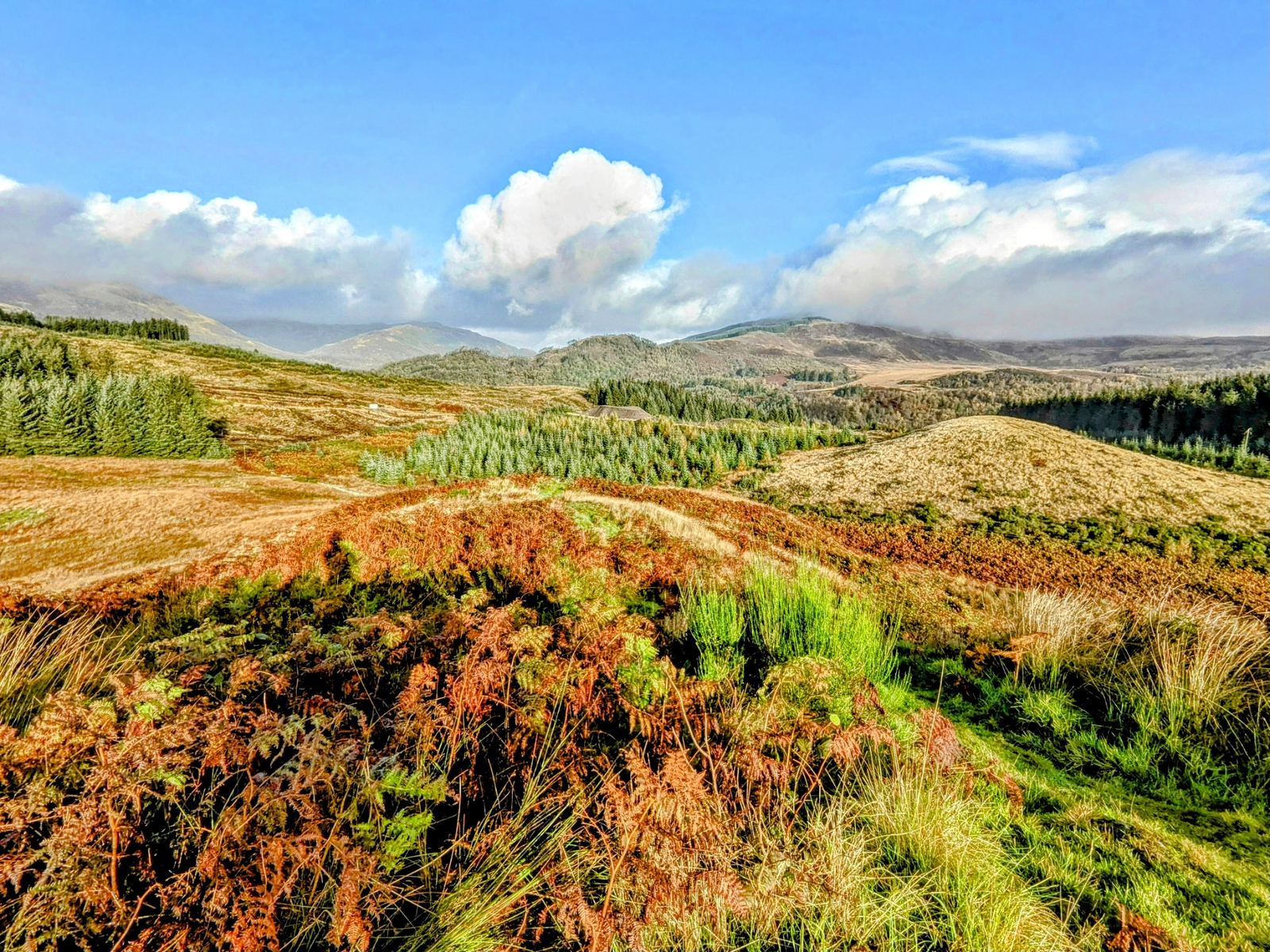
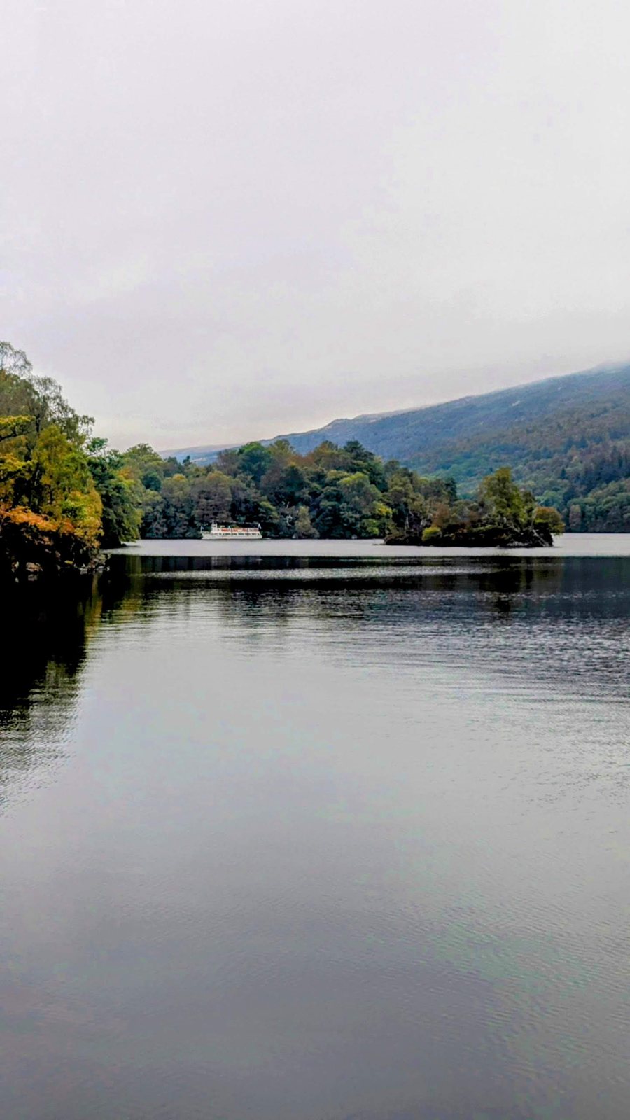
Loch Venachar up close. The nearest of the ring, Loch Venachar (Gaelic Loch Bheannchair, “loch of the pointed hills”) lies just west of Callander under the shoulder of Ben Ledi (879 m). It drains east by the Eas Gobhain, which joins the Garbh Uisge (down from Loch Lubnaig and the Falls of Leny) to form the River Teith right at Callander — so the loch you look out over is, quite literally, the river you walk beside in town. The sluices at its east end are part of the great Loch Katrine water scheme (1859), holding and regulating the flow downstream. The quiet Invertrossachs Road along the south shore is a favourite easy pedal, and the open moor and forest above town give some of the finest autumn colour anywhere in the Trossachs.
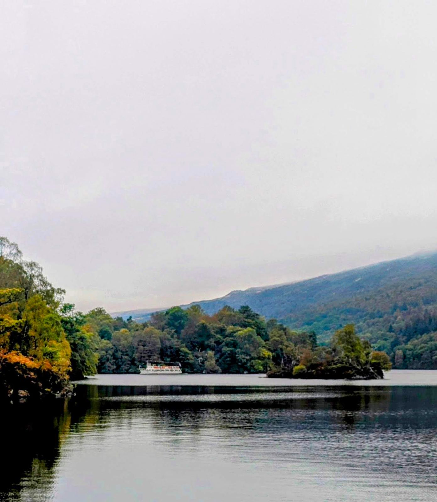
Scottish Outposts note: these are the lochs we’ve linked together on the bike out of Callander — Venachar, Achray and their neighbours on one loop, Loch Lubnaig on the railway path north. We’re keeping a running tally in our Lochs of Scotland collection as the rides join them up.
The big ride — a 46 km Trossachs lochs loop
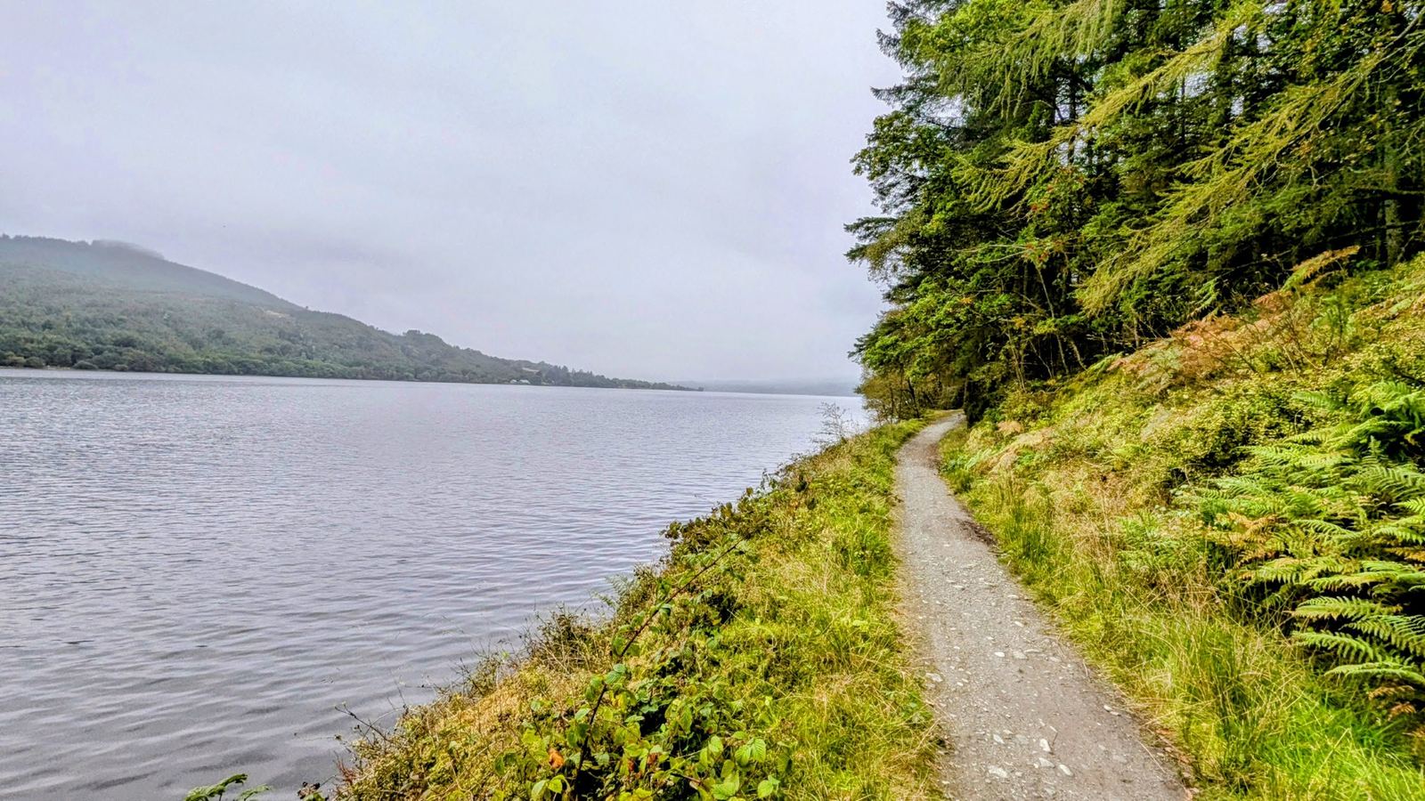
Our stand-out ride from Callander is a ~46 km loop into the Trossachs, stringing together Loch Venachar, Loch Drunkie and Loch Achray by way of Brig o’ Turk — quiet loch-shore roads and forest tracks, big Trossachs scenery the whole way, and a couple of proper lochs bagged in a single day out.
The other ride — the old railway north, all the way to Killin
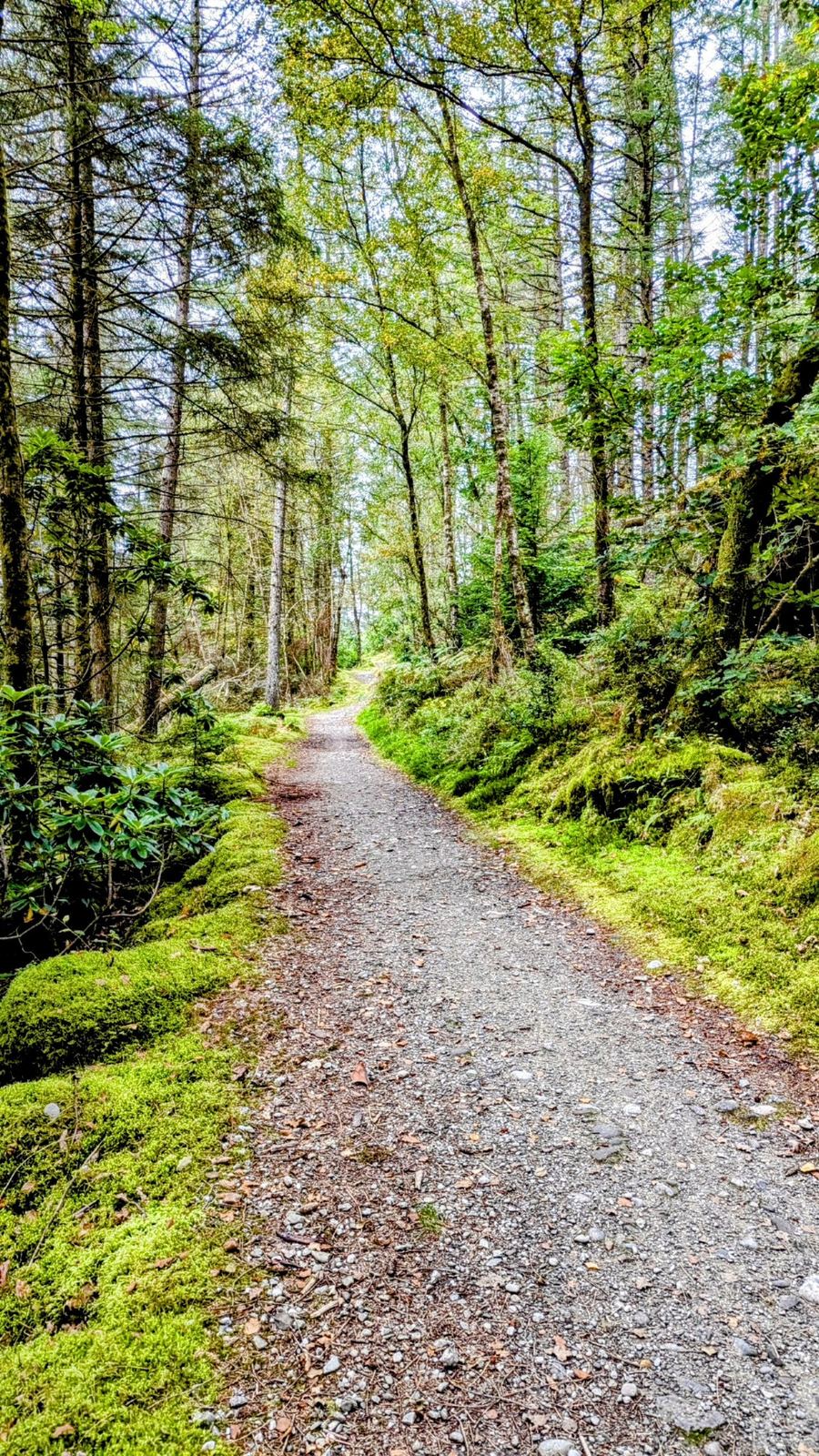
The second classic is the traffic-free old railway line north — the bed of the Callander & Oban Railway (closed after the 1965 Glen Ogle landslide), now National Cycle Network Route 7. It runs from Callander up the Pass of Leny, past the Falls of Leny, right along the shore of Loch Lubnaig to Strathyre, then on past Loch Voil and Balquhidder (Rob Roy’s grave) and Lochearnhead on Loch Earn, climbing the great Glen Ogle viaduct — and you can follow it the whole way to Killin at the head of Loch Tay. The easy near-Callander stretch is flat and family-friendly; the full run to Killin and back is a ~67 km epic and one of the great rides of the southern Highlands.
Rob Roy & the Trossachs
Callander sits in the middle of Rob Roy MacGregor country. Born at Glengyle at the head of Loch Katrine in 1671, the outlaw-hero died in Balquhidder in 1734 and lies in the Balquhidder kirkyard (about 13 miles north), his grave slab carved “MacGregor Despite Them.” (It’s the accepted and marked grave, though — honestly — the burial isn’t documented beyond doubt.)
The wider fame of the Trossachs was made by Sir Walter Scott, whose poem The Lady of the Lake (1810), set on Loch Katrine, and novel Rob Roy (1817) set off a wave of Victorian tourism that Callander has lived on ever since. If you walk or ride the Great Trossachs Path (about 30 miles, Callander to Inversnaid on Loch Lomond), you’re travelling straight through the scenery that started it all.
Practical — parking, campers, tea & dogs
- 🅿️ Walk car parks — free: the Callander Crags and Bracklinn Falls car parks on Bracklinn Road are free.
- 🅿️ Town parking: Callander has riverside/Main Street car parks — check current signage for free vs paid, as town-centre rules change.
- 🚐 Overnight (campers): we stay a mile out in the next village — free and quiet — and walk in. (Confirm the exact spot and whether it’s a recognised overnight; I’ve kept it general.)
- ☕ Tea & supplies: good tea rooms and shops on Main Street (Mhor Bread among them), plus the shoe shop.
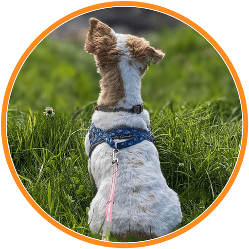
- 🐕 Dogs: superb — riverside, crags, falls and loch paths all on the doorstep. Lillie’s a fan. Keep close near the river and any livestock.
- 🚲 Bikes: NCN7 north is traffic-free and easy; the Trossachs loops mix quiet road and forest track — a gravel/hybrid bike is ideal.
Watch: Callander


Insta360 X6 360° Action Camera
Our clips here are all shot on the Insta360 X6, the little 360° camera we film everything with. Riding out of Kilmahog you just clip it to the bars and it grabs the whole scene — road, hills, dog and all — then you reframe the best shot later. No fiddling with angles while you pedal; that’s why we love it.
Check price on Amazon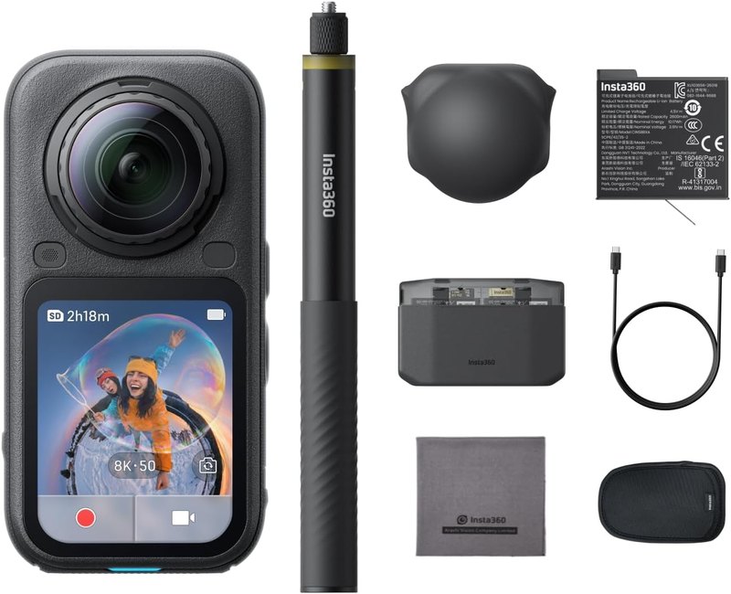
More from our visits
Nearby — combine it with
- Stirling — half an hour down the road, and the obvious wet-weather alternative when the Trossachs disappear into cloud.
- Doune — a short run east: the mighty Doune Castle, the great late-14th-century stronghold of Robert Stewart, Duke of Albany (“Scotland’s uncrowned king”), later famous on screen as Monty Python’s castle, Outlander‘s Castle Leoch and the Game of Thrones Winterfell — plus the historic village and an old Roman fort. (A page of its own to come.)
- Killin — north via Lochearnhead and Glen Ogle (on the same old-railway cycle route and the Rob Roy Way): the Falls of Dochart and the head of Loch Tay.
- Loch Lomond — west through the Trossachs; the Great Trossachs Path links the two lochs directly.
- Aberfoyle & the Duke’s Pass — the other Trossachs gateway, over the hill past Loch Achray.
Reality notes
- 🚲 The rides: the Trossachs loop mixes quiet road and forest track and has real climbs; the railway path north is flat and traffic-free. Different rides for different days.
- 🌊 Bracklinn Falls / the rivers: fast water and gorges — stay on the paths and bridges, mind children and dogs.
- 🅿️ Parking: walk car parks free; town-centre parking rules unconfirmed — check on the day.
- 🐕 Dogs: brilliant, but it’s farmed and forested country — leads near livestock and on the narrow loch roads.
- 📅 Season: a year-round base; spring (our April visits) is quiet and green, autumn is stunning in the forests.
Why a daypack matters on the Trossachs loops
The rides and walks out of Callander are the sort where you leave in sunshine and meet weather at the top of the Bracklinn road. Everything here is a loop — you are committed once you start, and there is no cutting back to the car halfway. Carrying your own layers, water and lunch is not optional on the longer circuits, and a 40-litre pack is about right for a full day without being a burden.
☔ We’ve cycled out of Kilmahog in every mood the Trossachs can throw, and the honest truth is this: from September to June it rains here most days, sun at breakfast or not. That bright start is very often gone within the hour. It’s exactly why you’ll see genuine Scots riding with a small pack — packable waterproof inside, sometimes trousers, a wee brolly for the coffee stop. Do the same and a Trossachs shower is nothing to fear.
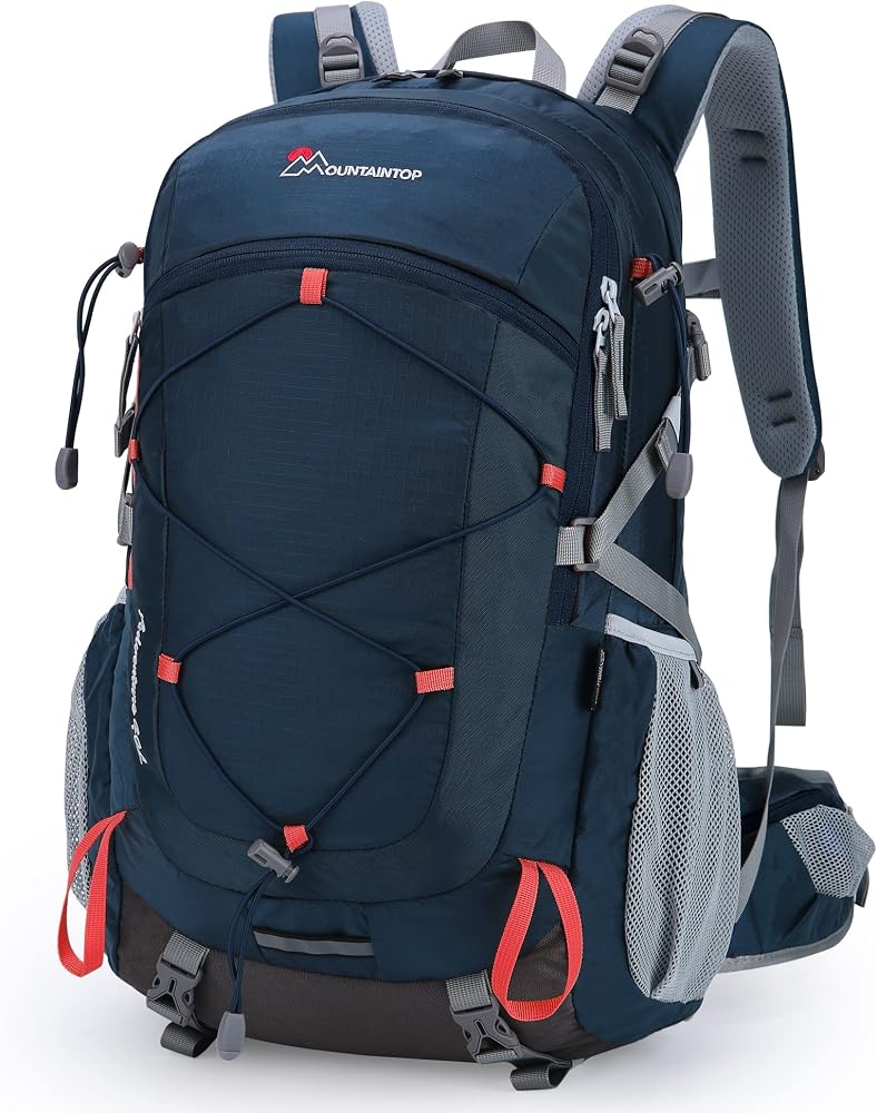
MOUNTAINTOP 40L Daypack
Callander is loop country, and a loop means carrying your day with you from the start. Forty litres takes lunch, layers and a flask without swinging about on the descents, and the built-in rain cover goes on one-handed when the Trossachs do what the Trossachs do.
Check price on Amazon