
National Cycle Route 78 — the Caledonian Way, Campbeltown to Inverness
Overview — coast to coast, the beautiful way
National Cycle Network Route 78, better known as the Caledonian Way, is one of the great long-distance cycle (and part-walking) routes in Britain: roughly 234 miles (about 377 km) from Campbeltown, at the foot of Kintyre, all the way up the west of Scotland and through the Great Glen to Inverness. It stitches together canals, old railways, forest tracks and quiet lanes to carry you the length of the Highlands largely away from the traffic — and it happens to pass through a whole string of the places we love best.
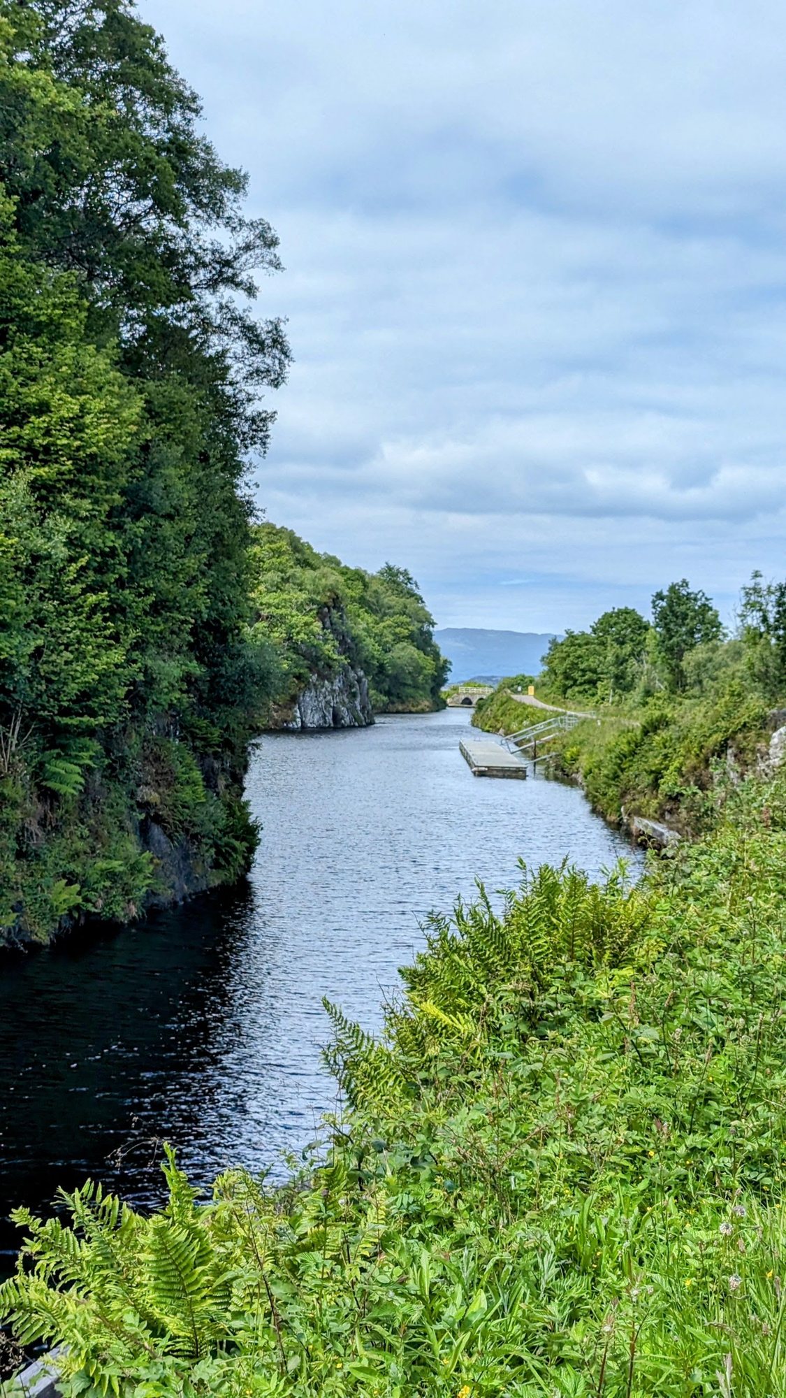
The route, south to north
From Campbeltown the Way heads up Kintyre through Tarbert and along the beautiful Crinan Canal, then on by Kilmartin Glen and Loch Awe toward the west-coast seafood town of Oban. From there it runs north to Fort William beneath Ben Nevis, joins the towpaths of the Caledonian Canal, and threads the length of the Great Glen — past Laggan Locks and Fort Augustus, along Loch Ness — to finish at Inverness.
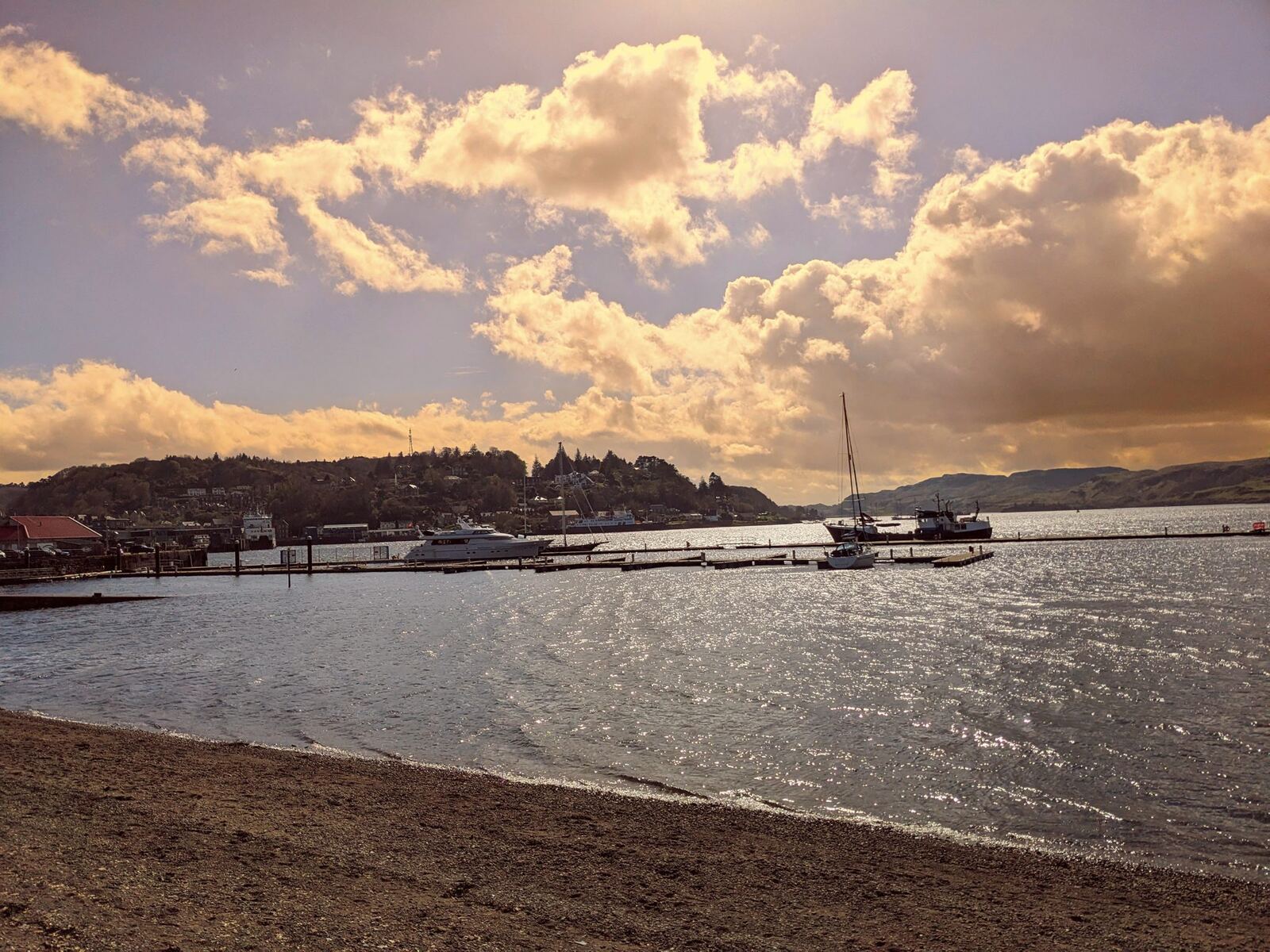

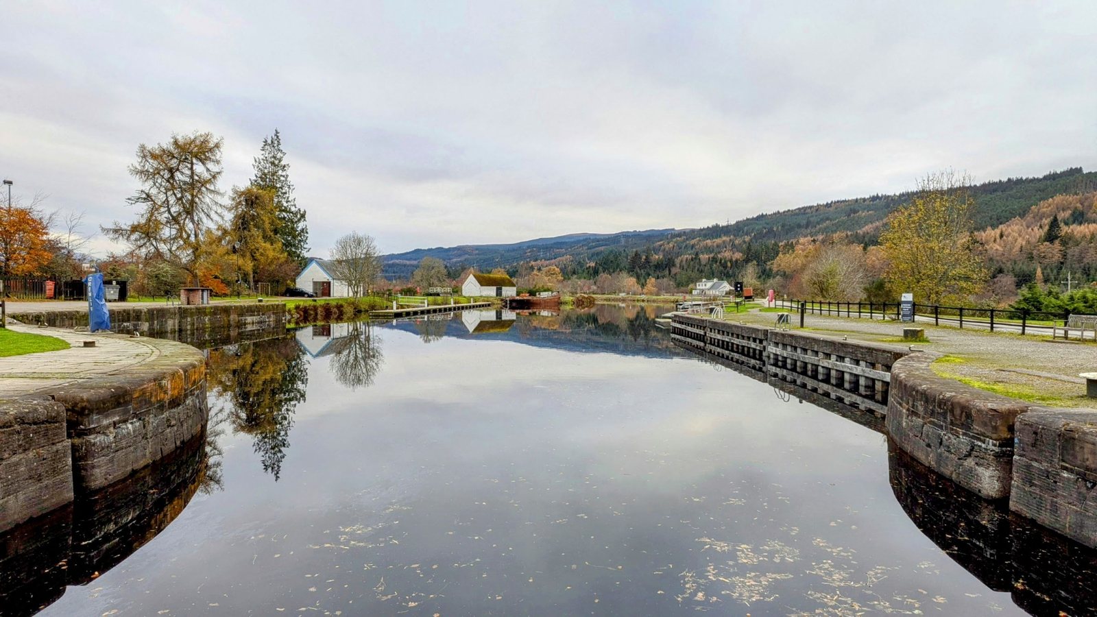
What it’s like
The joy of the Caledonian Way is how much of it is away from busy roads: the flat, tree-lined towpaths of the Crinan and Caledonian canals, the beds of old Highland railways, quiet single-track lanes and forest roads. It undulates plenty — this is the Highlands, after all — but the scenery is simply relentless: sea lochs, canals, castles, distilleries and mountains the whole way. You can ride it end to end over a week or so, or do it in day-sized bites from the villages along it, which is exactly how we’ve come to know it.
The full route
Here’s the northern half of the Way — the Argyll coast and the Great Glen, from Oban up to Inverness — the stretch that runs through so many of our favourite spots:
Sources
- Sustrans on National Cycle Route 78 / the Caledonian Way.
- Route geometry from OpenStreetMap; first-hand notes from our own travels along it.