
The Kintyre Way: Scotland’s 100-Mile Walk Down a Whole Peninsula
Overview — the honest take
The Kintyre Way is one of Scotland’s Great Trails: a 100-mile (161 km) waymarked route that runs the entire length of the Kintyre peninsula, from Tarbert in the north down to Machrihanish on the wild south-west corner. It zig-zags coast to coast down one of the least-visited limbs of Argyll — forestry tracks, old lanes, hill paths and long empty beaches — with the islands of Arran, Gigha, Islay and Jura filling the horizon for much of the way.
We’ll be straight with you: we haven’t marched all hundred miles end to end in one push. But we’ve toured, parked and wild-camped the length of Kintyre, on and off the Way, more times than we can count — so this page pulls it all together: the route and its stages, the villages and castles beside it, the lochs, the car parks and overnight spots we’ve actually used, and where you can wild-camp along it. Wherever we’ve written a place up in full, we’ve linked it so you can dig in.
It sits within the wider Argyll — Cowal, Kintyre & the West Coast region we cover, and if a week on foot isn’t your thing, it’s a cracking cycle too.
The route at a glance — the seven stages
The Way is fully waymarked and carries distance markers every mile. Most people walk it south from Tarbert over about a week, in seven stages. Roughly, north to south:
- Tarbert → Skipness / Claonaig — wooded east coast above the Kilbrannan Sound, Arran across the water. (Tarbert, Skipness)
- Claonaig → Clachan → Tayinloan — over the spine of the peninsula to the west coast and the little Gigha ferry.
- Tayinloan → Carradale — back across the middle to one of Kintyre’s prettiest east-coast villages.
- Carradale → Campbeltown — the long haul down to the “wee toon.” (Campbeltown)
- Campbeltown → Southend & Dunaverty — the deep south: St Columba’s footprints, Dunaverty Rock and a big empty bay. (Southend & Dunaverty, Keil)
- Southend → Machrihanish — the finish, out on the Atlantic dunes and the great beach. (Machrihanish)
Where it starts — Tarbert & Loch Fyne
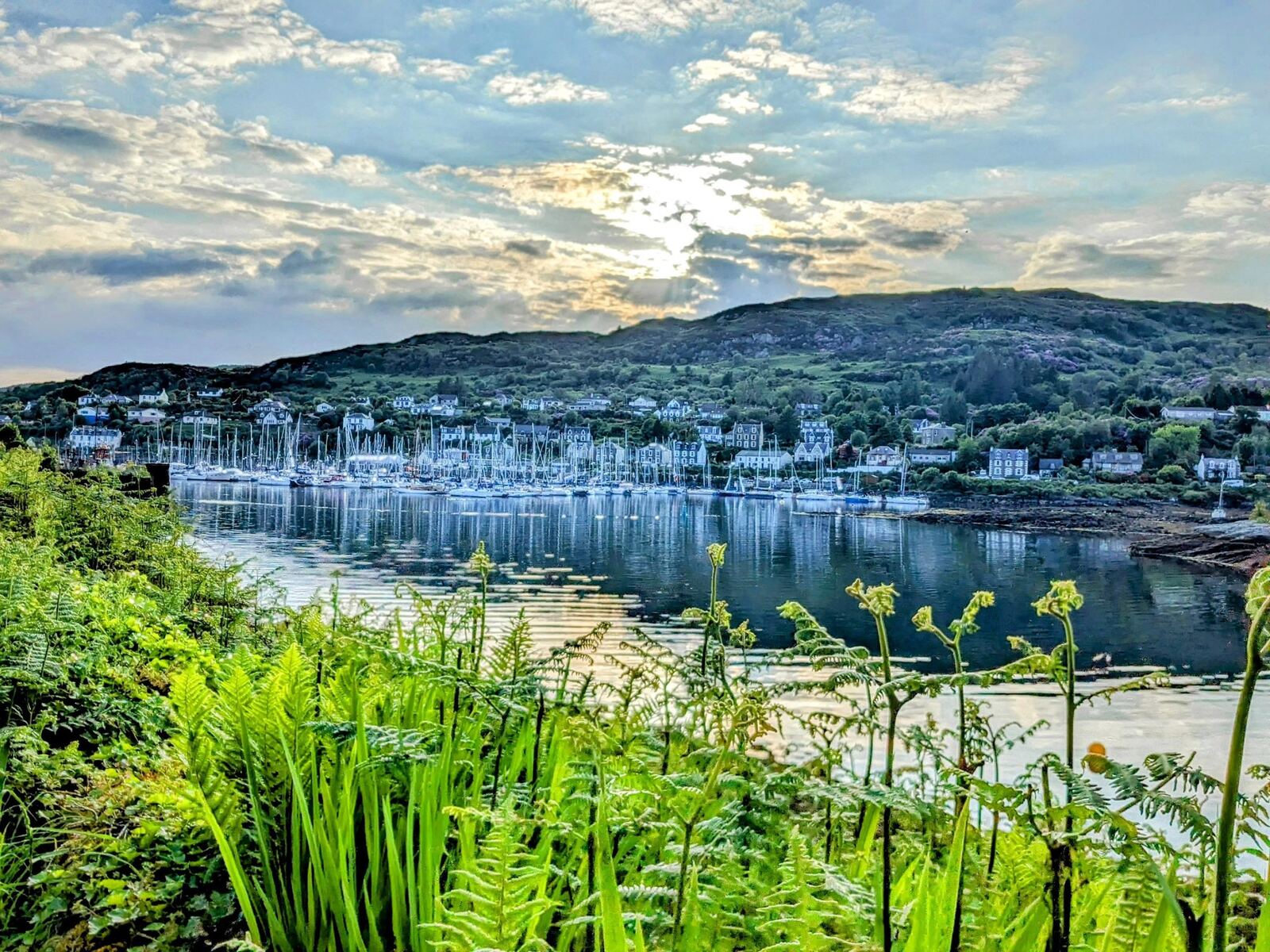
The Way starts in Tarbert, the pretty fishing village that guards the neck of the peninsula on Loch Fyne, Scotland’s longest sea loch. There’s a ruined castle above the harbour, seafood off the boats, and it’s an easy place to leave a vehicle and start walking. If you’re coming down from the north, the Crinan Canal and the standing stones of Kilmartin Glen are worth a stop on the way in.
Down the wild east coast
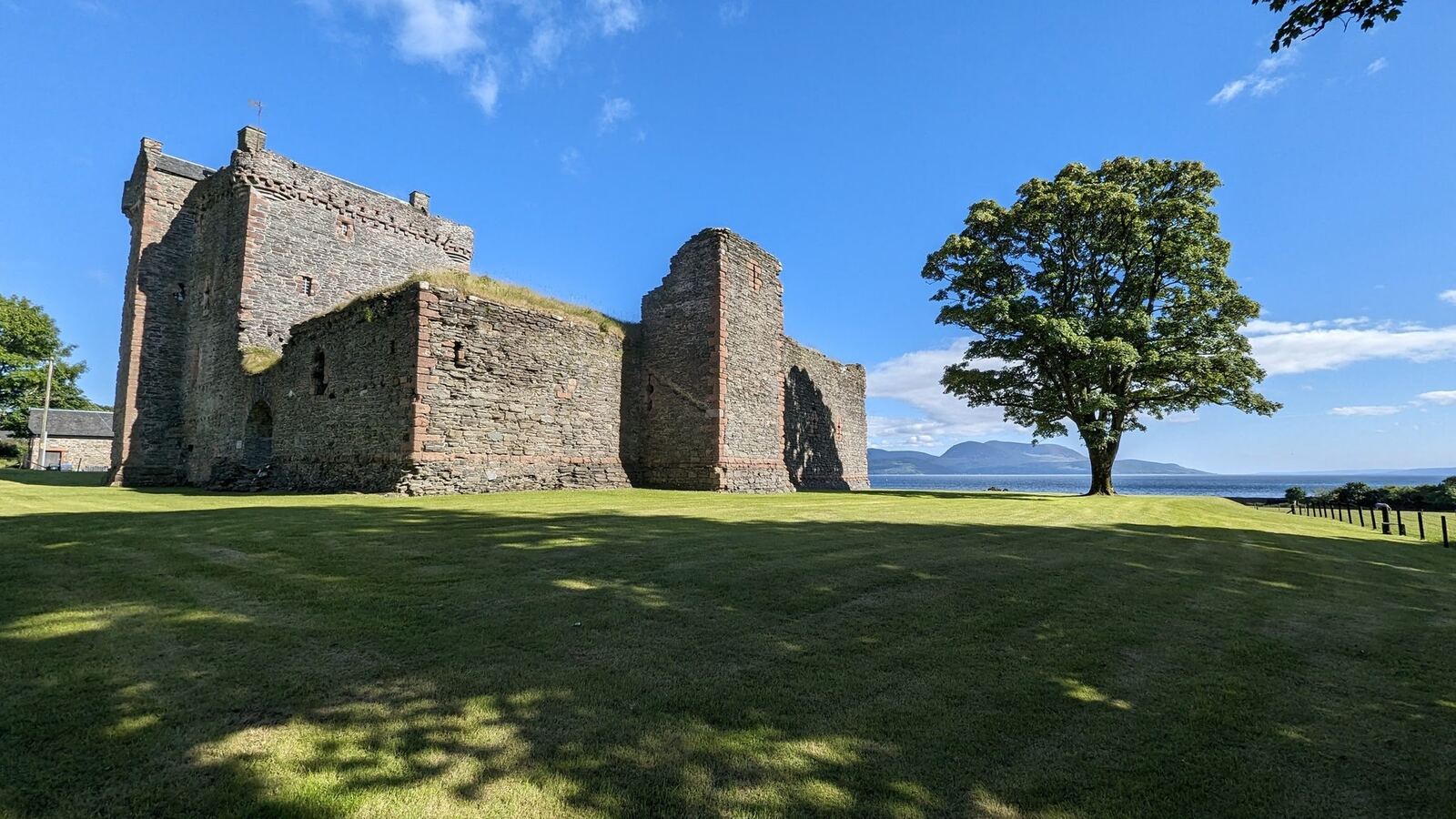
The first stages run down the sheltered east side, above the Kilbrannan Sound with Arran filling the view. Skipness is the highlight — a big 13th-century castle, a chapel, and the famous Skipness Seafood Cabin right on the shore. Below Skipness the Claonaig slip runs the little summer ferry across to Lochranza on Arran. Further south the route passes Carradale and the old Saddell estate before the long pull into Campbeltown.
The west coast, the islands & the Atlantic finish
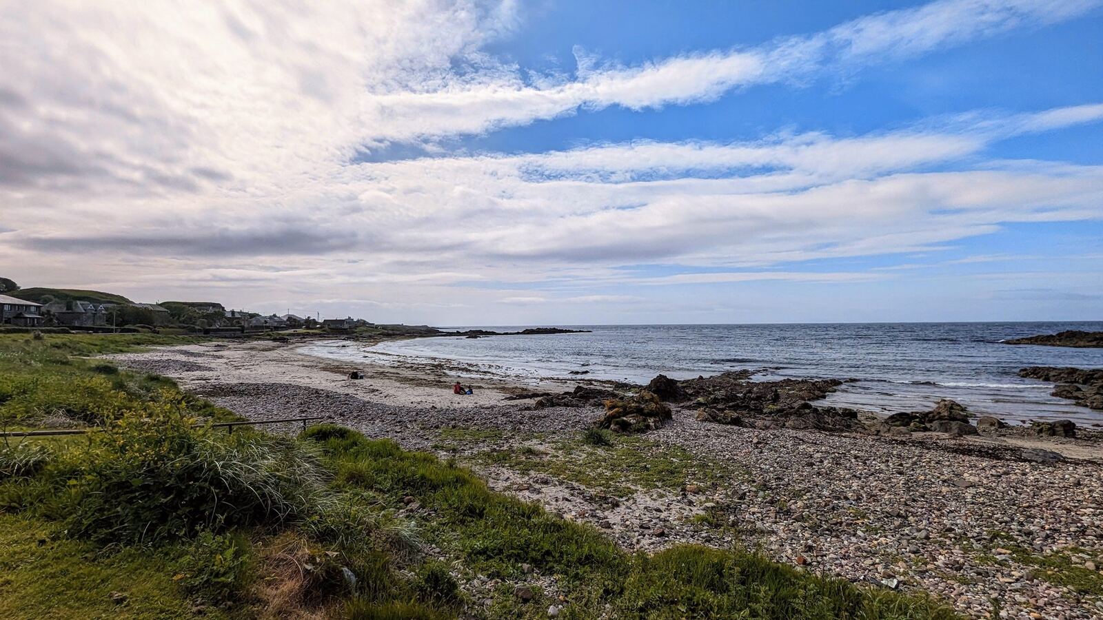
The west-coast stages open onto Gigha, and on a clear day Islay and Jura beyond. Glenbarr Abbey — a Gothic house that was never actually an abbey — sits just inland near Bellochantuy. The Way finishes gloriously at Machrihanish, on the great three-mile Atlantic beach and dunes on the peninsula’s south-west tip — one of our favourite spots on the whole of Kintyre.
The reward at the end — Campbeltown & its whisky
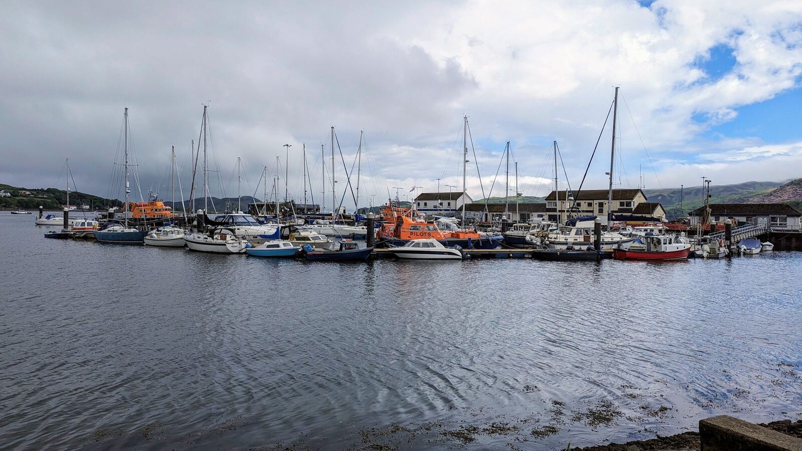
Near the finish sits Campbeltown, the “wee toon” at the end of the road — once the whisky capital of the world, and still home to Springbank and Glen Scotia, two of Scotland’s great survivor distilleries. Off the harbour, you can walk to Davaar Island and its cave crucifixion painting at low tide. South of town the Way loops through Southend & Dunaverty and Keil, where St Columba is said to have first set foot in Scotland.
Lochs & castles along the way
Kintyre is thin on big inland lochs but wrapped in sea lochs and dotted with ruins. Beside the Way you’ll find:
- Lochs: Loch Fyne at the very start (see the rest of our Lochs of Scotland hub for more).
- Castles: Skipness Castle, the ruined Tarbert Castle above the harbour, and Dunaverty Rock near Southend — all part of our Castles of Scotland collection.
Parking & overnight spots we’ve used
You don’t have to walk the whole thing in a week. We’ve done Kintyre in a motorhome and picked off sections, and these are the bases we’ve actually parked and stayed at:
- Campbeltown — Kinloch Park, central and handy for the town, the distilleries and Davaar.
- Machrihanish — right by the Atlantic beach at the finish.
- Southend & Dunaverty — the quiet deep south.
- Tarbert — the natural base for the start.
- Our favourite wild pebble beach right on the Way (details below).
Wild camping on the Way
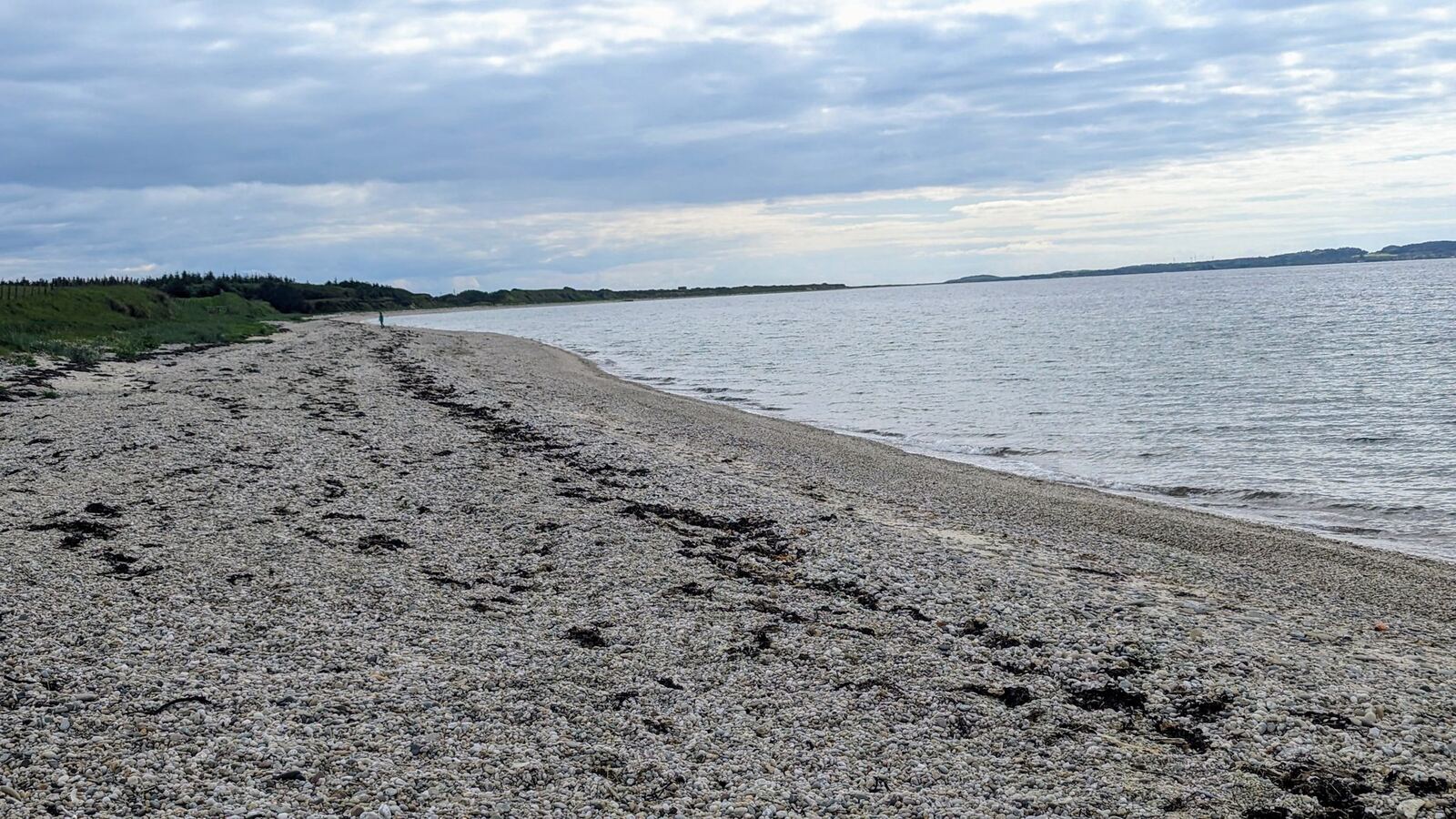
Under the Scottish Outdoor Access Code you can wild-camp responsibly along most of the route. Our pick is the wild shingle beach we camped on right on the Kintyre Way — one of the best free nights we’ve had in Scotland. Machrihanish is the other obvious wild spot at the southern end. Leave no trace, carry your rubbish out, keep fires off the machair, and camp well away from houses.
Getting there & the ferries
Kintyre hangs off the west coast on the long A83 down the side of Loch Fyne — a beautiful but slow drive, so allow time. The peninsula is also stitched to the islands by CalMac ferries, which are worth planning around:
- Tarbert – Portavadie (a handy short cut across Loch Fyne from Cowal).
- Claonaig – Lochranza (summer ferry to Arran, right on the early stages).
- Tayinloan – Gigha (the little island off the west coast).
- Kennacraig – Islay & Jura (from just south of Tarbert).
- Campbeltown – Ardrossan (the seasonal summer sailing back to the mainland).
Practical tips
- Direction: most walk north–south from Tarbert, finishing on the Atlantic at Machrihanish.
- Navigation: fully waymarked with mile markers, but carry the map/GPX — forestry and hill sections can be exposed and boggy.
- When to go: May–June and September are ideal — long light, fewer midges than high summer. Kintyre catches Atlantic weather, so pack for wet whatever the season.
- Resupply: Tarbert, Campbeltown and the bigger villages have shops; the middle stages are remote, so stock up.
Why a proper glass finishes the walk
A hundred miles down the peninsula ends, if you have any sense, in Campbeltown with something local in a glass. The Glencairn is the nosing glass the distilleries use themselves — the tulip shape concentrates everything the tumbler in the holiday cottage throws away.
Glencairn Whisky Glass — Set of 6
Kintyre finishes in whisky country — and a Campbeltown dram deserves the right glass. The Glencairn is the official nosing glass the distilleries themselves use: this is the classic gift-carton set of six, lead-free crystal, made in Scotland.
Check price on AmazonSources
- The Kintyre Way (official route site) & Scotland’s Great Trails — route, distance and stages.
- Walkhighlands — Kintyre Way.
- Everything first-hand (places, parking, wild camps) is from our own trips down Kintyre.