
Southend & Dunaverty: The Wild End of Kintyre
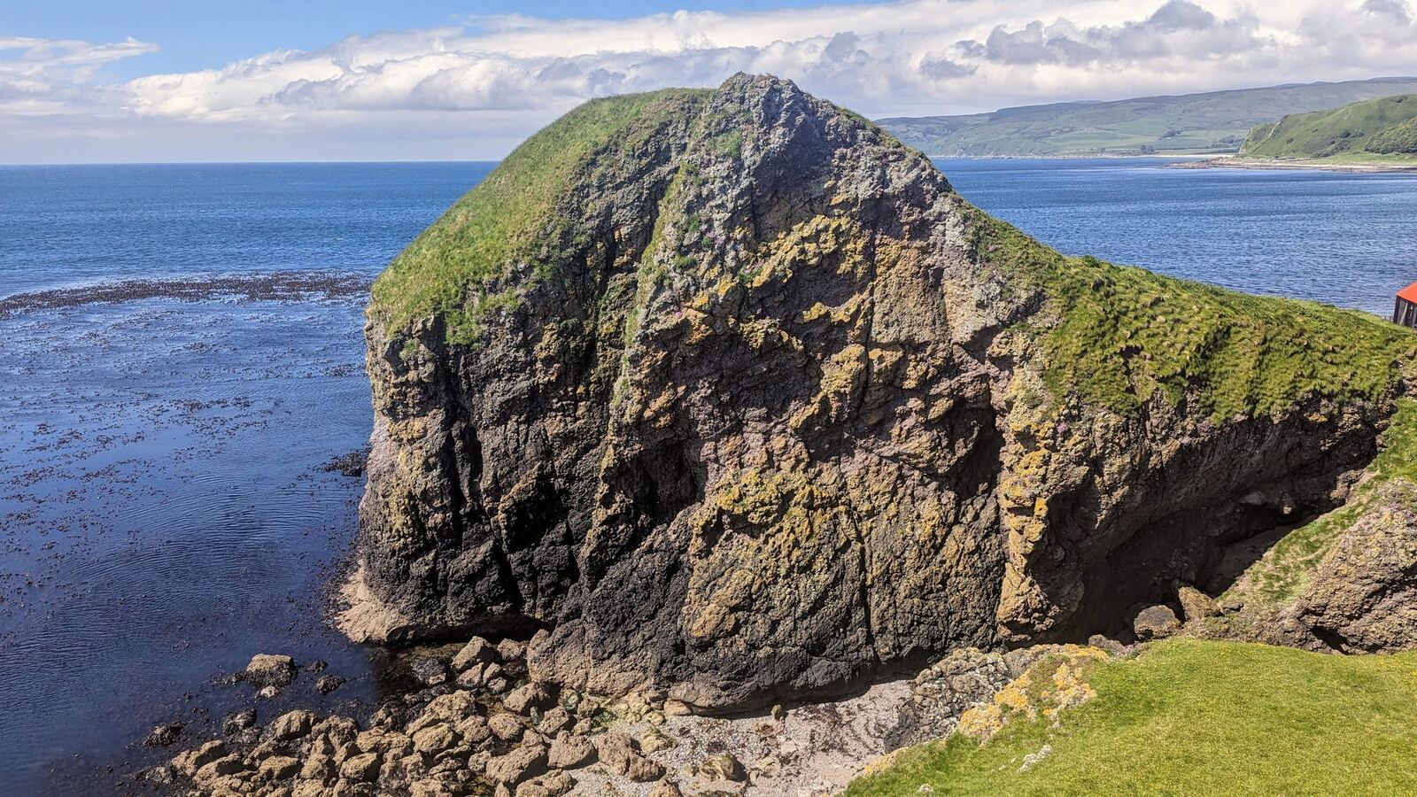
Overview — the road runs out, beautifully
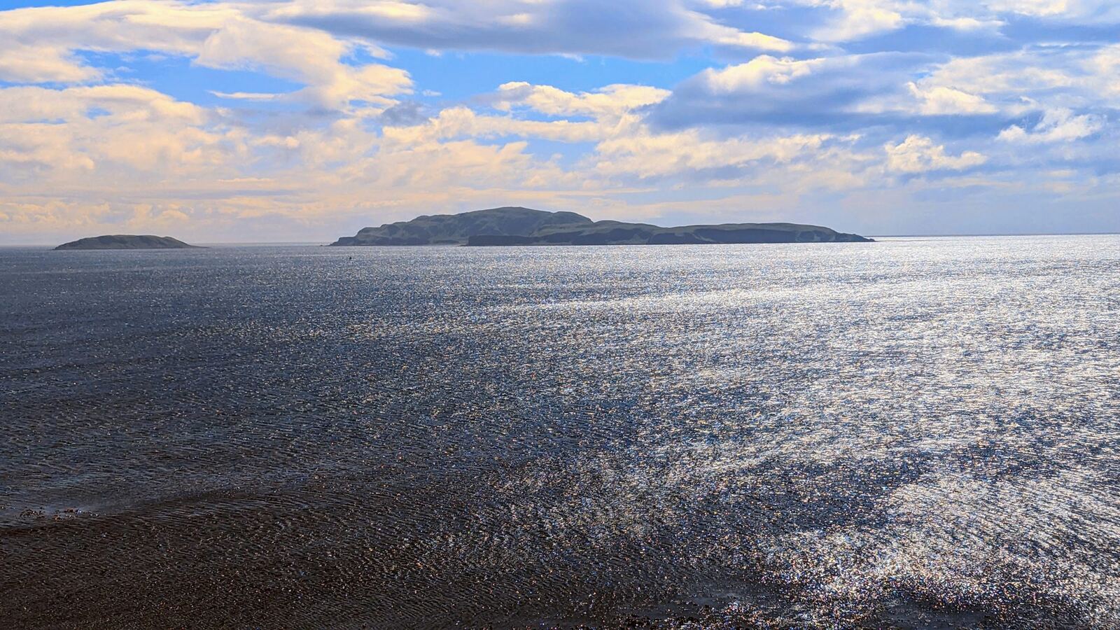
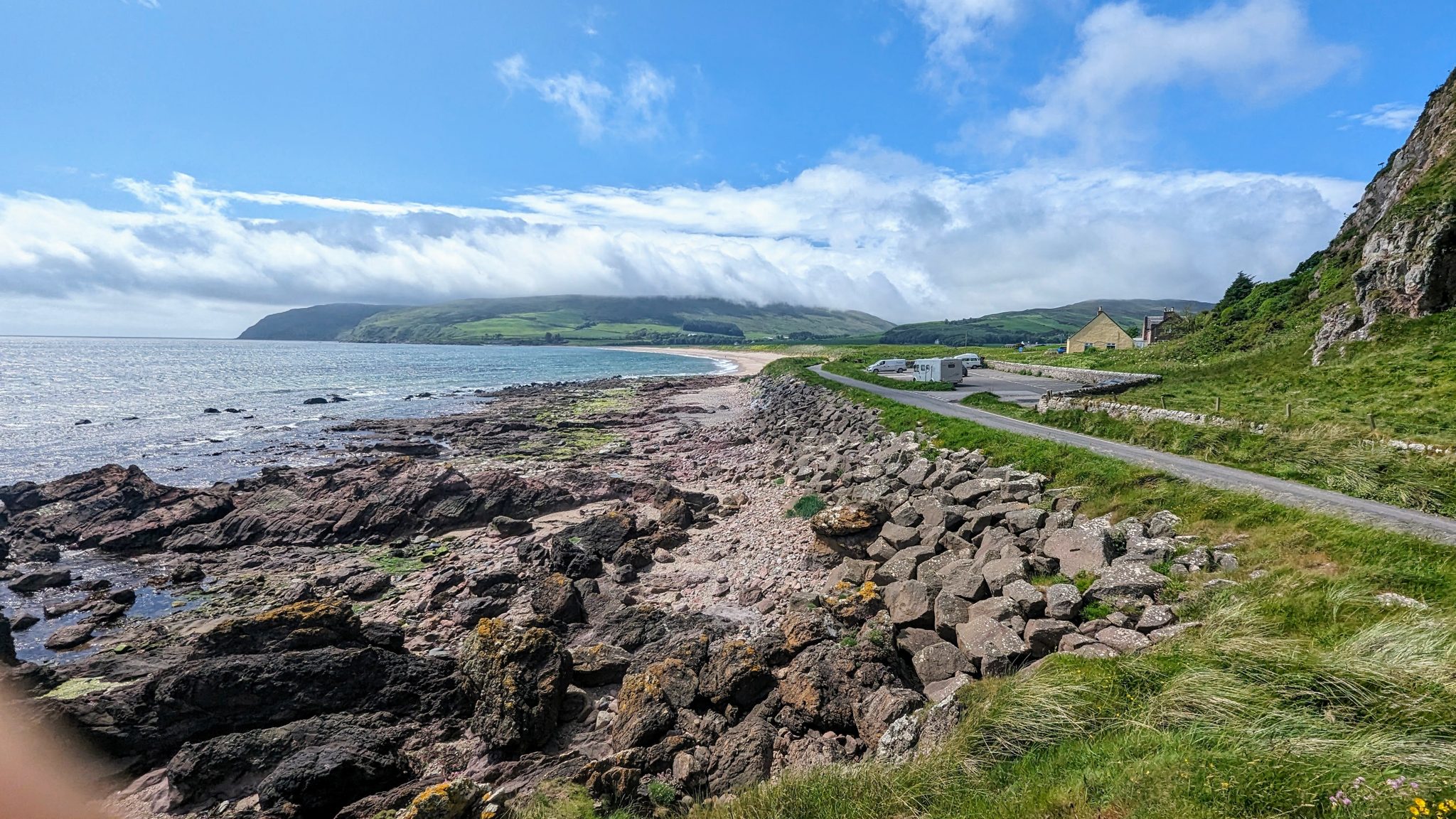
Right at the southern tip of the Kintyre peninsula, where the road finally runs out, sits Southend — a quiet village with a huge sweep of sandy beach, the dramatic Dunaverty Rock, deep history, and views across to Sanda Island and the Antrim coast of Northern Ireland. It’s about as far as you can drive down this arm of Argyll, and it rewards the effort. We loved it here — we stayed around four nights, parked for free right by the beach, and spent the days walking the sands and the hill above the village.
Where it is (and where on the route)
Southend is at the end of the B842, about 10 miles south of Campbeltown — the far south of Stage 5 (Kintyre) on the Argyll Coastal Route. It’s the same corner as Keil & St Columba’s (just to the west), and a natural pairing with it.
Dunaverty Rock & the 1647 massacre (sourced)
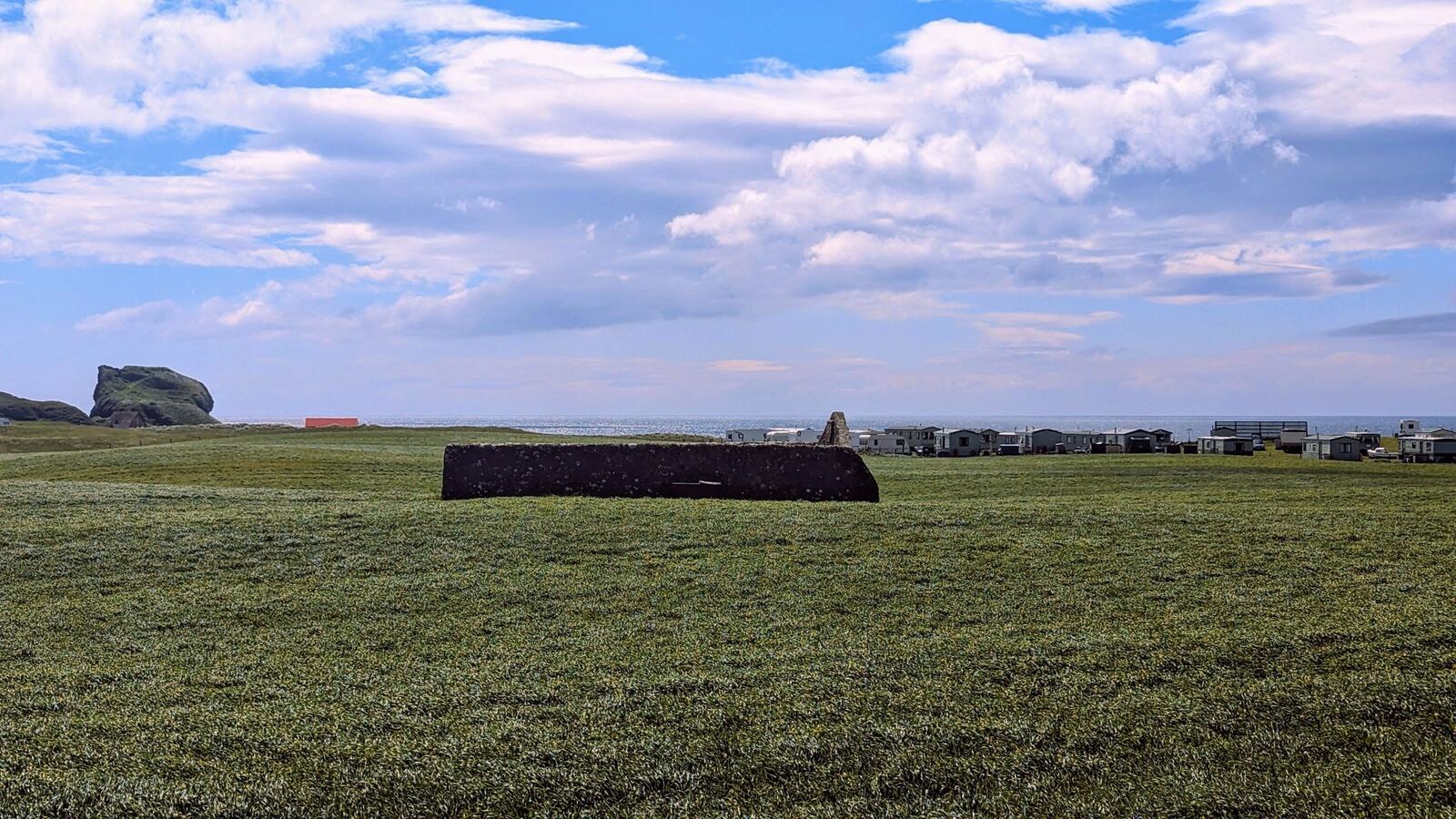
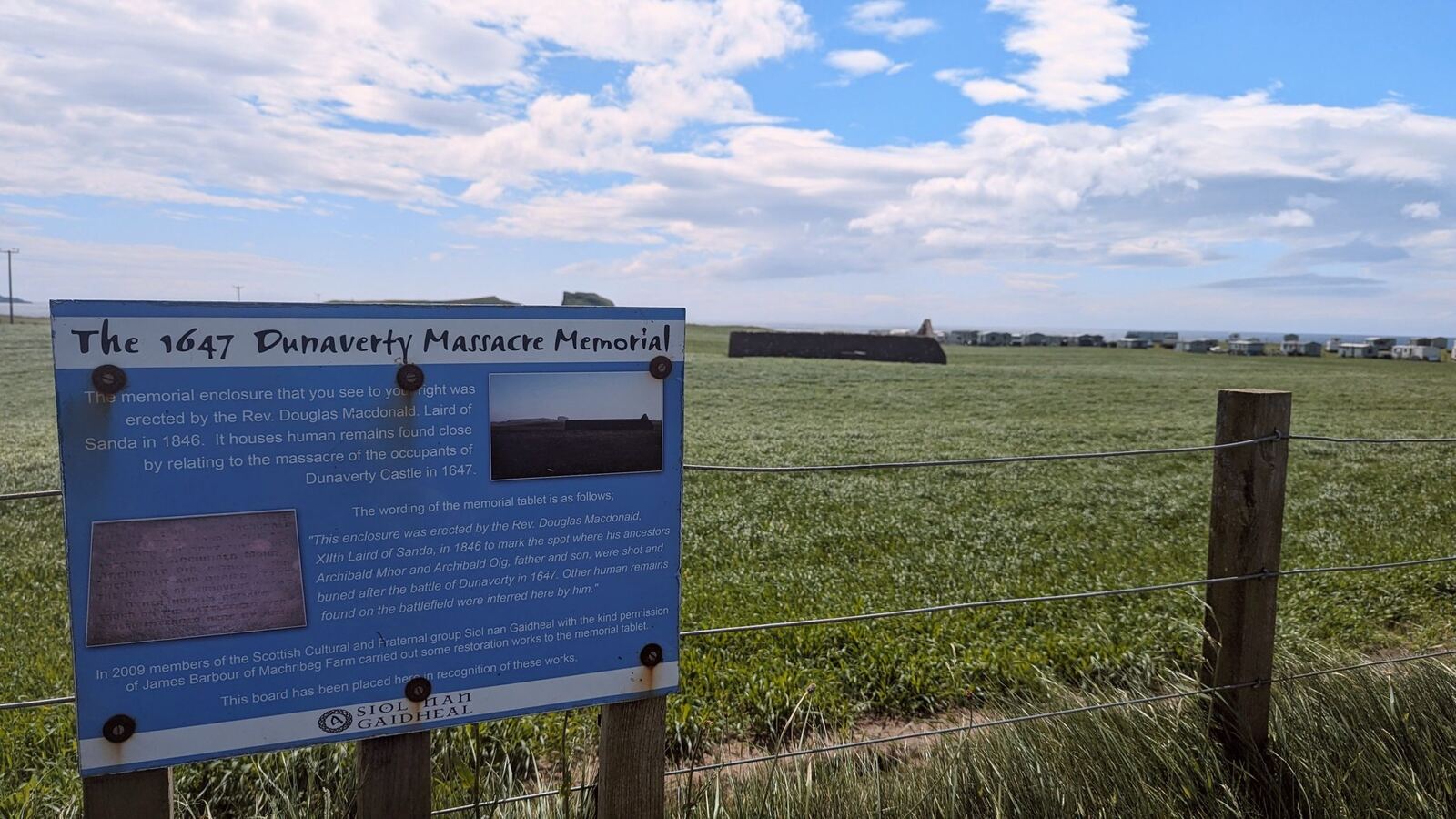
The great grassy sea-stack of Dunaverty Rock was once the site of Dunaverty Castle, a stronghold of the MacDonalds guarding the approaches to Kintyre. Its darkest chapter came in 1647: during the Wars of the Three Kingdoms, a Royalist garrison here was besieged by Covenanter forces under General David Leslie, and after surrendering, some 300 defenders were massacred — remembered today by the 1647 Dunaverty Massacre Memorial in the field below (there’s an interpretation board that tells the story). It’s a beautiful, poignant place. (History summarised from the on-site memorial board — Kevin, happy with this framing?)
The beaches & the walks
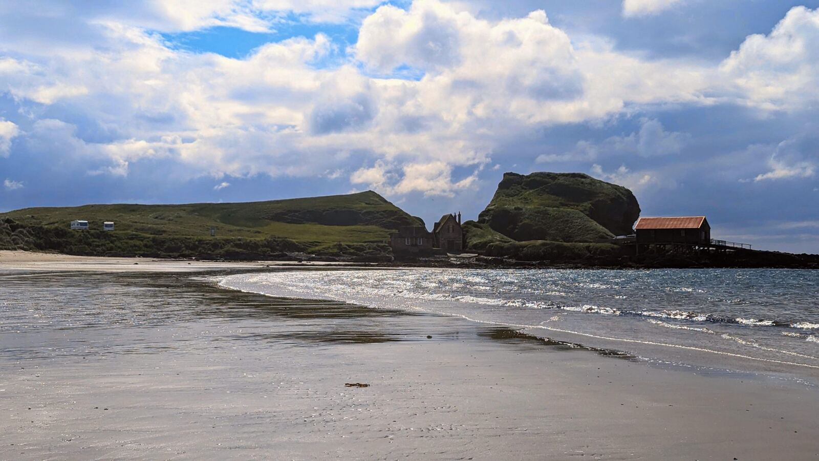
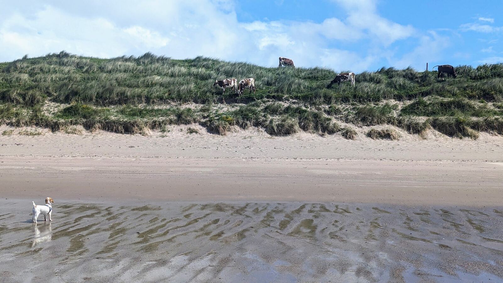
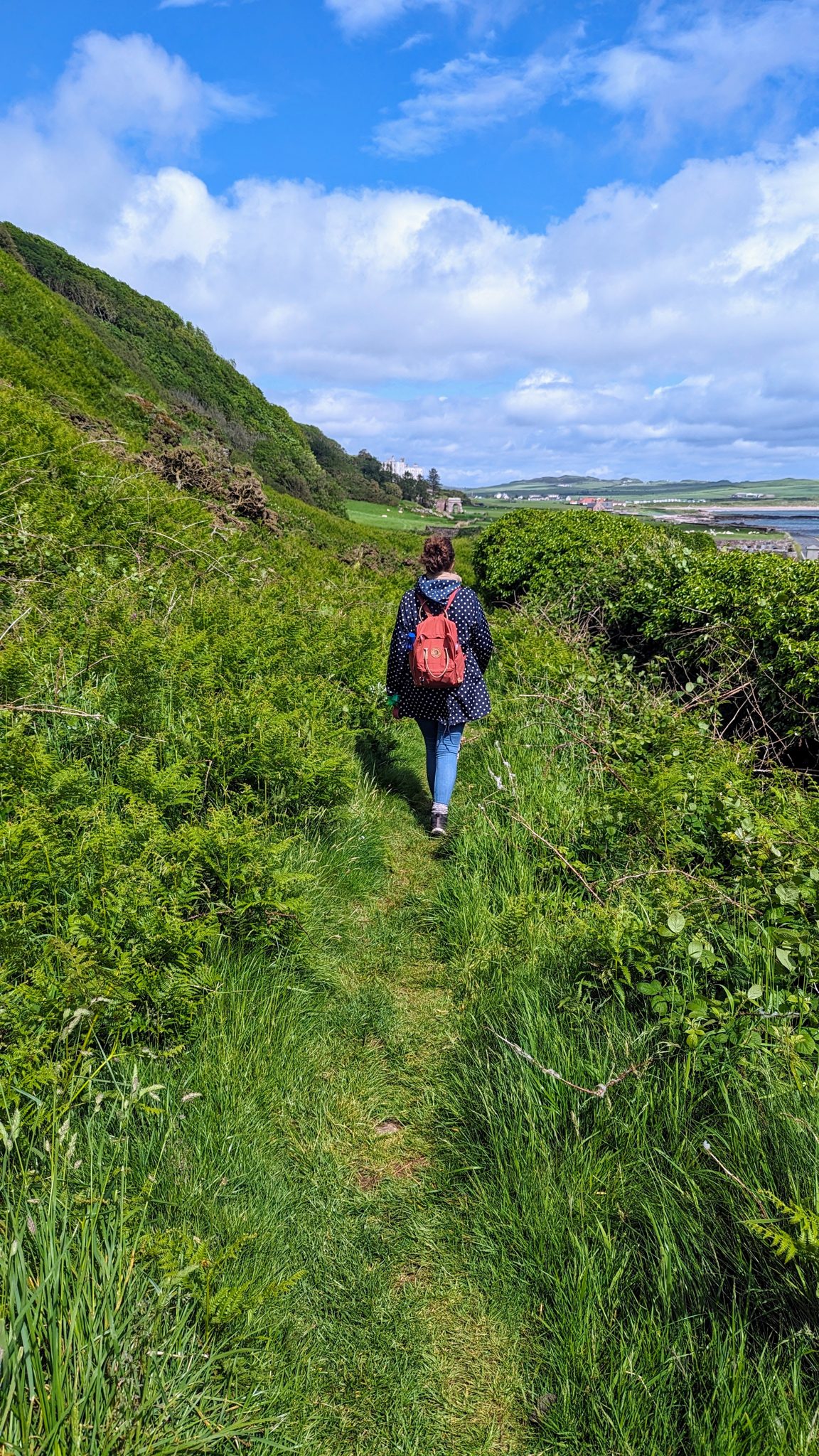
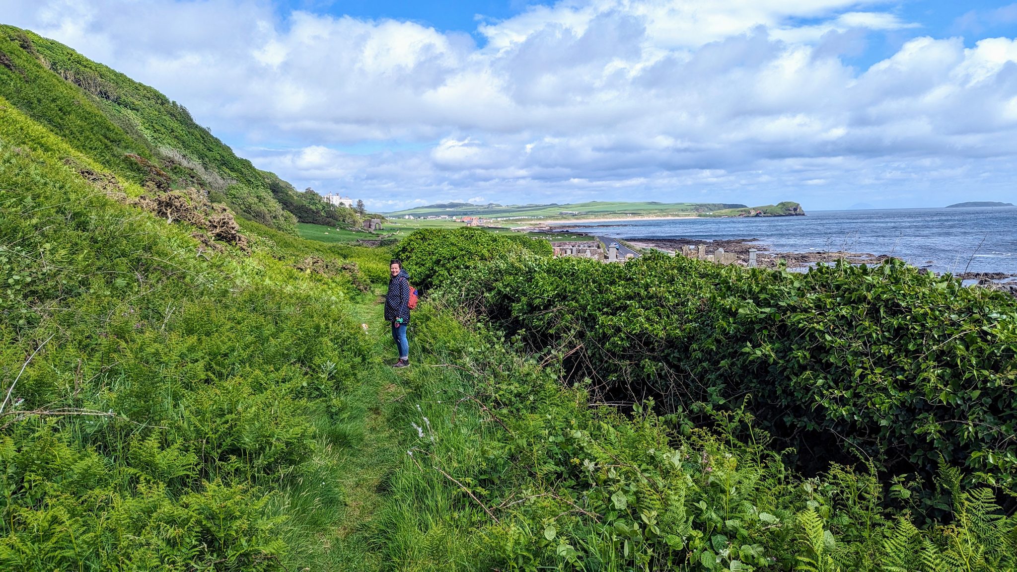
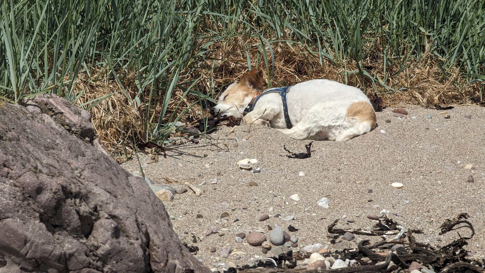
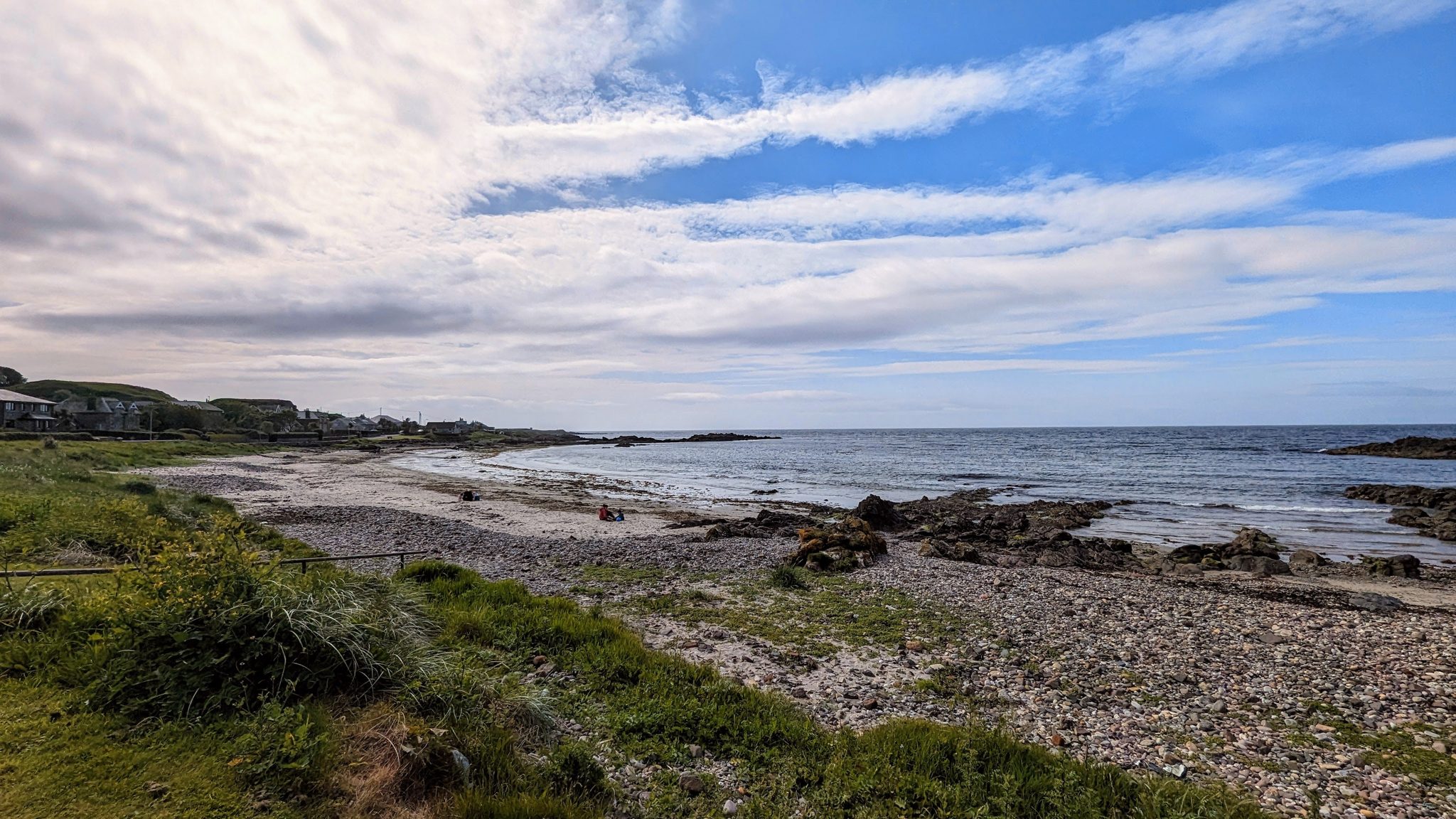
The big draw for us was simply being on the beach. There’s a long, clean sweep of sand (Brunerican / Machribeg) below the dunes, brilliant for long walks with the dog, with the old wartime lookout on the dunes and Sanda out to sea. We also climbed the hill behind the ruins of an old building near the village for the wider view over the whole southern tip (our route up is on the GPS map below). Easy, gorgeous, and blissfully quiet.
Wildlife & wildflowers — seals, orchids & the wild edge
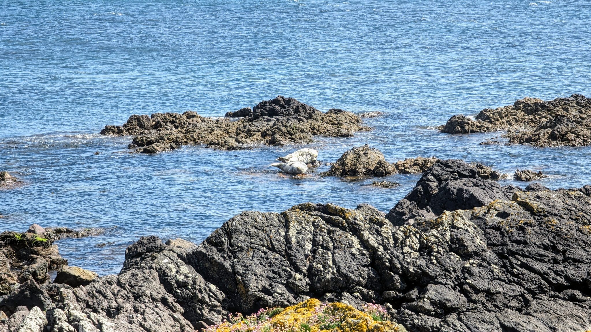
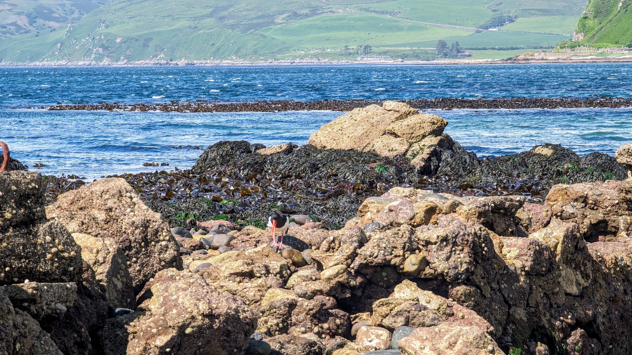
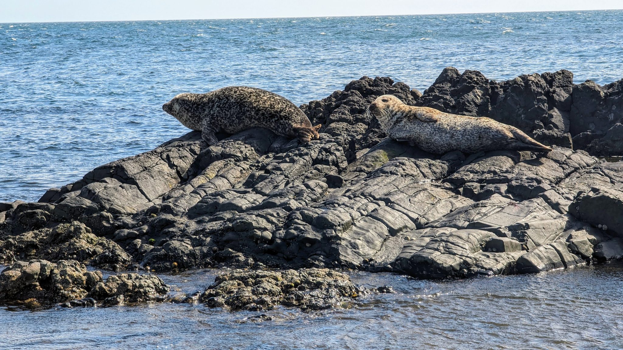
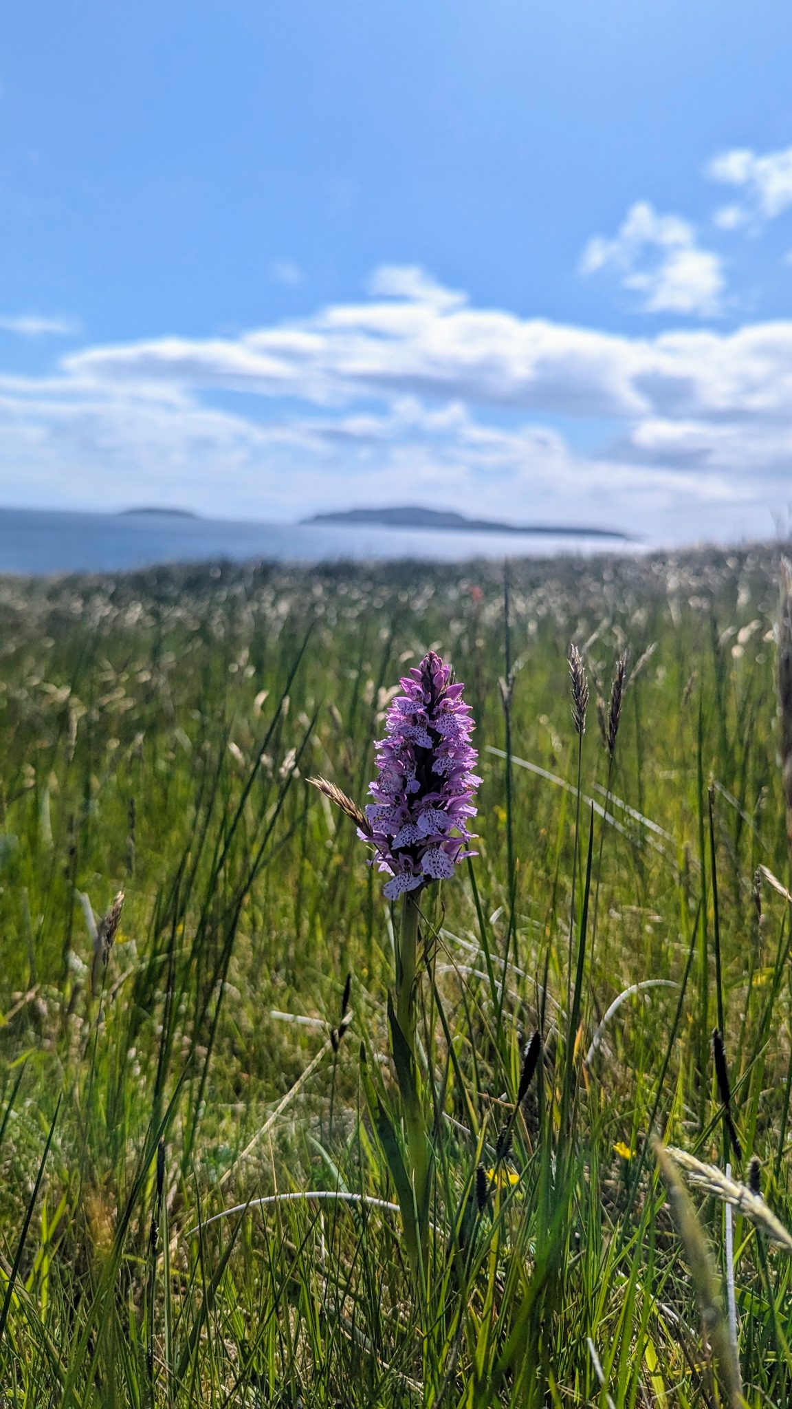
This far-flung corner is rich with wildlife. Grey and common seals haul out on the rocks and skerries off the shore — sit quietly and you’ll often spot a dozen dozing at low tide — and the sea off Sanda is good for seabirds, gannets and the odd basking shark in summer. In the damp ground behind the dunes, keep an eye out for wild orchids (we found marsh orchids in flower on our late-May visit). It’s that kind of place — quiet enough that nature just gets on with it around you.
Keil Caves & St Columba’s
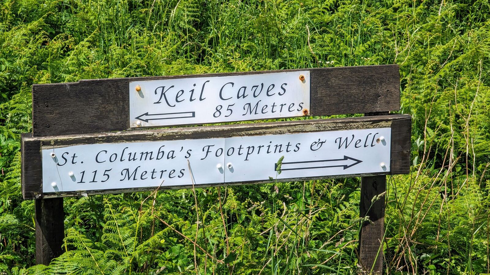
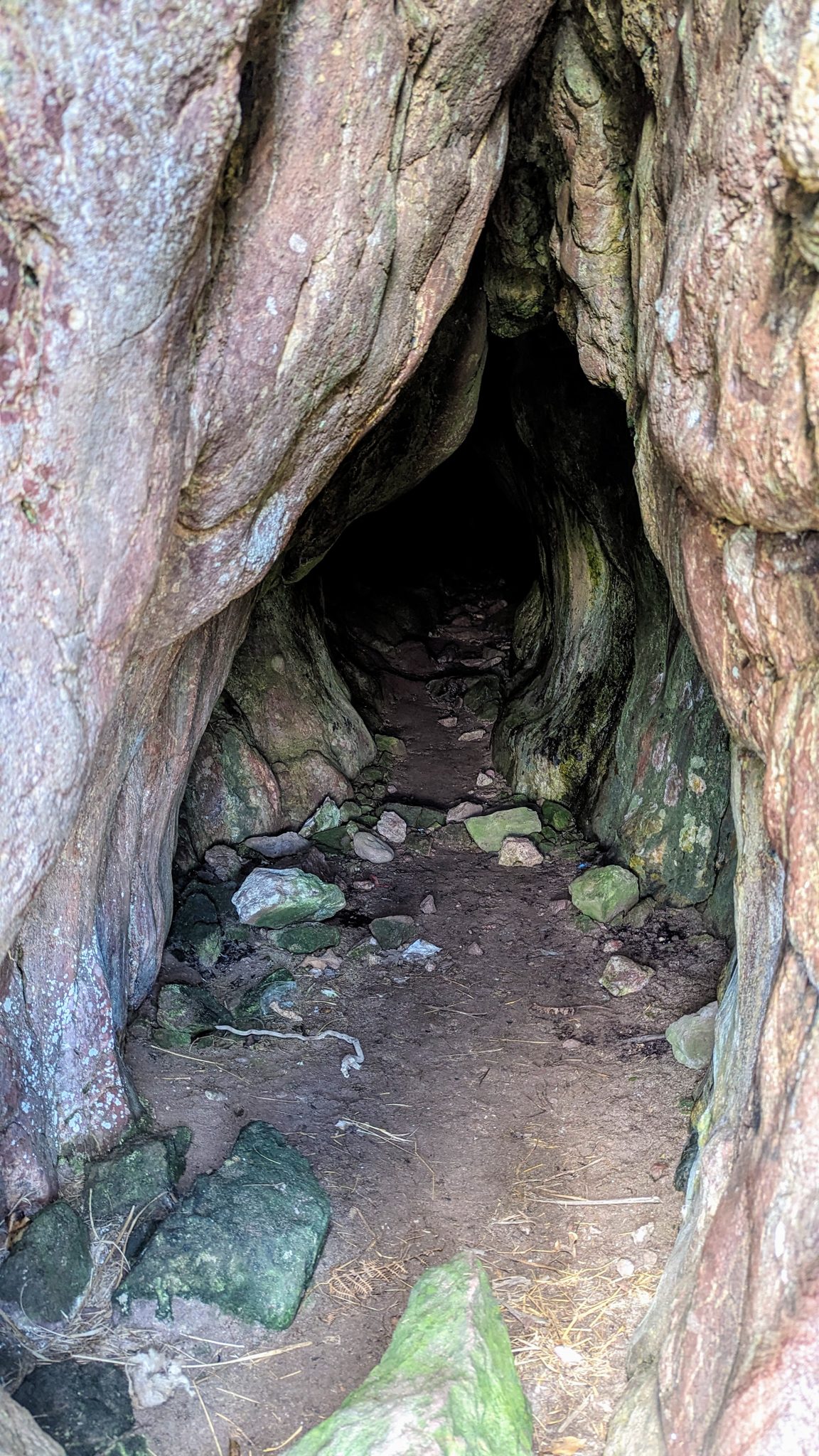
Just west, at Keil, are the St Columba’s footprints and chapel and the atmospheric Keil Caves — reputedly where St Columba first set foot in Scotland before Iona. Signed off the road, and an easy add-on. (There’s a fuller Keil & St Columba’s page — this is the neighbouring corner.)
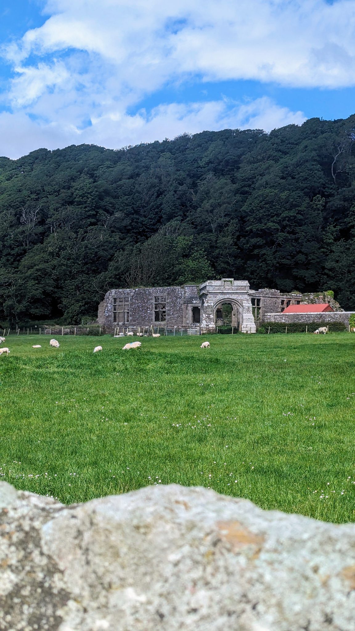
The tradition is a big one: this is said to be where St Columba first landed in Scotland in 563 AD, before sailing on to Iona — and a pair of footprints carved into a rock above the ruined Keil chapel (Kilcolmkill) mark the spot where he’s supposed to have stood. Whatever you make of the legend, the ruined old church in its field of sheep, the carved stones and the dark Keil Cave in the cliff behind make an atmospheric, ancient-feeling corner.
A village tea room
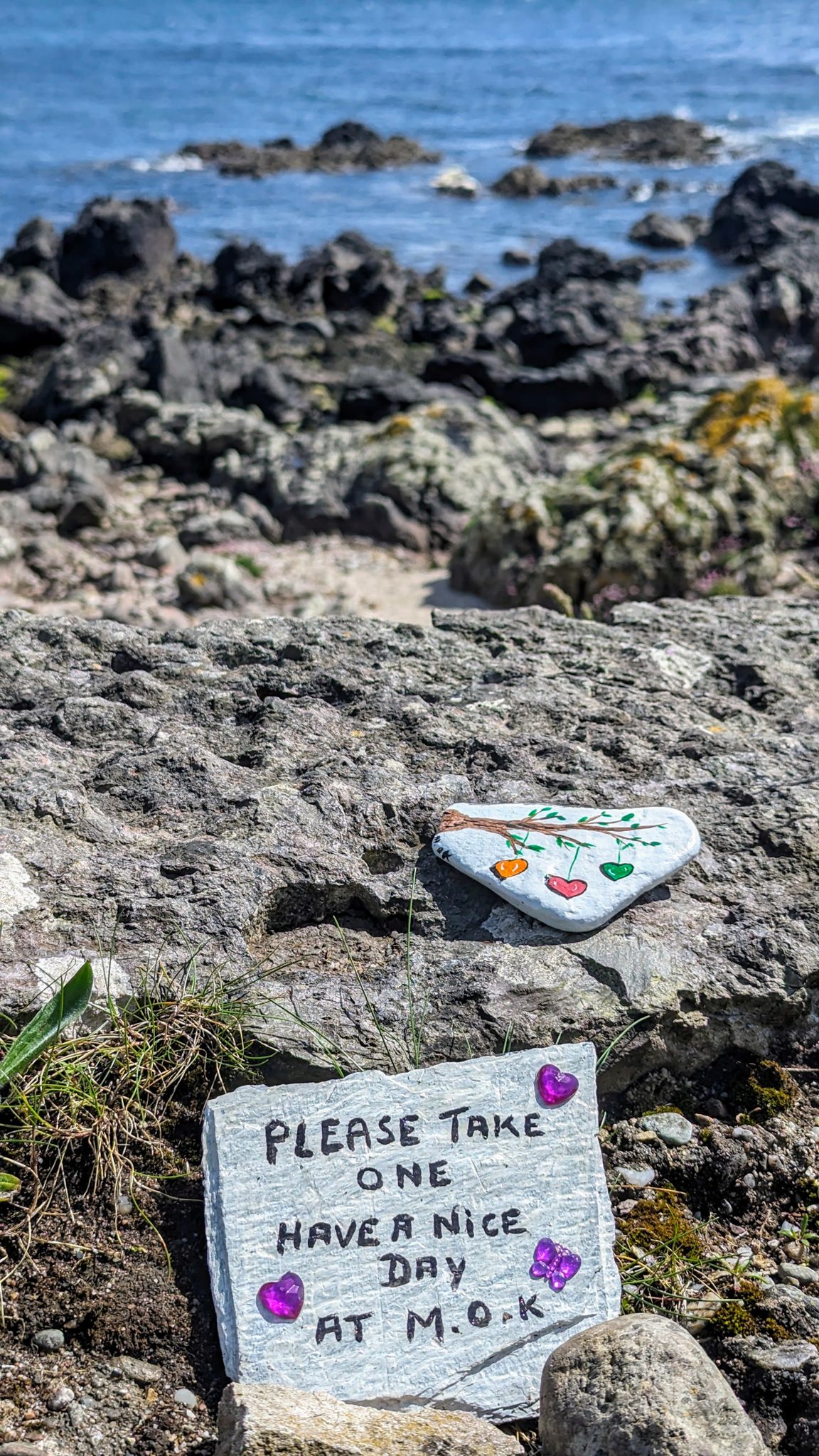
Down in the village, the local shop doubles as a tea room — this is Muneroy Stores & Tearoom, a proper old-fashioned community spot, long run by Ian and Frances Hill and famous for enormous home-baked cakes and meringues, good soup and filled rolls. (Worth a check before you go — the Hills put Muneroy up for sale to retire, so it may since have changed hands or hours.) Out along the shore you’ll also spot little hand-painted “kindness rocks” tucked among the stones — a nice touch of local community spirit (“take one, have a nice day”).
Staying — free by the beach (we did 4 nights)
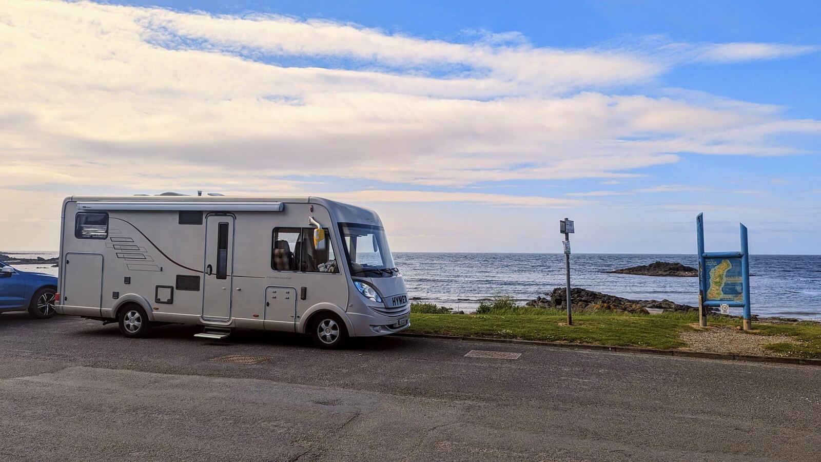
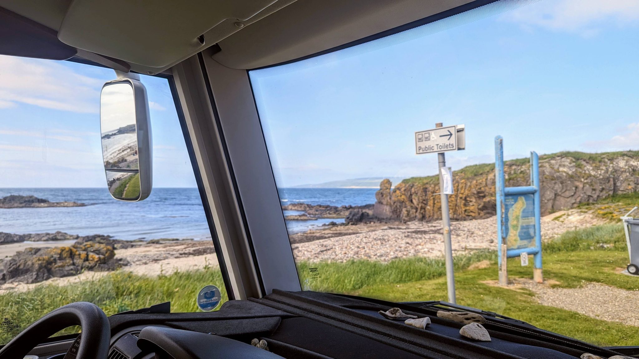
Here’s the good bit for van life: there’s one free car park, right next to the beach and the church, and we settled in there for about four nights — beach on the doorstep, walks straight from the door, and the village a stroll away. As ever, be considerate and tidy — quiet places stay good only if everyone treats them well. We were here in the Hymer 594 motorhome.
🗺️ Map — our Southend visit (from GPS)
Our recorded track (29–30 May 2024): the beach, Dunaverty Rock and the memorial, Keil, and the shore walks.
Best time to visit
Late spring to early autumn for the beach and the long light (our late-May visit was gorgeous). It’s exposed to the south and west, so it can be breezy — but that’s half the charm. Bring layers, and enjoy how quiet it stays even in season.
Combine it with
- Keil & St Columba’s — the neighbouring corner (caves, chapel, footprints, sunsets).
- The Mull of Kintyre — the famous headland and lighthouse road, west of here.
- Campbeltown — the town, the whisky and the harbour, 10 miles north.
- Sanda Island — offshore, seasonal trips (check locally).
Reality notes
- 🅿️ Parking/overnight: free car park by the beach & church — be tidy and considerate.
- 🏖️ Beach: big, clean, dog-friendly; mind tides and the exposed aspect.
- 🏰 Dunaverty Rock: unstaffed — steep, grassy and unfenced on top; sensible footwear and care.
- ☕ Tea room: in the village (check seasonal hours).
- 🐕 Dogs: brilliant — beach and hill (leads near livestock).
Sources
- On-site: 1647 Dunaverty Massacre Memorial board, Mid-Argyll & Kintyre Car Tour Trails (St Columba’s Chapel) board, and the Kintyre interpretation stone (Kevin’s photos)
- Dunaverty Castle — Wikipedia
- Southend, Kintyre — Wikipedia
Why you carry everything at the end of Kintyre
Southend is the wild end of the peninsula, and there is very little out here — no shop round the corner, no café when the wind gets up. Whatever you want during the day, you brought with you. A pack that carries a full day’s food, water and spare layers, and shrugs off Atlantic rain, is simply the cost of being somewhere this empty.
☔ The wild end of Kintyre takes its weather straight off the Atlantic, and for most of the year — September through June — that means rain, frequently and without warning. The sun that greets you at Dunaverty at seven is very often gone by eight. Local folk carry a small backpack with a light waterproof, occasionally trousers too, and a brolly they can have out in seconds. Boots or bike, carry the same and the wild end stays welcoming.
ECOHUB 30L Waterproof Roll-Top Backpack
Out on the exposed tip of Kintyre the weather turns in minutes, so a lightweight roll-top pack that seals watertight earns its place — roll the top and your layers, lunch and camera stay dry all the way from Dunaverty to the Mull road.
Check price on Amazon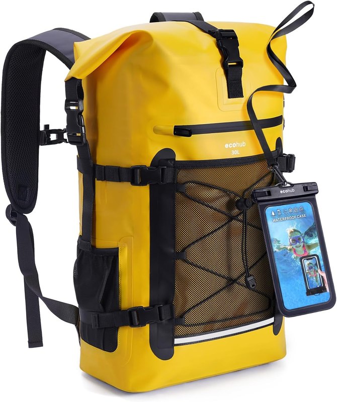
🪙 Detecting on this beach
Dunaverty’s sand at the wild end of Kintyre — remote, storm-scoured, and about as far from a worked-out beach as you will find in Scotland.
Know this before you swing: Crown Estate Scotland asks nothing of you on the foreshore — no permit, no form. The machair and fields behind Dunaverty are a different story. All finds report to the Treasure Trove Unit, and this corner of Kintyre is thick with early Christian sites, so check the designations map carefully. The rules → · our guide →
If you are looking for a hobby that gets you to places like this and occasionally pays you back, this is it. Dunaverty is remote, storm-scoured and barely worked, which is exactly the profile that rewards patience. The machine is the only real cost; after that, the Atlantic does the excavating.