
North Berwick Law: The Volcanic Hill, the Whalebone Arch & a 360° View
Overview
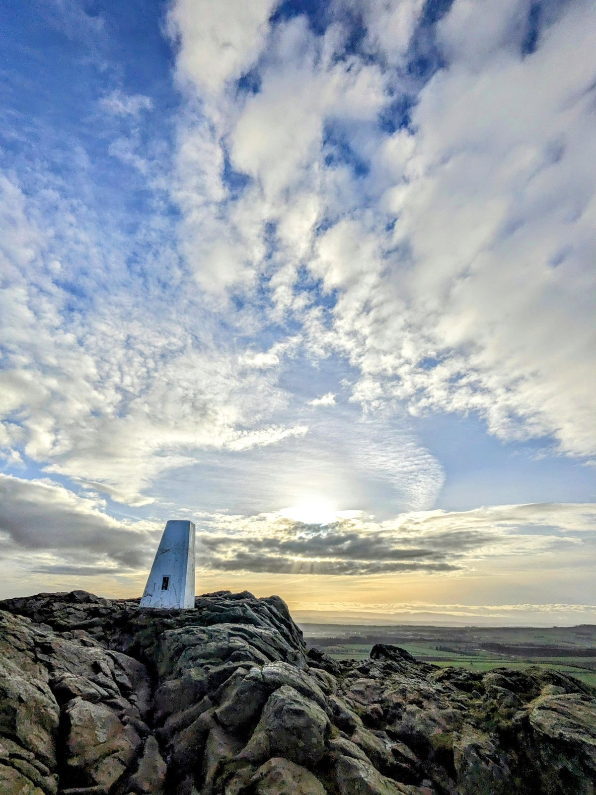
Rising straight up behind the town, the Law is North Berwick’s great landmark — a perfect green cone you can see for miles, crowned by a whale’s-jawbone arch and offering one of the finest 360-degree views in the south of Scotland. It’s a short but stiff climb, and one of our favourite things to do here.
A hill made by a volcano
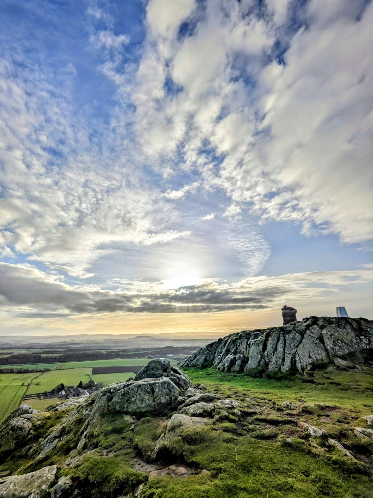
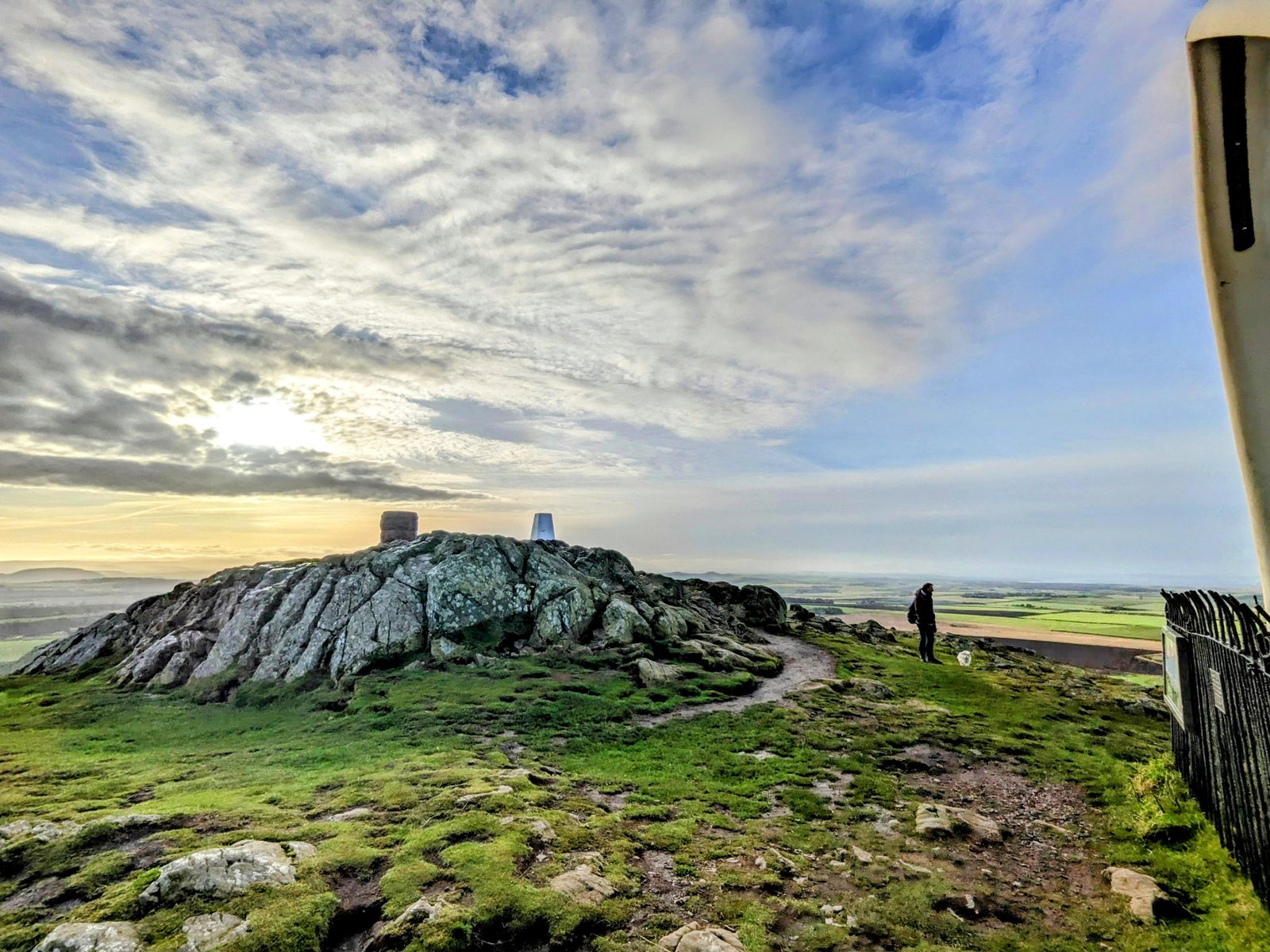
North Berwick Law is an extinct volcanic plug — the solidified throat of a volcano that erupted here in the Carboniferous period, around 350 million years ago. The molten rock cooled underground into a hard mass of phonolitic trachyte, and as the softer rock around it slowly wore away, this tough core was left standing proud of the plain. During the last Ice Age, glaciers grinding eastwards sculpted it into a textbook “crag and tail” — a steep, blunt western face where the ice struck first, and a long, tapering ridge of sheltered rock trailing away to the east.
It is one of a whole family of volcanic landmarks across the Lothians, all born of the same ancient fires: the Bass Rock out in the Forth, Traprain Law inland, and, away to the west, Arthur’s Seat and the crag that carries Edinburgh Castle. The word “Law” itself is old Scots for precisely this kind of feature — a rounded, isolated hill. It stands 187 metres (613 ft) high, and though it looks a stiff pull from the town, a good path zig-zags to the top in well under an hour.
The whalebone arch
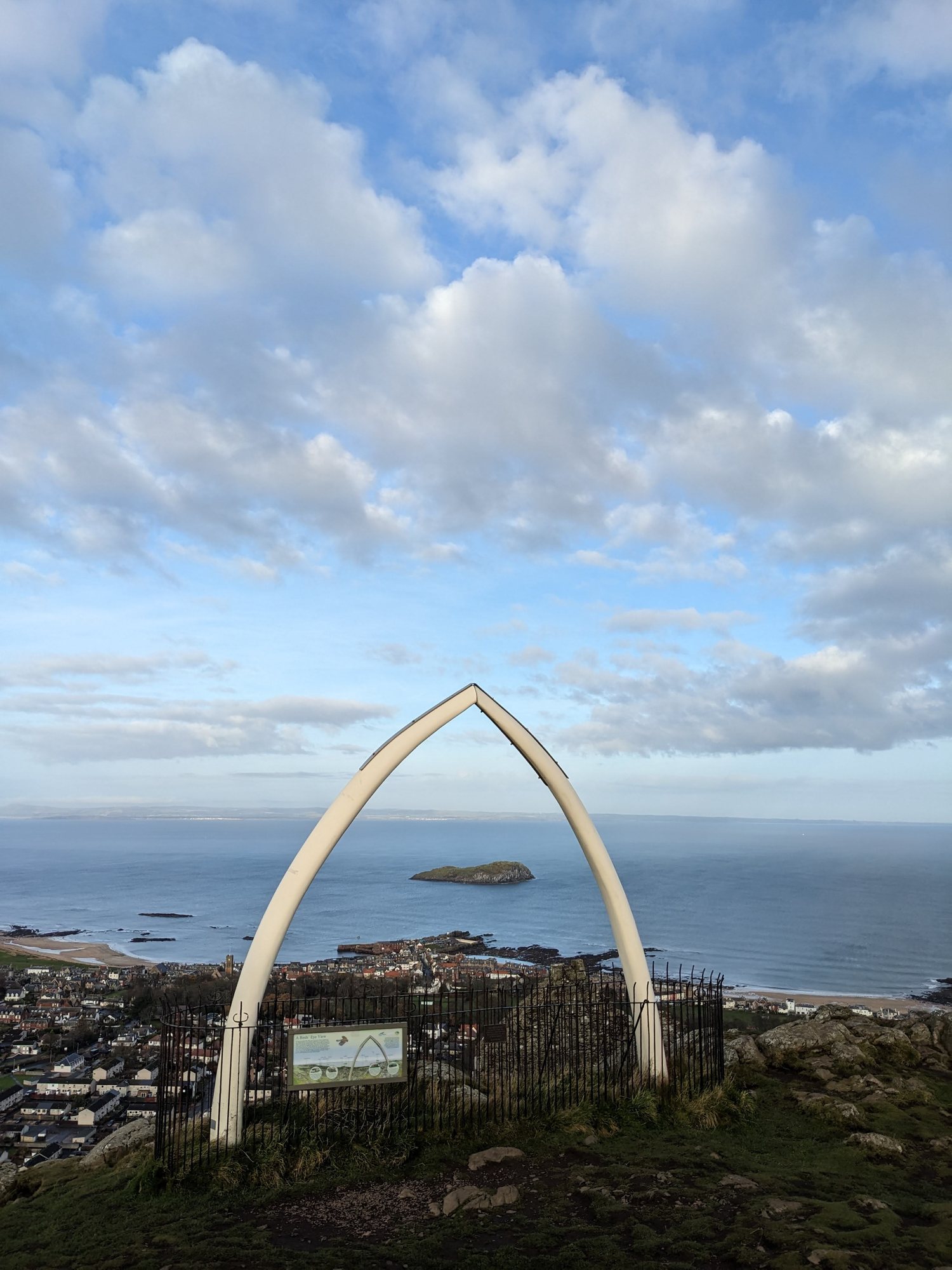
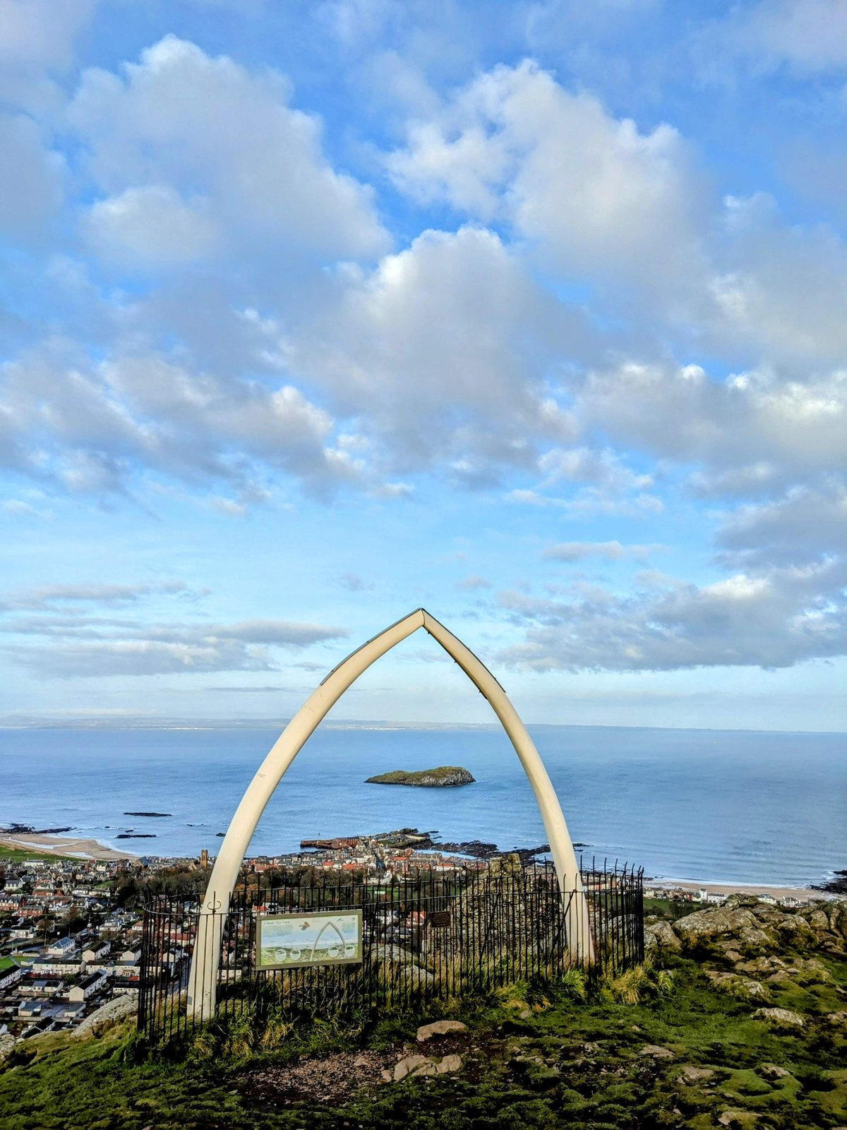
The summit’s crowning oddity is its whalebone arch — and it has a wonderful pedigree. A pair of whale’s jawbones has stood up here since 1709, a memento of East Lothian’s old links to the whaling trade and an unmistakable sea-mark for sailors in the Forth. As each set slowly rotted in the Scottish weather it was replaced — fresh bones going up in 1789, again in the 1850s, and once more in 1933. That last set finally had to be taken down in 2005 on safety grounds, leaving the Law bare-headed for the first time in nearly three centuries.
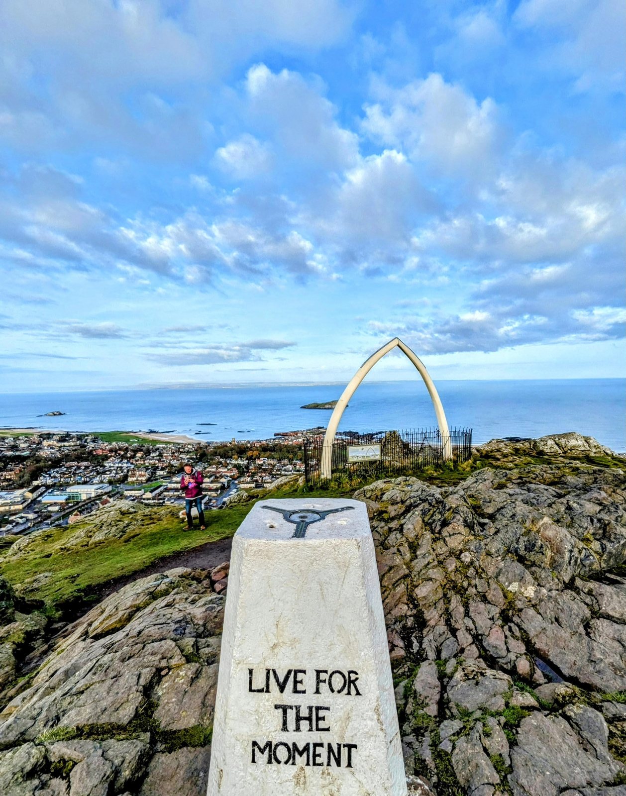
The townsfolk weren’t having that. A community fundraising drive paid for a full-size fibreglass replica, some 6.5 metres tall, and on 26 June 2008 it was airlifted onto the summit by helicopter to a cheering crowd, giving the Law back its famous silhouette. It frames the view out to the Bass Rock perfectly — and there’s a small “Live for the Moment” plaque set into the rock beside it.
The view from the top
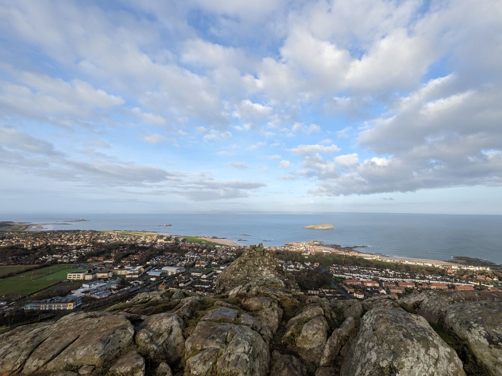
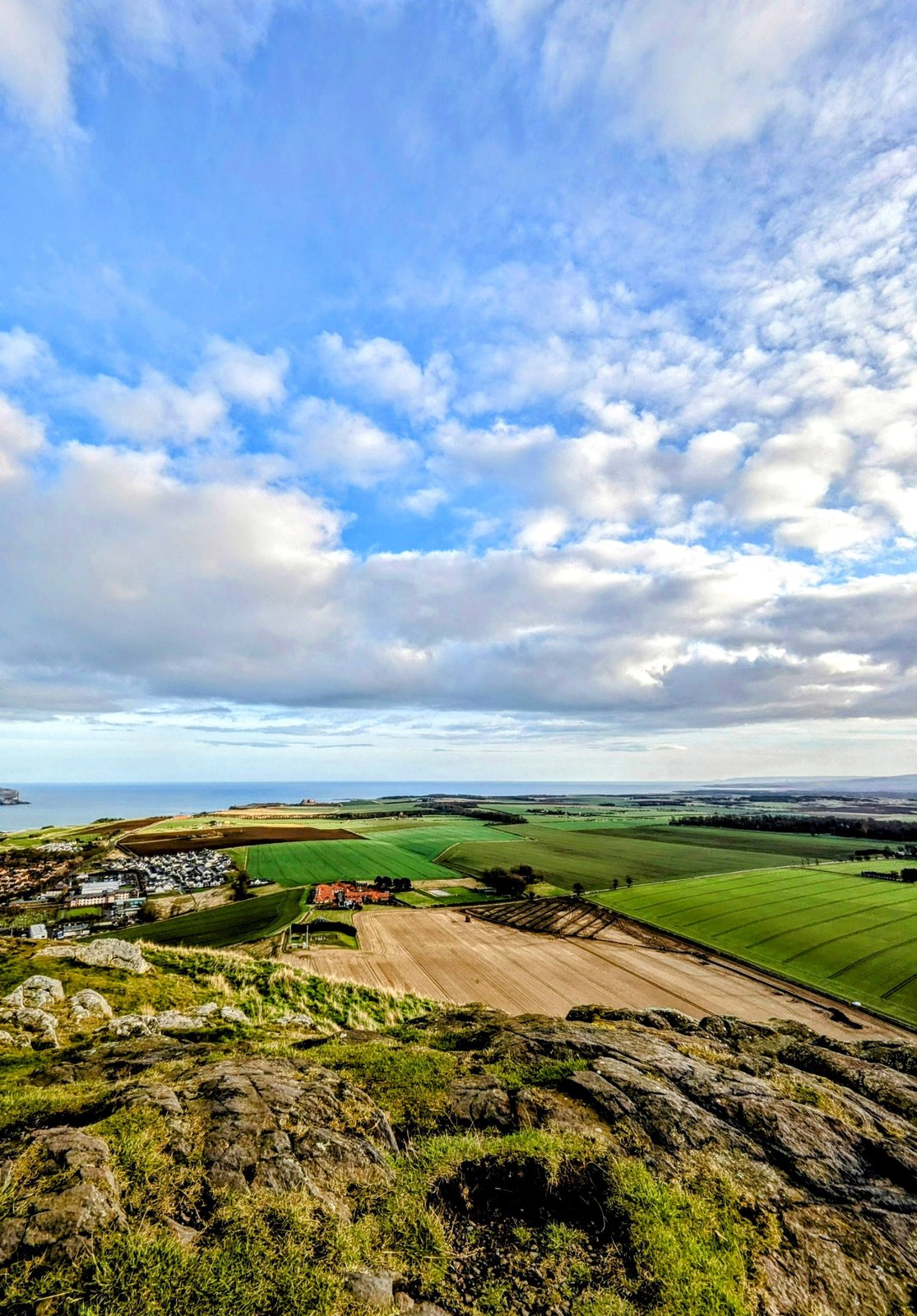
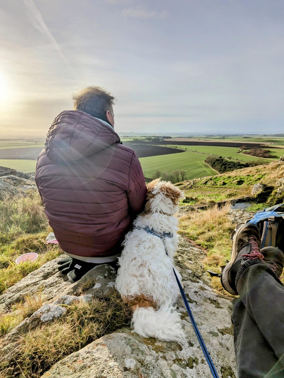
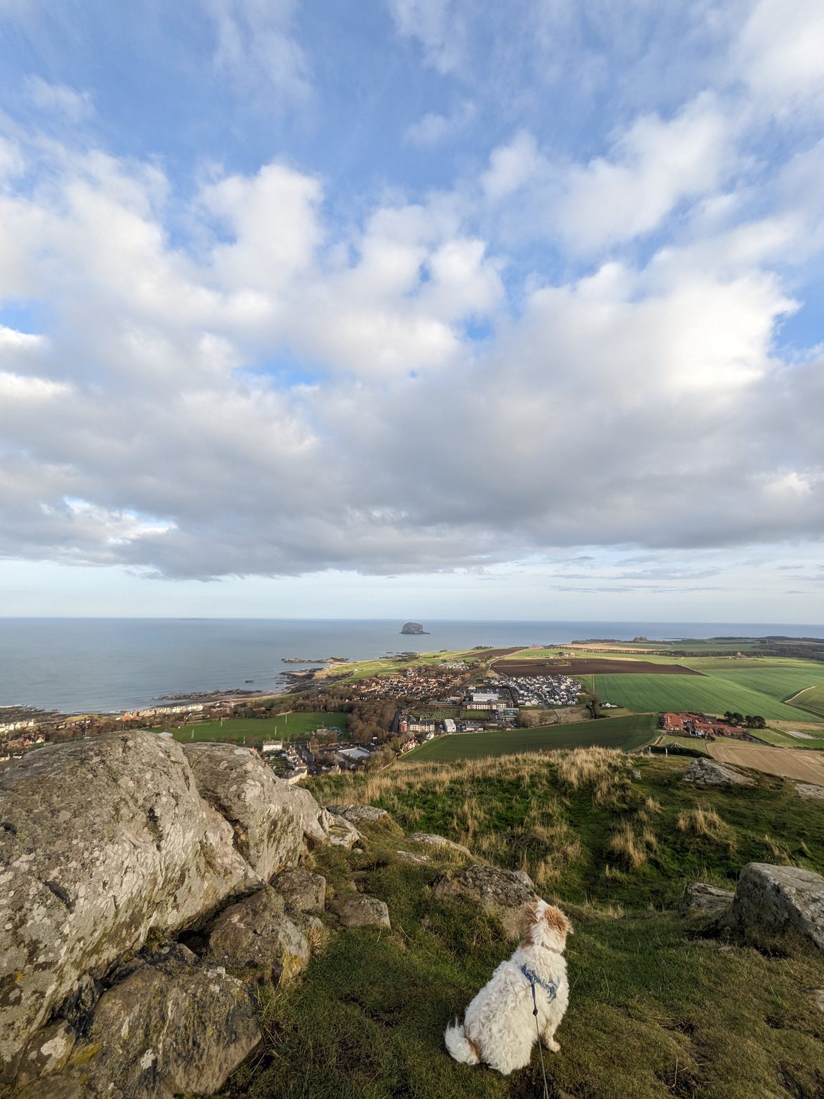
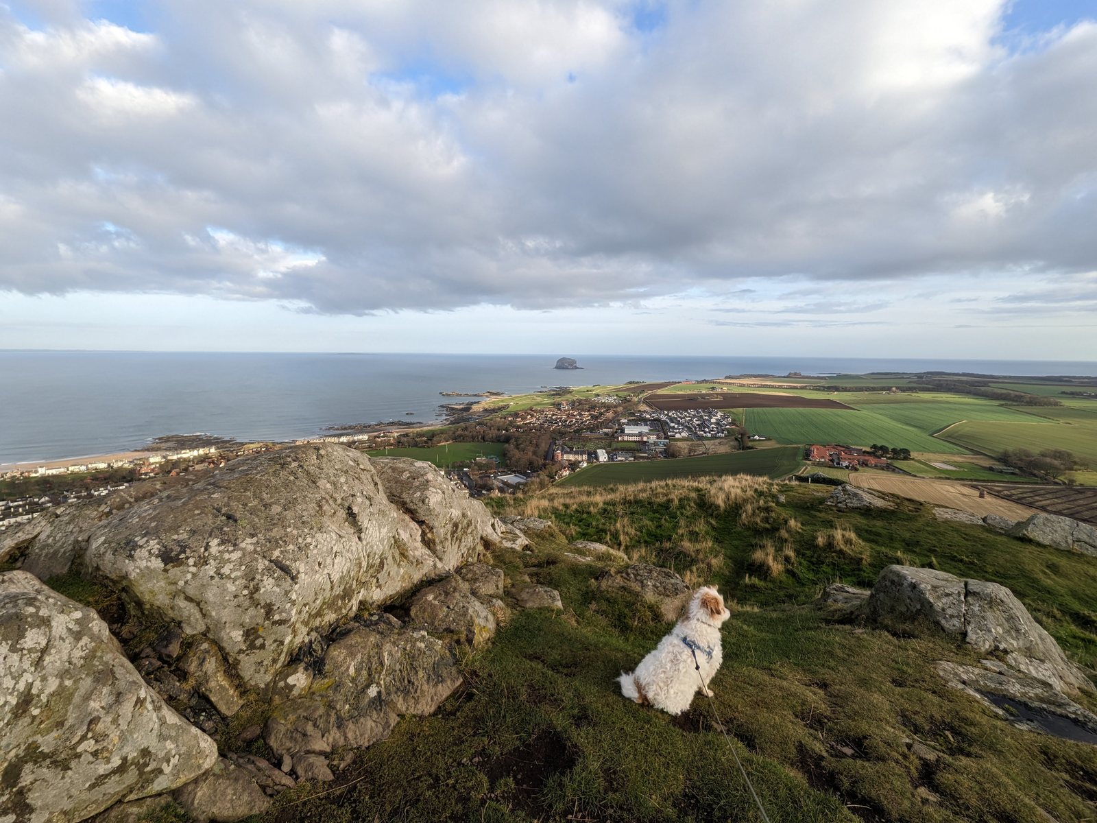
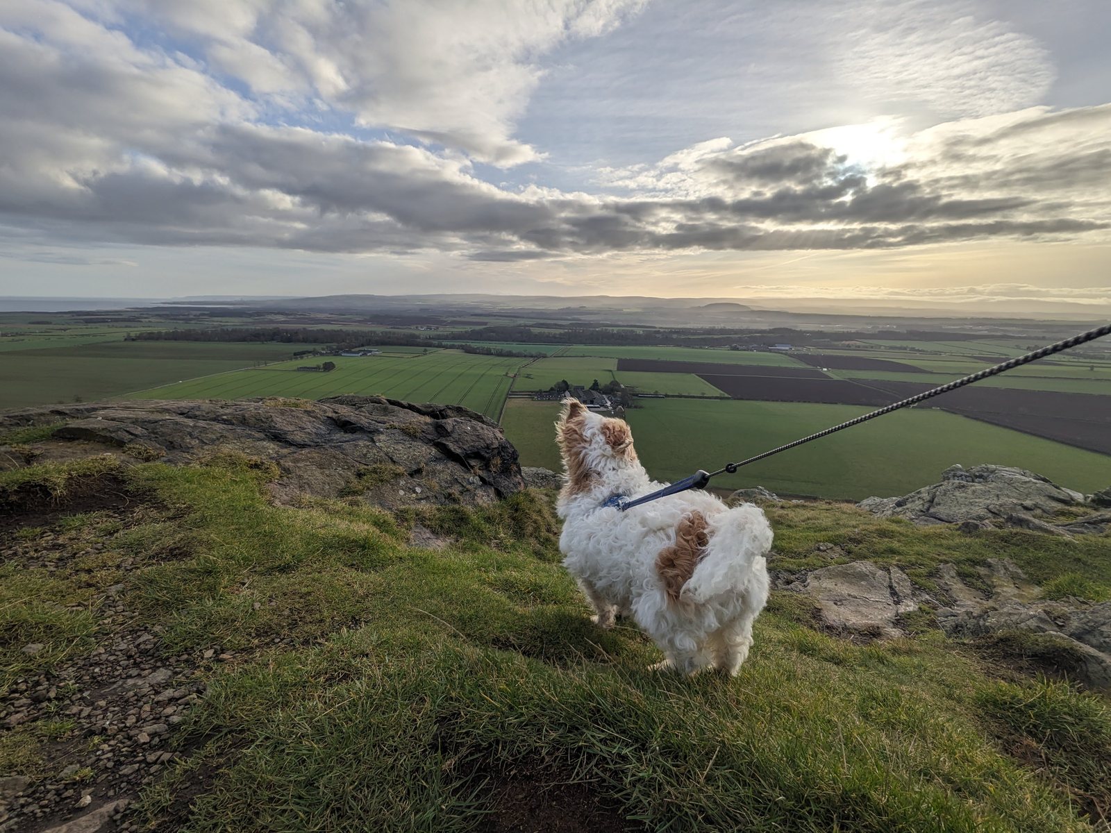
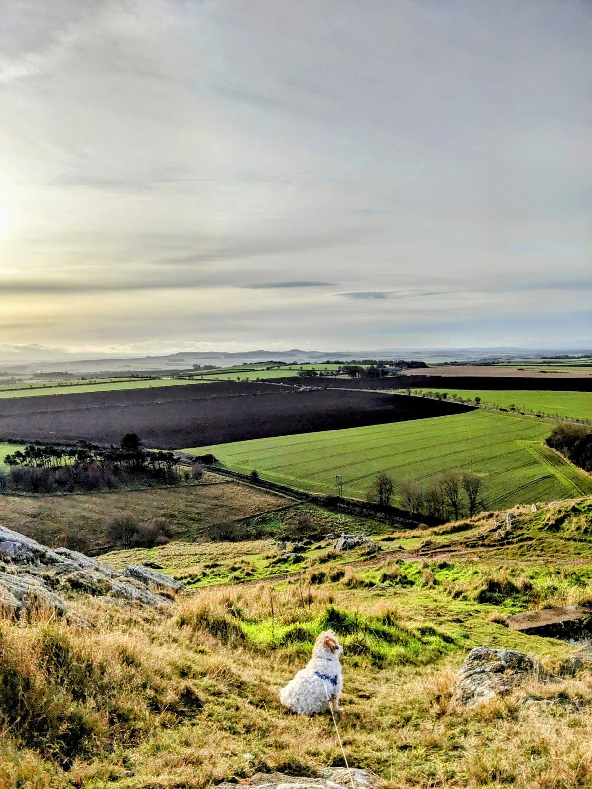
The reward is a genuinely jaw-dropping panorama. On a clear day you can see the Bass Rock and the Isle of May out in the Forth, across to the hills of Fife, west to Edinburgh, Arthur’s Seat and the Pentlands, and the whole patchwork of East Lothian farmland at your feet. It’s the best possible way to get your bearings on this stretch of coast.
An Iron Age stronghold
You are very far from the first to value this vantage point. Scattered across the Law’s slopes are the faint remains of an Iron Age hillfort — the tumbled lines of defensive ramparts and, terraced into the hillside, the platforms of the round houses where people lived and sheltered some two thousand years ago. This was the country of the Gododdin, the Celtic people the Romans called the Votadini, who watched over this coast long before there was any castle or town on the shore below. Stand at the top and you see exactly why they chose it: almost nothing moves on this stretch of land, or out on the water, unseen.
Lookouts in two wars
The Law kept its role as a watchtower right into modern times. Just below the summit stand the ruined walls of a lookout station pressed into service in two different wars. During the Napoleonic Wars, around 1800, soldiers were posted here to scan the Firth of Forth for a French invasion fleet, ready to light a warning beacon as one link in a chain of signal stations strung all the way up the coast. Nearly a century and a half later, in the Second World War, the summit was manned again as an observation post, keeping watch over the approaches to the Forth and the great naval anchorage beyond. The very view that draws walkers up today was, for the best part of two centuries, a matter of national defence.
Watch: up North Berwick Law

Insta360 X6 360° Action Camera
The view from the top of the Law is made for our Insta360 X6 — the 360° camera we film everything on. Up at the whalebone arch you just hold it out and it grabs the full panorama, Bass Rock and all, in one go, then you pick the framing later. Light, tough and dead easy — perfect for a hill with a view.
Check price on Amazon
☔ East Lothian is the drier corner of Scotland, but ‘drier’ is relative and the Law has no cover at all — the wind comes straight off the Forth. Carry a packable waterproof and a compact brolly: you’ll climb in sun and summit in a squall often enough to learn the habit.
Waterproof 35L Dry-Bag Backpack
The Law is a short, sharp climb with no shelter at the top, so whatever you carry meets the weather head-on. This roll-top dry-bag pack keeps a jacket and camera bone-dry when the haar rolls in off the Forth — light on the back going up, and one less thing to worry about at the whalebone arch.
Check price on Amazon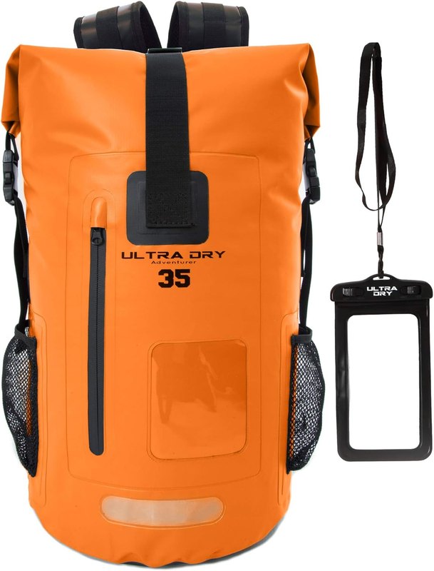
Nearby
- North Berwick — the town at the foot of the Law.
- North Berwick Harbour & the Scottish Seabird Centre — down on the shore.
- Bass Rock & the coast and Tantallon Castle — east along the shore.
Sources
- First-hand: Kevin & family, North Berwick Law, 2024 (own photos).
- Wikipedia & Undiscovered Scotland (the volcanic plug & phonolitic trachyte, the crag-and-tail, the whalebone arch from 1709 to the 2008 replica, the Iron Age fort of the Gododdin/Votadini, and the Napoleonic & WWII lookouts).